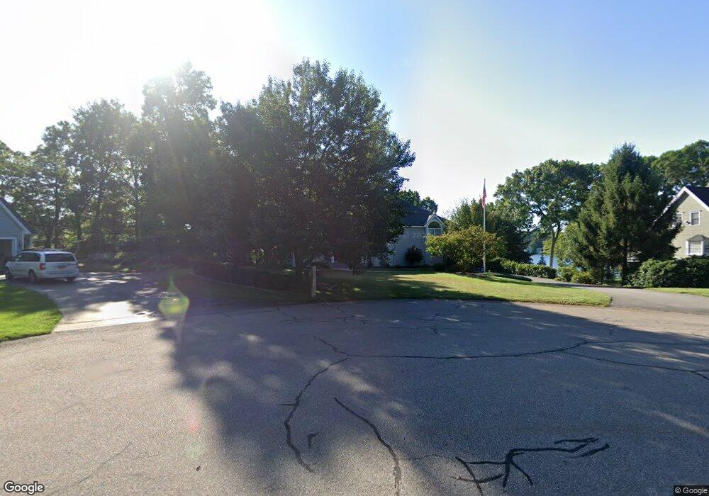
90 Oak Point Wrentham, MA 02093
Estimated Value: $1,174,000 - $1,904,000
4
Beds
5
Baths
3,342
Sq Ft
$426/Sq Ft
Est. Value
About This Home
This home is located at 90 Oak Point, Wrentham, MA 02093 and is currently estimated at $1,424,916, approximately $426 per square foot. 90 Oak Point is a home located in Norfolk County with nearby schools including Delaney Elementary School and Charles E Roderick.
Ownership History
Date
Name
Owned For
Owner Type
Purchase Details
Closed on
Oct 18, 2018
Sold by
Fontana Peter J and Fontana Janet M
Bought by
Fontana Lt
Current Estimated Value
Purchase Details
Closed on
Sep 10, 1993
Sold by
Council Oaks Assoc Inc
Bought by
Fontana Peter J and Fontana Janet M
Home Financials for this Owner
Home Financials are based on the most recent Mortgage that was taken out on this home.
Original Mortgage
$332,000
Interest Rate
7.21%
Mortgage Type
Purchase Money Mortgage
Create a Home Valuation Report for This Property
The Home Valuation Report is an in-depth analysis detailing your home's value as well as a comparison with similar homes in the area
Purchase History
| Date | Buyer | Sale Price | Title Company |
|---|---|---|---|
| Fontana Lt | -- | -- | |
| Fontana Peter J | $415,580 | -- |
Source: Public Records
Mortgage History
| Date | Status | Borrower | Loan Amount |
|---|---|---|---|
| Previous Owner | Fontana Peter J | $307,000 | |
| Previous Owner | Fontana Peter J | $316,500 | |
| Previous Owner | Fontana Peter J | $332,000 | |
| Previous Owner | Fontana Peter J | $100,000 |
Source: Public Records
Tax History
| Year | Tax Paid | Tax Assessment Tax Assessment Total Assessment is a certain percentage of the fair market value that is determined by local assessors to be the total taxable value of land and additions on the property. | Land | Improvement |
|---|---|---|---|---|
| 2025 | $13,176 | $1,136,800 | $537,500 | $599,300 |
| 2024 | $14,309 | $1,192,400 | $639,800 | $552,600 |
| 2023 | $14,801 | $1,172,800 | $581,800 | $591,000 |
| 2022 | $12,568 | $919,400 | $528,800 | $390,600 |
| 2021 | $13,952 | $991,600 | $528,800 | $462,800 |
| 2020 | $12,526 | $879,000 | $468,300 | $410,700 |
| 2019 | $12,701 | $899,500 | $468,300 | $431,200 |
| 2018 | $12,668 | $889,600 | $468,900 | $420,700 |
| 2017 | $12,316 | $864,300 | $459,800 | $404,500 |
| 2016 | $12,039 | $843,100 | $446,500 | $396,600 |
| 2015 | $12,693 | $847,300 | $458,900 | $388,400 |
| 2014 | $12,482 | $815,300 | $441,300 | $374,000 |
Source: Public Records
Map
Nearby Homes
- 500 Franklin St
- 135 Creek St Unit 2
- 10 Nature View Dr
- 15 Nature View Dr
- 2 Earle Stewart Ln
- 12 Earle Stewart Ln
- 3 Earle Stewart Ln
- 10 Earle Stewart Ln Unit Lot 5
- 15 Tilting Rock Rd
- 50 Reed Fulton Ave Unit Lot 61
- 45 Joshua Rd
- 576 Dedham St
- 0 W Birch Rd
- 11 Weber Farm Rd Unit 11
- 1 Weber Farm Rd Unit 1
- 4 Weber Farm Rd Unit 4
- 6 Weber Farm Rd Unit 6
- 8 Weber Farm Rd Unit 8
- 8 Ridgefield Rd
- 18 Northern Spy Rd
Your Personal Tour Guide
Ask me questions while you tour the home.