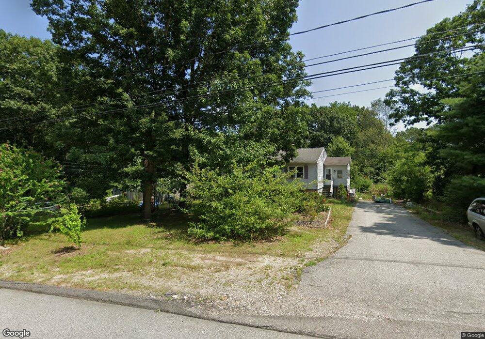
90 Old Cranston Rd Sterling, CT 06377
Estimated Value: $341,818 - $421,000
--
Bed
--
Bath
--
Sq Ft
2
Acres
About This Home
This home is located at 90 Old Cranston Rd, Sterling, CT 06377 and is currently estimated at $383,705. 90 Old Cranston Rd is a home with nearby schools including Sterling Community School.
Ownership History
Date
Name
Owned For
Owner Type
Purchase Details
Closed on
Aug 26, 2004
Sold by
Pepin Eugene P and Pepin Gloria J
Bought by
Branco Melissa C and Grenon Todd C
Current Estimated Value
Home Financials for this Owner
Home Financials are based on the most recent Mortgage that was taken out on this home.
Original Mortgage
$164,000
Outstanding Balance
$75,318
Interest Rate
6.02%
Estimated Equity
$308,387
Create a Home Valuation Report for This Property
The Home Valuation Report is an in-depth analysis detailing your home's value as well as a comparison with similar homes in the area
Home Values in the Area
Average Home Value in this Area
Purchase History
| Date | Buyer | Sale Price | Title Company |
|---|---|---|---|
| Branco Melissa C | $230,000 | -- | |
| Branco Melissa C | $230,000 | -- |
Source: Public Records
Mortgage History
| Date | Status | Borrower | Loan Amount |
|---|---|---|---|
| Open | Branco Melissa C | $164,000 | |
| Closed | Branco Melissa C | $164,000 | |
| Previous Owner | Branco Melissa C | $130,000 | |
| Previous Owner | Branco Melissa C | $85,000 |
Source: Public Records
Tax History Compared to Growth
Tax History
| Year | Tax Paid | Tax Assessment Tax Assessment Total Assessment is a certain percentage of the fair market value that is determined by local assessors to be the total taxable value of land and additions on the property. | Land | Improvement |
|---|---|---|---|---|
| 2025 | $5,075 | $230,700 | $42,000 | $188,700 |
| 2024 | $5,456 | $230,700 | $42,000 | $188,700 |
| 2023 | $5,126 | $230,700 | $42,000 | $188,700 |
| 2022 | $3,967 | $124,210 | $21,700 | $102,510 |
| 2021 | $3,967 | $124,210 | $21,700 | $102,510 |
| 2020 | $3,967 | $124,210 | $21,700 | $102,510 |
| 2019 | $3,967 | $124,210 | $21,700 | $102,510 |
| 2018 | $3,950 | $124,210 | $21,700 | $102,510 |
| 2017 | $4,337 | $136,390 | $28,000 | $108,390 |
| 2016 | $4,310 | $136,390 | $28,000 | $108,390 |
| 2015 | $4,310 | $136,390 | $28,000 | $108,390 |
| 2014 | $4,296 | $136,390 | $28,000 | $108,390 |
Source: Public Records
Map
Nearby Homes
- 581 Sterling Rd
- 1 Johns Cir
- 5 John's Cir Unit Lot 35
- 1 John's Cir Unit Lot 37
- 8 John's Cir Unit Lot 33
- 4 Johns Cir Unit Lot 31
- 7 Johns Cir Unit Lot 34
- 35 River Rd
- 38 Deerfield Dr
- 197 Church St
- 24 River Rd
- 126 Pine Hill Rd
- 18 Ledge Hill Rd
- 367 Pine Hill Rd
- 58 New Rd
- 532 Lewis Farm Rd
- 10 Ralph St
- 0 Rice City Rd
- 93 Moosup Valley Rd
- 181 Snake Meadow Rd
- 92 Old Cranston Rd
- 84 Old Cranston Rd
- 110 Old Cranston Rd
- 78 Old Cranston Rd
- 95 Old Cranston Rd
- 70 Old Cranston Rd
- 77 Old Cranston Rd
- 73 Old Cranston Rd
- 61 Old Cranston Rd
- 58 Old Cranston Rd
- 87 Old Cranston Rd
- 81 Old Cranston Rd
- 53 Old Cranston Rd
- 50 Old Cranston Rd
- 794 Sterling Rd
- 41 Old Cranston Rd
- 42 Old Cranston Rd
- 792 Sterling Rd
- 34 Old Cranston Rd
- 31 Old Cranston Rd