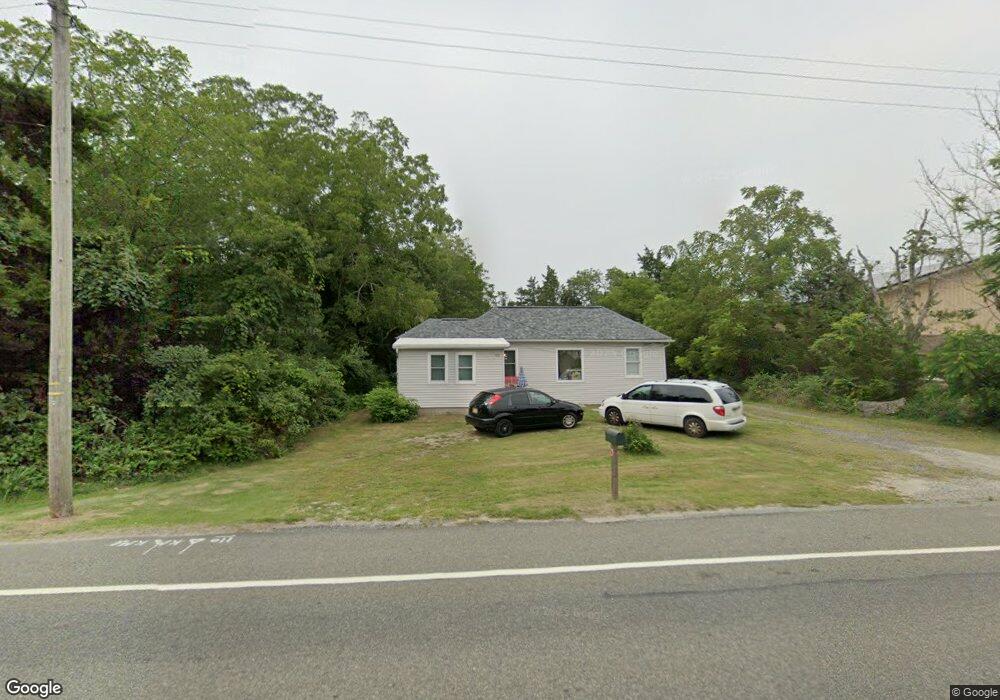
90 Route 50 Ocean View, NJ 08230
Estimated Value: $235,569 - $491,000
--
Bed
--
Bath
740
Sq Ft
$450/Sq Ft
Est. Value
About This Home
This home is located at 90 Route 50, Ocean View, NJ 08230 and is currently estimated at $332,892, approximately $449 per square foot. 90 Route 50 is a home located in Cape May County with nearby schools including Upper Township Primary School, Upper Township Elementary School, and Upper Township Middle School.
Ownership History
Date
Name
Owned For
Owner Type
Purchase Details
Closed on
Sep 16, 2024
Sold by
Tower Debra V
Bought by
Zz Nj Rental Homes Llc
Current Estimated Value
Home Financials for this Owner
Home Financials are based on the most recent Mortgage that was taken out on this home.
Original Mortgage
$1,939,955
Interest Rate
6.47%
Mortgage Type
Construction
Purchase Details
Closed on
May 4, 2021
Sold by
Tower Thomas T Est
Bought by
Tower Debra V
Purchase Details
Closed on
Jul 26, 2001
Sold by
Dherco Development Corp
Bought by
Tower Thomas T
Purchase Details
Closed on
Jan 6, 1989
Sold by
Goodwin Samuel and Goodwin Elizabeth
Bought by
Cherco Development Corp
Create a Home Valuation Report for This Property
The Home Valuation Report is an in-depth analysis detailing your home's value as well as a comparison with similar homes in the area
Home Values in the Area
Average Home Value in this Area
Purchase History
| Date | Buyer | Sale Price | Title Company |
|---|---|---|---|
| Zz Nj Rental Homes Llc | $200,000 | Surety Title | |
| Zz Nj Rental Homes Llc | $200,000 | Surety Title | |
| Tower Debra V | -- | None Available | |
| Tower Thomas T | $91,250 | -- | |
| Tower Thomas T | $91,250 | -- | |
| -- | $91,300 | -- | |
| Cherco Development Corp | $83,000 | -- |
Source: Public Records
Mortgage History
| Date | Status | Borrower | Loan Amount |
|---|---|---|---|
| Closed | Zz Nj Rental Homes Llc | $1,939,955 |
Source: Public Records
Tax History Compared to Growth
Tax History
| Year | Tax Paid | Tax Assessment Tax Assessment Total Assessment is a certain percentage of the fair market value that is determined by local assessors to be the total taxable value of land and additions on the property. | Land | Improvement |
|---|---|---|---|---|
| 2025 | $2,995 | $130,500 | $93,300 | $37,200 |
| 2024 | $2,995 | $130,500 | $93,300 | $37,200 |
| 2023 | $2,848 | $130,500 | $93,300 | $37,200 |
| 2022 | $2,752 | $130,500 | $93,300 | $37,200 |
| 2021 | $2,656 | $130,500 | $93,300 | $37,200 |
| 2020 | $2,555 | $130,500 | $93,300 | $37,200 |
| 2019 | $2,494 | $130,500 | $93,300 | $37,200 |
| 2018 | $2,430 | $130,500 | $93,300 | $37,200 |
| 2017 | $2,403 | $130,500 | $93,300 | $37,200 |
| 2016 | $2,440 | $130,500 | $93,300 | $37,200 |
| 2015 | $2,376 | $130,500 | $93,300 | $37,200 |
| 2014 | $2,608 | $175,400 | $139,800 | $35,600 |
Source: Public Records
Map
Nearby Homes
- 86 Route 50
- 49 Hope Corson Rd
- 81 Flounder
- 16 Winchester Ct
- 127 Route 50
- 14 Winchester Ct
- 1431 Stagecoach Rd
- 3 Kruk Terrace
- 11 Laurel Ridge Rd
- 5 Kruk Terrace
- 2058 U S 9
- 4 W Katherine Ave
- 13 Mooring Cir
- 2058 Shore Rd
- 3 Sandcastle Dr
- 1 New Jersey 50
- 10 New Jersey 50
- 4 Sandcastle Dr
- 2 New Jersey 50
- 12 Ashcroft Ave