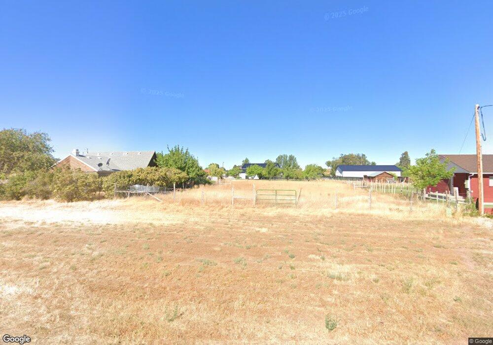
90 S 200 W Kanosh, UT 84637
Estimated Value: $250,000 - $410,000
Studio
--
Bath
--
Sq Ft
74,923
Sq Ft Lot
About This Home
This home is located at 90 S 200 W, Kanosh, UT 84637 and is currently estimated at $309,703. 90 S 200 W is a home.
Ownership History
Date
Name
Owned For
Owner Type
Purchase Details
Closed on
Sep 14, 2022
Current Estimated Value
Purchase Details
Closed on
Mar 22, 2022
Sold by
Leatham Eben R and Leatham Crystal
Bought by
Judd Bradley and Judd Alicia
Home Financials for this Owner
Home Financials are based on the most recent Mortgage that was taken out on this home.
Original Mortgage
$348,000
Interest Rate
3.69%
Mortgage Type
New Conventional
Purchase Details
Closed on
Sep 6, 2017
Home Financials for this Owner
Home Financials are based on the most recent Mortgage that was taken out on this home.
Original Mortgage
$124,000
Interest Rate
3.92%
Mortgage Type
New Conventional
Purchase Details
Closed on
Sep 1, 2017
Home Financials for this Owner
Home Financials are based on the most recent Mortgage that was taken out on this home.
Original Mortgage
$124,000
Interest Rate
3.92%
Mortgage Type
New Conventional
Purchase Details
Closed on
Jan 27, 2014
Purchase Details
Closed on
Jun 20, 2013
Create a Home Valuation Report for This Property
The Home Valuation Report is an in-depth analysis detailing your home's value as well as a comparison with similar homes in the area
Purchase History
| Date | Buyer | Sale Price | Title Company |
|---|---|---|---|
| -- | -- | -- | |
| Judd Bradley | -- | First American Title | |
| -- | -- | First American Title | |
| -- | -- | -- | |
| -- | -- | -- | |
| -- | -- | -- |
Source: Public Records
Mortgage History
| Date | Status | Borrower | Loan Amount |
|---|---|---|---|
| Previous Owner | Judd Bradley | $348,000 | |
| Previous Owner | -- | $124,000 |
Source: Public Records
Tax History
| Year | Tax Paid | Tax Assessment Tax Assessment Total Assessment is a certain percentage of the fair market value that is determined by local assessors to be the total taxable value of land and additions on the property. | Land | Improvement |
|---|---|---|---|---|
| 2025 | $55 | $192,686 | $45,700 | $146,986 |
| 2024 | $55 | $219,723 | $56,499 | $163,224 |
| 2023 | $2,000 | $219,723 | $56,499 | $163,224 |
| 2022 | $1,392 | $130,731 | $45,198 | $85,533 |
| 2021 | $1,378 | $124,837 | $39,304 | $85,533 |
| 2020 | $1,204 | $110,152 | $35,731 | $74,421 |
| 2019 | $1,089 | $100,129 | $32,780 | $67,349 |
| 2018 | $1,031 | $97,149 | $29,800 | $67,349 |
| 2017 | $1,078 | $97,149 | $29,800 | $67,349 |
| 2016 | $917 | $86,258 | $22,350 | $63,908 |
| 2015 | $918 | $86,258 | $22,350 | $63,908 |
| 2014 | -- | $86,258 | $22,350 | $63,908 |
| 2013 | -- | $86,258 | $22,350 | $63,908 |
Source: Public Records
Map
Nearby Homes
- 115 W 200 S
- 58 E 300 South St
- 135 E 200 N
- 8610 S Highway 91
- Parcel # 8816
- 145 N 200 E
- 80 W 470 N
- 50 N 100 Rd E
- 0 Tbd Black Rock Rd Unit LotWP001
- 1565 W Sunflower Ln Unit 3
- 1615 W Sunflower Ln
- 1615 W Sunflower Ln Unit 4
- 1565 W Sunflower Ln
- 2000 N West Frontage I-15
- 1100 S 725 Rd W
- 310 S 500 West Rd
- 465 S 100 W
- 760 E 700 St S
- 155 E 500 St S
- 157 E 500 South St
Your Personal Tour Guide
Ask me questions while you tour the home.