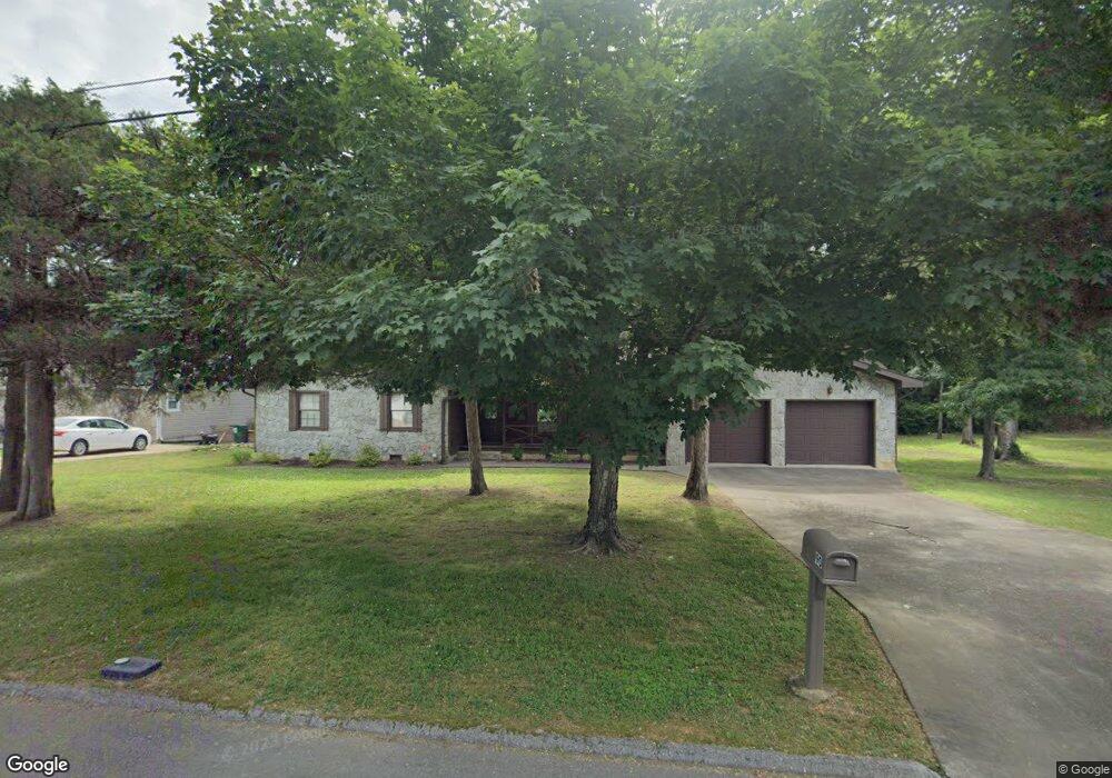
90 S Glade Rd Fort Oglethorpe, GA 30742
Estimated Value: $310,000 - $393,000
--
Bed
2
Baths
2,054
Sq Ft
$164/Sq Ft
Est. Value
About This Home
This home is located at 90 S Glade Rd, Fort Oglethorpe, GA 30742 and is currently estimated at $336,779, approximately $163 per square foot. 90 S Glade Rd is a home located in Catoosa County with nearby schools including Battlefield Primary School, Battlefield Elementary School, and Lakeview Middle School.
Ownership History
Date
Name
Owned For
Owner Type
Purchase Details
Closed on
Nov 17, 2023
Sold by
James Adna
Bought by
Frantz Brynna and Frantz Stephen
Current Estimated Value
Purchase Details
Closed on
Sep 18, 2023
Sold by
Loggins Eric
Bought by
James Adna
Purchase Details
Closed on
Oct 28, 2021
Sold by
James Adna D
Bought by
Loggins Eric and Underwood Audra
Purchase Details
Closed on
Sep 5, 2006
Sold by
James Roy L Adna D
Bought by
James Adna
Purchase Details
Closed on
Sep 8, 1993
Bought by
James Adna D
Create a Home Valuation Report for This Property
The Home Valuation Report is an in-depth analysis detailing your home's value as well as a comparison with similar homes in the area
Home Values in the Area
Average Home Value in this Area
Purchase History
| Date | Buyer | Sale Price | Title Company |
|---|---|---|---|
| Frantz Brynna | $305,000 | -- | |
| James Adna | -- | -- | |
| Loggins Eric | -- | -- | |
| James Adna | -- | -- | |
| James Adna D | $87,800 | -- |
Source: Public Records
Tax History Compared to Growth
Tax History
| Year | Tax Paid | Tax Assessment Tax Assessment Total Assessment is a certain percentage of the fair market value that is determined by local assessors to be the total taxable value of land and additions on the property. | Land | Improvement |
|---|---|---|---|---|
| 2024 | $3,117 | $137,767 | $9,180 | $128,587 |
| 2023 | $1,728 | $94,012 | $9,180 | $84,832 |
| 2022 | $1,949 | $72,060 | $9,180 | $62,880 |
| 2021 | $1,847 | $72,060 | $9,180 | $62,880 |
| 2020 | $1,845 | $62,495 | $9,180 | $53,315 |
| 2019 | $1,526 | $62,495 | $9,180 | $53,315 |
| 2018 | $1,811 | $57,792 | $8,976 | $48,816 |
| 2017 | $1,674 | $57,096 | $8,976 | $48,120 |
| 2016 | $1,623 | $53,208 | $8,976 | $44,232 |
| 2015 | -- | $53,208 | $8,976 | $44,232 |
| 2014 | -- | $53,208 | $8,976 | $44,232 |
| 2013 | -- | $53,208 | $8,976 | $44,232 |
Source: Public Records
Map
Nearby Homes
- 64 Stovall St
- 52 S Glade Rd
- 84 Elaine Cir
- 99 Battlewood Dr
- 59 Gattis Dr
- 1305 Park Forrest Dr
- 0 Battlefield Pkwy Unit 129870
- 6 Rocky Ford Rd
- 15 Walker Ave
- 614 Lakeshore Cove Dr Unit 19
- 614 Lakeshore Cove Dr
- 38 Phillips Dr
- 631 Lakeshore Cove Dr
- 325 Mockingbird Ln
- 144 Ridgelake Cir
- 39 Rock Haven Ln
- 136 Spinnaker Dr
- 490 Lakeshore Cove Dr Unit 10
- 490 Lakeshore Cove Dr
- 300 Dogwood Ln