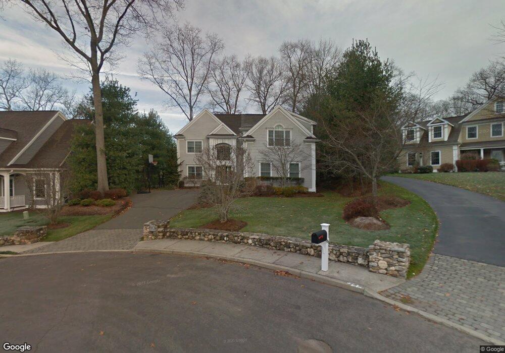
90 Sconset Dr Fairfield, CT 06824
University NeighborhoodEstimated Value: $1,593,639 - $1,793,000
4
Beds
5
Baths
2,986
Sq Ft
$562/Sq Ft
Est. Value
About This Home
This home is located at 90 Sconset Dr, Fairfield, CT 06824 and is currently estimated at $1,678,910, approximately $562 per square foot. 90 Sconset Dr is a home located in Fairfield County with nearby schools including Riverfield Elementary School, Roger Ludlowe Middle School, and Fairfield Ludlowe High School.
Ownership History
Date
Name
Owned For
Owner Type
Purchase Details
Closed on
Aug 23, 2006
Sold by
Mullett Mark and Smith-Mullet Sabath
Bought by
Dammerman Patricia A
Current Estimated Value
Create a Home Valuation Report for This Property
The Home Valuation Report is an in-depth analysis detailing your home's value as well as a comparison with similar homes in the area
Home Values in the Area
Average Home Value in this Area
Purchase History
| Date | Buyer | Sale Price | Title Company |
|---|---|---|---|
| Dammerman Patricia A | $1,220,000 | -- | |
| Dammerman Patricia A | $1,220,000 | -- |
Source: Public Records
Mortgage History
| Date | Status | Borrower | Loan Amount |
|---|---|---|---|
| Open | Dammerman Patricia A | $187,507 |
Source: Public Records
Tax History Compared to Growth
Tax History
| Year | Tax Paid | Tax Assessment Tax Assessment Total Assessment is a certain percentage of the fair market value that is determined by local assessors to be the total taxable value of land and additions on the property. | Land | Improvement |
|---|---|---|---|---|
| 2025 | $19,319 | $680,470 | $339,850 | $340,620 |
| 2024 | $18,985 | $680,470 | $339,850 | $340,620 |
| 2023 | $18,720 | $680,470 | $339,850 | $340,620 |
| 2022 | $18,536 | $680,470 | $339,850 | $340,620 |
| 2021 | $18,359 | $680,470 | $339,850 | $340,620 |
| 2020 | $19,895 | $742,630 | $310,380 | $432,250 |
| 2019 | $19,895 | $742,630 | $310,380 | $432,250 |
| 2018 | $19,576 | $742,630 | $310,380 | $432,250 |
| 2017 | $19,175 | $742,630 | $310,380 | $432,250 |
| 2016 | $18,900 | $742,630 | $310,380 | $432,250 |
| 2015 | $17,469 | $704,690 | $272,300 | $432,390 |
| 2014 | $17,194 | $704,690 | $272,300 | $432,390 |
Source: Public Records
Map
Nearby Homes
- 105 Charter Oak Rd
- 44 Deer Run Rd
- 232 Pell Meadow Dr
- 168 Wormwood Rd
- 20 Ermine St
- 360 Duck Farm Rd
- 33 Middlebrook Place
- 133 Green Acre Ln
- 15 Barton Rd
- 338 Orchard Hill Ln
- 254 Sherwood Farm Rd
- 56 Drake Ln
- 647 Bronson Rd
- 38 Edge Hill Rd
- 122 Colony St
- 25 Millspaugh Dr
- 478 Crestwood Rd
- 45 Robin Cir
- 245 Unquowa Rd Unit 34
- 245 Unquowa Rd Unit 11
- 76 Sconset Dr
- 96 Sconset Dr
- 94 Matilda Place
- 106 Matilda Place
- 60 Sconset Dr
- 112 Matilda Place
- 75 Sconset Dr
- 89 Sconset Dr
- 93 Sconset Dr
- 55 Sconset Dr
- 1161 Round Hill Rd
- 44 Sconset Dr
- 103 Matilda Place
- 41 Sconset Dr
- 347 Taunton Rd
- 1314 Mill Plain Rd
- 25 Sconset Dr
- 1320 Mill Plain Rd
- 69 Round Hill Dr
- 12 Sconset Dr