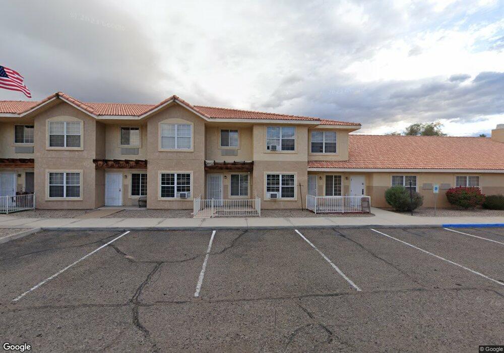
90 Smoketree Ave S Lake Havasu City, AZ 86403
Estimated Value: $33,701,260
--
Bed
--
Bath
4,176
Sq Ft
$8,070/Sq Ft
Est. Value
About This Home
This home is located at 90 Smoketree Ave S, Lake Havasu City, AZ 86403 and is currently estimated at $33,701,260, approximately $8,070 per square foot. 90 Smoketree Ave S is a home located in Mohave County with nearby schools including Smoketree Elementary School, Thunderbolt Middle School, and Lake Havasu High School.
Ownership History
Date
Name
Owned For
Owner Type
Purchase Details
Closed on
Dec 3, 2014
Sold by
Lake Havasu Ventures Llc
Bought by
Vtr Lake Havasu Assisted Living Llc
Current Estimated Value
Purchase Details
Closed on
Jun 7, 2012
Sold by
Health Care Reit Inc
Bought by
Lake Havasu Ventures Llc
Create a Home Valuation Report for This Property
The Home Valuation Report is an in-depth analysis detailing your home's value as well as a comparison with similar homes in the area
Home Values in the Area
Average Home Value in this Area
Purchase History
| Date | Buyer | Sale Price | Title Company |
|---|---|---|---|
| Vtr Lake Havasu Assisted Living Llc | $15,300,000 | None Available | |
| Lake Havasu Ventures Llc | $7,469,592 | None Available |
Source: Public Records
Mortgage History
| Date | Status | Borrower | Loan Amount |
|---|---|---|---|
| Closed | Lake Havasu Ventures Llc | $0 |
Source: Public Records
Tax History Compared to Growth
Tax History
| Year | Tax Paid | Tax Assessment Tax Assessment Total Assessment is a certain percentage of the fair market value that is determined by local assessors to be the total taxable value of land and additions on the property. | Land | Improvement |
|---|---|---|---|---|
| 2026 | $16,836 | -- | -- | -- |
| 2025 | $34,125 | $1,688,388 | $0 | $0 |
| 2024 | $34,125 | $1,332,608 | $0 | $0 |
| 2023 | $34,125 | $1,026,267 | $0 | $0 |
| 2022 | $32,657 | $991,954 | $0 | $0 |
| 2021 | $34,201 | $752,380 | $0 | $0 |
| 2019 | $32,402 | $472,989 | $0 | $0 |
| 2018 | $31,242 | $414,646 | $0 | $0 |
| 2017 | $30,922 | $358,425 | $0 | $0 |
| 2016 | $27,839 | $329,623 | $0 | $0 |
| 2015 | $26,598 | $274,464 | $0 | $0 |
Source: Public Records
Map
Nearby Homes
- 1939 Pine Ln
- 1962 Cliffrose Dr
- 1926 Swanson Ave
- 72 Mariposa Dr Unit D
- 2042 Swanson Ave Unit A
- 2042 Swanson Ave Unit H
- 1910 Swanson Ave Unit A22
- 1910 Swanson Ave Unit B11
- 1910 Swanson Ave Unit B19
- 160 Aspen Dr
- 190 Aspen Dr
- 211 Columbine Dr
- 2094 Mesquite Ave Unit 113
- 2094 Mesquite Ave Unit 126
- 1806 Swanson Ave Unit 205
- 1806 Swanson Ave Unit 103
- 1806 Swanson Ave Unit 226
- 1806 Swanson Ave Unit 108
- 1958 Montana Vista Unit D
- 2080 Swanson Ave Unit F
- 1851 Magnolia Dr
- 2010 Swanson Ave Unit 39
- 2010 Swanson Ave
- 92 Smoketree Ave S Unit 100-102
- 92 Smoketree Ave S
- 1920 Magnolia Dr
- 86 Smoketree Ave S Unit 102
- 86 Smoketree Ave S Unit 104
- 86 Smoketree Ave S
- 1930 Magnolia Dr
- 1910 Magnolia Dr Unit A
- 1910 Magnolia Dr
- 1940 Magnolia Dr
- 2011 Swanson Ave
- 2007 Swanson Ave
- 2007 Swanson Ave
- 1947 Pine Ln
- 1986 Swanson Ave
- 1890 Magnolia Dr
- 112 Smoketree Ave S