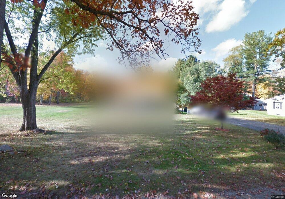
90 Sylvan Rd Uxbridge, MA 01569
Estimated Value: $440,000 - $502,000
3
Beds
1
Bath
1,500
Sq Ft
$312/Sq Ft
Est. Value
About This Home
This home is located at 90 Sylvan Rd, Uxbridge, MA 01569 and is currently estimated at $468,121, approximately $312 per square foot. 90 Sylvan Rd is a home located in Worcester County with nearby schools including Uxbridge High School, Whitinsville Christian School, and Our Lady of the Valley Regional School.
Ownership History
Date
Name
Owned For
Owner Type
Purchase Details
Closed on
Jul 25, 2023
Sold by
Hoenig Richard D and Hoenig Pamela J
Bought by
Hoenig Irt and Hoenig
Current Estimated Value
Purchase Details
Closed on
May 13, 1967
Bought by
Hoenig Richard D and Hoenig Pamela J
Create a Home Valuation Report for This Property
The Home Valuation Report is an in-depth analysis detailing your home's value as well as a comparison with similar homes in the area
Home Values in the Area
Average Home Value in this Area
Purchase History
| Date | Buyer | Sale Price | Title Company |
|---|---|---|---|
| Hoenig Irt | -- | None Available | |
| Hoenig Irt | -- | None Available | |
| Hoenig Irt | -- | None Available | |
| Hoenig Richard D | -- | -- |
Source: Public Records
Mortgage History
| Date | Status | Borrower | Loan Amount |
|---|---|---|---|
| Previous Owner | Hoenig Richard D | $29,000 | |
| Previous Owner | Hoenig Richard D | $70,000 | |
| Previous Owner | Hoenig Richard D | $10,000 |
Source: Public Records
Tax History Compared to Growth
Tax History
| Year | Tax Paid | Tax Assessment Tax Assessment Total Assessment is a certain percentage of the fair market value that is determined by local assessors to be the total taxable value of land and additions on the property. | Land | Improvement |
|---|---|---|---|---|
| 2025 | $51 | $390,100 | $172,200 | $217,900 |
| 2024 | $4,815 | $372,700 | $163,500 | $209,200 |
| 2023 | $4,545 | $325,800 | $141,200 | $184,600 |
| 2022 | $4,299 | $283,600 | $123,800 | $159,800 |
| 2021 | $4,338 | $274,200 | $121,200 | $153,000 |
| 2020 | $4,224 | $252,300 | $119,400 | $132,900 |
| 2019 | $4,244 | $244,600 | $119,400 | $125,200 |
| 2018 | $3,954 | $230,300 | $119,400 | $110,900 |
| 2017 | $3,752 | $221,200 | $109,600 | $111,600 |
| 2016 | $3,641 | $207,200 | $104,400 | $102,800 |
| 2015 | $3,569 | $205,100 | $104,400 | $100,700 |
Source: Public Records
Map
Nearby Homes
- 99 Country Club Dr
- 235 Rivulet St
- 0 Homestead Ave
- 129 Elm St Unit Lot 7
- 94 Heritage Dr Unit 94
- 7 Jefferson Ct Unit 7
- 35 Highland Park Unit 35
- 128 Linwood Ave
- 9 Banning Dr
- 36 Elm St
- 307 N Main St
- 18 East St Unit 24
- 22 Bayliss Way
- 26 Bayliss Way
- 3 Bayliss Way
- 0 Louis St
- 60 Tyler Dr
- 50 Carrington Ln
- 3 Strathmore Shire Unit A
- 75 Lake St