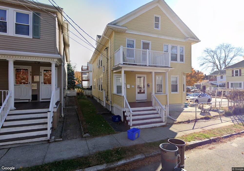
90 Thorndike St Unit 2 Arlington, MA 02474
East Arlington NeighborhoodEstimated Value: $1,317,000 - $1,408,403
3
Beds
1
Bath
1,100
Sq Ft
$1,223/Sq Ft
Est. Value
About This Home
This home is located at 90 Thorndike St Unit 2, Arlington, MA 02474 and is currently estimated at $1,345,351, approximately $1,223 per square foot. 90 Thorndike St Unit 2 is a home located in Middlesex County with nearby schools including Hardy Elementary School, Ottoson Middle School, and Arlington High School.
Ownership History
Date
Name
Owned For
Owner Type
Purchase Details
Closed on
Mar 5, 2015
Sold by
Egan Richard and Egan-Blau Patricia
Bought by
Andersen Patricia E and Egan Richard B
Current Estimated Value
Purchase Details
Closed on
May 22, 2006
Sold by
Moyer Edward J
Bought by
Moyer Edward J and Moyer Elisabeth A
Create a Home Valuation Report for This Property
The Home Valuation Report is an in-depth analysis detailing your home's value as well as a comparison with similar homes in the area
Home Values in the Area
Average Home Value in this Area
Purchase History
| Date | Buyer | Sale Price | Title Company |
|---|---|---|---|
| Andersen Patricia E | $160,000 | -- | |
| Andersen Patricia E | $160,000 | -- | |
| Moyer Edward J | -- | -- | |
| Moyer Edward J | -- | -- |
Source: Public Records
Tax History Compared to Growth
Tax History
| Year | Tax Paid | Tax Assessment Tax Assessment Total Assessment is a certain percentage of the fair market value that is determined by local assessors to be the total taxable value of land and additions on the property. | Land | Improvement |
|---|---|---|---|---|
| 2025 | $12,408 | $1,152,100 | $558,600 | $593,500 |
| 2024 | $11,364 | $1,073,100 | $531,700 | $541,400 |
| 2023 | $11,514 | $1,027,100 | $445,800 | $581,300 |
| 2022 | $11,486 | $1,005,800 | $429,700 | $576,100 |
| 2021 | $11,109 | $979,600 | $429,700 | $549,900 |
| 2020 | $10,835 | $979,700 | $429,700 | $550,000 |
| 2019 | $9,675 | $859,200 | $456,500 | $402,700 |
| 2018 | $2,007 | $735,700 | $333,000 | $402,700 |
| 2017 | $8,385 | $667,600 | $290,000 | $377,600 |
| 2016 | $7,314 | $571,400 | $247,100 | $324,300 |
| 2015 | $7,183 | $530,100 | $241,700 | $288,400 |
Source: Public Records
Map
Nearby Homes
- 128 Thorndike St Unit 2
- 137-139 Thorndike St Unit 2
- 3 Seagrave Rd
- 23 Brookford St
- 23 Brookford St Unit 2
- 23 Brookford St Unit 1
- 112 Jackson St
- 19 Cottage Park Ave
- 215 Massachusetts Ave Unit 19 (34)
- 127 Harvey St
- 127 Harvey St Unit 127
- 230 Massachusetts Ave Unit 6
- 124 Jackson St
- 49 Clifton St
- 69 Harvey St Unit 1
- 97 Elmwood St Unit 313
- 97 Elmwood St Unit 110
- 97 Elmwood St Unit 310
- 31 Mott St Unit 31A
- 57 Garrison Ave
- 90 Thorndike St Unit 92
- 86 Thorndike St Unit 88
- 15 Herbert Rd Unit 17
- 15 Herbert Rd
- 17 Herbert Rd
- 17 Herbert Rd Unit 2
- 15 Herbert Rd Unit 1
- 100 Thorndike St
- 91 Thorndike St Unit 93
- 91 Thorndike St Unit 1
- 63 Fairmont St Unit 65
- 87 Thorndike St Unit 89
- 89 Thorndike St
- 67 Fairmont St Unit 69
- 69 Fairmont St Unit 1
- 80 Thorndike St
- 78 Thorndike St
- 85 Thorndike St
- 83 Thorndike St
- 85 Thorndike St Unit 85