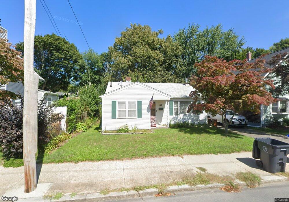
90 Turner Ave Riverside, RI 02915
Riverside NeighborhoodEstimated Value: $311,000 - $408,000
3
Beds
1
Bath
924
Sq Ft
$386/Sq Ft
Est. Value
About This Home
This home is located at 90 Turner Ave, Riverside, RI 02915 and is currently estimated at $356,724, approximately $386 per square foot. 90 Turner Ave is a home located in Providence County with nearby schools including East Providence High School, St Mary Academy-Bay View, and St Luke Elementary School.
Ownership History
Date
Name
Owned For
Owner Type
Purchase Details
Closed on
Feb 5, 2015
Sold by
Feiro Susan L
Bought by
Feiro Scott B
Current Estimated Value
Purchase Details
Closed on
Mar 25, 2013
Sold by
Feiro Duane H
Bought by
Feiro Carolyn and Fiero Duane H
Purchase Details
Closed on
Dec 15, 1994
Sold by
Mahler Mary E
Bought by
Feiro Duane H
Home Financials for this Owner
Home Financials are based on the most recent Mortgage that was taken out on this home.
Original Mortgage
$91,650
Interest Rate
9.03%
Mortgage Type
Purchase Money Mortgage
Create a Home Valuation Report for This Property
The Home Valuation Report is an in-depth analysis detailing your home's value as well as a comparison with similar homes in the area
Home Values in the Area
Average Home Value in this Area
Purchase History
| Date | Buyer | Sale Price | Title Company |
|---|---|---|---|
| Feiro Scott B | -- | -- | |
| Feiro Carolyn | -- | -- | |
| Feiro Duane H | $89,000 | -- | |
| Feiro Scott B | -- | -- | |
| Feiro Carolyn | -- | -- | |
| Feiro Duane H | $89,000 | -- |
Source: Public Records
Mortgage History
| Date | Status | Borrower | Loan Amount |
|---|---|---|---|
| Previous Owner | Feiro Duane H | $123,650 | |
| Previous Owner | Feiro Duane H | $95,970 | |
| Previous Owner | Feiro Duane H | $91,650 |
Source: Public Records
Tax History
| Year | Tax Paid | Tax Assessment Tax Assessment Total Assessment is a certain percentage of the fair market value that is determined by local assessors to be the total taxable value of land and additions on the property. | Land | Improvement |
|---|---|---|---|---|
| 2025 | $4,134 | $316,300 | $85,500 | $230,800 |
| 2024 | $4,058 | $264,700 | $71,300 | $193,400 |
| 2023 | $3,907 | $264,700 | $71,300 | $193,400 |
| 2022 | $3,740 | $171,100 | $44,000 | $127,100 |
| 2021 | $3,679 | $171,100 | $44,000 | $127,100 |
| 2020 | $3,523 | $171,100 | $44,000 | $127,100 |
| 2019 | $3,425 | $171,100 | $44,000 | $127,100 |
| 2018 | $3,356 | $146,700 | $47,100 | $99,600 |
| 2017 | $3,282 | $146,700 | $47,100 | $99,600 |
| 2016 | $3,266 | $146,700 | $47,100 | $99,600 |
| 2015 | $3,144 | $137,000 | $46,100 | $90,900 |
| 2014 | $3,144 | $137,000 | $46,100 | $90,900 |
Source: Public Records
Map
Nearby Homes
- 103 Burnside Ave
- 25 Arnold St
- 151 Willett Ave Unit 2
- 33 Pine St Unit 35
- 56 Knowlton St
- 14 Benedict St
- 14 Winthrop St
- 43 Bullocks Point Ave Unit 4A
- 25 Bullocks Point Ave Unit 5C
- 33 Bullocks Point Ave Unit 5C
- 6 Fuller Ave
- 41 White Ave
- 15 Claire St
- 85 Hilton Ave
- 0 Carousel Dr
- 85 Hospital Rd
- 916 Bullocks Pt Ave
- 6 Hazelton Rd
- 9 Mystic Ave
- 45 Washington Rd
- 86 Turner Ave
- 94 Turner Ave
- 99 Burnside Ave
- 105 Burnside Ave
- 78 Turner Ave
- 95 Turner Ave
- 99 Turner Ave
- 80 Arnold St
- 83 Turner Ave
- 102 Turner Ave
- 101 Turner Ave
- 78 Arnold St
- 79 Turner Ave
- 115 Burnside Ave
- 96 Burnside Ave
- 100 Burnside Ave
- 125 Turner Ave Unit 129
- 110 Turner Ave
- 74 Arnold St
- 74 Turner Ave
Your Personal Tour Guide
Ask me questions while you tour the home.