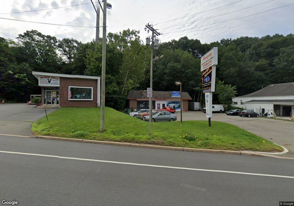
90 Us Highway 46 Rockaway, NJ 07866
Estimated Value: $702,613
--
Bed
--
Bath
3,360
Sq Ft
$209/Sq Ft
Est. Value
About This Home
This home is located at 90 Us Highway 46, Rockaway, NJ 07866 and is currently estimated at $702,613, approximately $209 per square foot. 90 Us Highway 46 is a home with nearby schools including Lincoln Elementary School, Thomas Jefferson Middle School, and Divine Mercy Academy.
Ownership History
Date
Name
Owned For
Owner Type
Purchase Details
Closed on
May 8, 2024
Sold by
90 Route 46 East Llc
Bought by
C & C Capital Investors Llc
Current Estimated Value
Home Financials for this Owner
Home Financials are based on the most recent Mortgage that was taken out on this home.
Original Mortgage
$487,500
Outstanding Balance
$480,546
Interest Rate
6.79%
Mortgage Type
New Conventional
Estimated Equity
$222,067
Purchase Details
Closed on
Dec 12, 2003
Sold by
Laforge Frank La
Bought by
90 Route 46 East Llc
Create a Home Valuation Report for This Property
The Home Valuation Report is an in-depth analysis detailing your home's value as well as a comparison with similar homes in the area
Home Values in the Area
Average Home Value in this Area
Purchase History
| Date | Buyer | Sale Price | Title Company |
|---|---|---|---|
| C & C Capital Investors Llc | $650,000 | Land Title | |
| 90 Route 46 East Llc | -- | None Available |
Source: Public Records
Mortgage History
| Date | Status | Borrower | Loan Amount |
|---|---|---|---|
| Open | C & C Capital Investors Llc | $487,500 |
Source: Public Records
Tax History Compared to Growth
Tax History
| Year | Tax Paid | Tax Assessment Tax Assessment Total Assessment is a certain percentage of the fair market value that is determined by local assessors to be the total taxable value of land and additions on the property. | Land | Improvement |
|---|---|---|---|---|
| 2025 | $15,604 | $469,300 | $321,300 | $148,000 |
| 2024 | $15,252 | $469,300 | $321,300 | $148,000 |
| 2023 | $15,252 | $469,300 | $321,300 | $148,000 |
| 2022 | $15,027 | $469,300 | $321,300 | $148,000 |
| 2021 | $14,492 | $469,300 | $321,300 | $148,000 |
| 2020 | $14,764 | $469,300 | $321,300 | $148,000 |
| 2019 | $14,492 | $469,300 | $321,300 | $148,000 |
| 2018 | $14,347 | $469,300 | $321,300 | $148,000 |
| 2017 | $13,835 | $469,300 | $321,300 | $148,000 |
| 2016 | $13,347 | $469,300 | $321,300 | $148,000 |
| 2015 | $13,159 | $469,300 | $321,300 | $148,000 |
| 2014 | $12,685 | $469,300 | $321,300 | $148,000 |
Source: Public Records
Map
Nearby Homes
- 39 van Duyne Ave
- 1 Fischer Trail
- 64 Franklin Ave
- 138 Franklin Ave
- 49 Seneca Trail
- 27 Shawnee Trail
- 22 Mountain Rd
- 6 Shawnee Trail
- 232 Riverside Dr
- 128 Franklin Rd
- 2 Church St
- 11 Huron Place
- 49-51 Wall St
- 69 Sunset Trail
- 21 Easton Ave
- 13 George St
- 19 Savage Rd Unit 3
- 19 Savage Rd Unit U19C3
- 19 Savage Rd
- 19 Savage Rd Unit 5
- 41 van Duyne Ave
- 43 van Duyne Ave
- 1 Summit St
- 2 Summit St
- 37 van Duyne Ave
- 1 Hillside Ave
- 1 Hillside Ave
- 28 van Duyne Ave
- 4 Orchard St
- 35 van Duyne Ave
- 20 Jefferson St
- 33 van Duyne Ave
- 26 van Duyne Ave
- 68 U S 46 Unit 2
- 68 Us Highway 46
- 31 van Duyne Ave
- 16 Orchard St
- 24 van Duyne Ave
- 27 van Duyne Ave
- 43 Hillside Ave