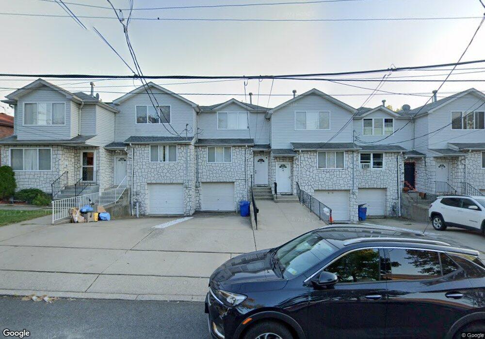
90 Wenlock St Staten Island, NY 10303
Mariners Harbor NeighborhoodEstimated Value: $490,000 - $642,000
2
Beds
2
Baths
1,200
Sq Ft
$445/Sq Ft
Est. Value
About This Home
This home is located at 90 Wenlock St, Staten Island, NY 10303 and is currently estimated at $533,700, approximately $444 per square foot. 90 Wenlock St is a home located in Richmond County with nearby schools including P.S. 22 Graniteville, I.S. 51 Edwin Markham, and Port Richmond High School.
Ownership History
Date
Name
Owned For
Owner Type
Purchase Details
Closed on
Jul 9, 2004
Sold by
Perosi Marjorie
Bought by
Anglada Angel and Anglada Ana
Current Estimated Value
Home Financials for this Owner
Home Financials are based on the most recent Mortgage that was taken out on this home.
Original Mortgage
$229,900
Interest Rate
6.17%
Mortgage Type
Purchase Money Mortgage
Create a Home Valuation Report for This Property
The Home Valuation Report is an in-depth analysis detailing your home's value as well as a comparison with similar homes in the area
Home Values in the Area
Average Home Value in this Area
Purchase History
| Date | Buyer | Sale Price | Title Company |
|---|---|---|---|
| Anglada Angel | $263,539 | -- |
Source: Public Records
Mortgage History
| Date | Status | Borrower | Loan Amount |
|---|---|---|---|
| Previous Owner | Anglada Angel | $229,900 |
Source: Public Records
Tax History Compared to Growth
Tax History
| Year | Tax Paid | Tax Assessment Tax Assessment Total Assessment is a certain percentage of the fair market value that is determined by local assessors to be the total taxable value of land and additions on the property. | Land | Improvement |
|---|---|---|---|---|
| 2025 | $4,387 | $28,380 | $4,430 | $23,950 |
| 2024 | $4,399 | $28,740 | $4,173 | $24,567 |
| 2023 | $4,424 | $23,184 | $3,940 | $19,244 |
| 2022 | $4,267 | $27,480 | $5,160 | $22,320 |
| 2021 | $4,226 | $25,080 | $5,160 | $19,920 |
| 2020 | $4,002 | $22,380 | $5,160 | $17,220 |
| 2019 | $3,759 | $21,840 | $5,160 | $16,680 |
| 2018 | $3,641 | $19,320 | $5,160 | $14,160 |
| 2017 | $3,576 | $19,011 | $5,157 | $13,854 |
| 2016 | $3,276 | $17,935 | $4,805 | $13,130 |
| 2015 | $2,792 | $16,920 | $4,320 | $12,600 |
| 2014 | $2,792 | $16,140 | $4,320 | $11,820 |
Source: Public Records
Map
Nearby Homes
- 339 Lake Ave
- 73 Westbrook Ave
- 335 Simonson Ave
- 291 Simonson Ave
- 186 Dixon Ave
- 336 van Name Ave
- 1816 Forest Ave
- 317 Van Pelt Ave
- 240 Granite Ave Unit B
- 257 Maple Pkwy
- 964 Richmond Ave
- 120 Dixon Ave
- 331 Pulaski Ave
- 329 Pulaski Ave
- 327 Pulaski Ave
- 325 Pulaski Ave
- 201 van Name Ave
- 209 Simonson Ave
- 364 Walker St
- 322 Morningstar Rd