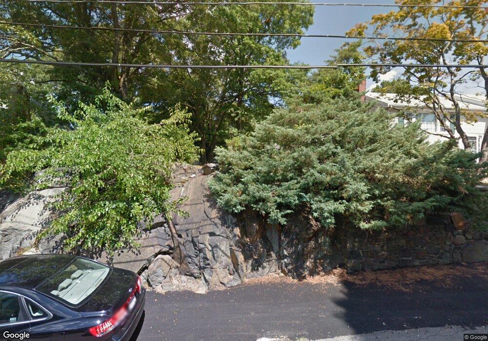
90 Wesson Ave Quincy, MA 02169
Estimated Value: $642,000 - $721,468
3
Beds
2
Baths
1,248
Sq Ft
$547/Sq Ft
Est. Value
About This Home
This home is located at 90 Wesson Ave, Quincy, MA 02169 and is currently estimated at $683,117, approximately $547 per square foot. 90 Wesson Ave is a home located in Norfolk County with nearby schools including South West Middle School, Lincoln-Hancock Community School, and Quincy High School.
Ownership History
Date
Name
Owned For
Owner Type
Purchase Details
Closed on
May 22, 2015
Sold by
Paccioretti Joseph C
Bought by
94 Wesson Avenue Rt
Current Estimated Value
Purchase Details
Closed on
Mar 12, 1985
Bought by
Paccioretti Joseph C
Create a Home Valuation Report for This Property
The Home Valuation Report is an in-depth analysis detailing your home's value as well as a comparison with similar homes in the area
Purchase History
| Date | Buyer | Sale Price | Title Company |
|---|---|---|---|
| 94 Wesson Avenue Rt | -- | -- | |
| Paccioretti Joseph C | -- | -- |
Source: Public Records
Mortgage History
| Date | Status | Borrower | Loan Amount |
|---|---|---|---|
| Previous Owner | Paccioretti Joseph C | $21,000 |
Source: Public Records
Tax History
| Year | Tax Paid | Tax Assessment Tax Assessment Total Assessment is a certain percentage of the fair market value that is determined by local assessors to be the total taxable value of land and additions on the property. | Land | Improvement |
|---|---|---|---|---|
| 2025 | $7,606 | $659,700 | $339,000 | $320,700 |
| 2024 | $7,080 | $628,200 | $324,200 | $304,000 |
| 2023 | $6,763 | $607,600 | $310,100 | $297,500 |
| 2022 | $6,237 | $520,600 | $253,400 | $267,200 |
| 2021 | $5,950 | $490,100 | $253,400 | $236,700 |
| 2020 | $5,914 | $475,800 | $253,400 | $222,400 |
| 2019 | $5,753 | $458,400 | $246,900 | $211,500 |
| 2018 | $5,625 | $421,700 | $230,600 | $191,100 |
| 2017 | $5,546 | $391,400 | $220,900 | $170,500 |
| 2016 | $5,161 | $359,400 | $203,300 | $156,100 |
| 2015 | $5,068 | $347,100 | $193,300 | $153,800 |
| 2014 | $5,046 | $339,600 | $193,300 | $146,300 |
Source: Public Records
Map
Nearby Homes
- 36 Village Dr
- 87 Village Dr
- 9 Westford St
- 510 Willard St
- 51 Branch St Unit 2
- 25 McDonald St
- 459 Willard St Unit 303
- 21 Totman St Unit 308
- 21 Totman St Unit 205
- 21 Totman St Unit 404
- 21 Totman St Unit 309
- 21 Totman St Unit 203
- 21 Totman St Unit PH-406
- 21 Totman St Unit 301
- 21 Totman St Unit PH-405
- 21 Totman St Unit 407
- 132 Centre St
- 57 Buckley St
- 211 Copeland St
- 14 Arthur Ave
Your Personal Tour Guide
Ask me questions while you tour the home.