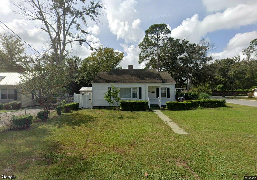
900 Ava St Waycross, GA 31501
Estimated Value: $160,000 - $179,000
3
Beds
2
Baths
1,673
Sq Ft
$100/Sq Ft
Est. Value
About This Home
This home is located at 900 Ava St, Waycross, GA 31501 and is currently estimated at $167,738, approximately $100 per square foot. 900 Ava St is a home located in Ware County with nearby schools including Williams Heights Elementary School, Waycross Middle School, and Ware County High School.
Ownership History
Date
Name
Owned For
Owner Type
Purchase Details
Closed on
Jun 1, 2021
Sold by
Peagler Virginia R
Bought by
Sallet Leola Davis
Current Estimated Value
Home Financials for this Owner
Home Financials are based on the most recent Mortgage that was taken out on this home.
Original Mortgage
$37,000
Outstanding Balance
$15,771
Interest Rate
2.9%
Mortgage Type
New Conventional
Estimated Equity
$151,967
Purchase Details
Closed on
Jun 13, 2014
Sold by
Hurst Louise K
Bought by
Peagler Virginia R
Home Financials for this Owner
Home Financials are based on the most recent Mortgage that was taken out on this home.
Original Mortgage
$44,000
Interest Rate
4.23%
Mortgage Type
New Conventional
Create a Home Valuation Report for This Property
The Home Valuation Report is an in-depth analysis detailing your home's value as well as a comparison with similar homes in the area
Purchase History
| Date | Buyer | Sale Price | Title Company |
|---|---|---|---|
| Sallet Leola Davis | $55,000 | -- | |
| Peagler Virginia R | $55,000 | -- |
Source: Public Records
Mortgage History
| Date | Status | Borrower | Loan Amount |
|---|---|---|---|
| Open | Sallet Leola Davis | $37,000 | |
| Previous Owner | Peagler Virginia R | $44,000 |
Source: Public Records
Tax History
| Year | Tax Paid | Tax Assessment Tax Assessment Total Assessment is a certain percentage of the fair market value that is determined by local assessors to be the total taxable value of land and additions on the property. | Land | Improvement |
|---|---|---|---|---|
| 2025 | $1,205 | $69,234 | $2,720 | $66,514 |
| 2024 | $1,205 | $58,724 | $2,720 | $56,004 |
| 2023 | $1,230 | $41,664 | $2,194 | $39,470 |
| 2022 | $1,374 | $41,664 | $2,194 | $39,470 |
| 2021 | $1,472 | $34,040 | $2,194 | $31,846 |
| 2020 | $1,317 | $30,215 | $2,194 | $28,021 |
| 2019 | $1,292 | $29,233 | $2,194 | $27,039 |
| 2018 | $1,279 | $28,653 | $2,194 | $26,459 |
| 2017 | $1,249 | $28,653 | $2,194 | $26,459 |
| 2016 | $1,249 | $28,653 | $2,194 | $26,459 |
| 2015 | $966 | $28,653 | $2,194 | $26,459 |
| 2014 | -- | $30,663 | $2,194 | $28,469 |
| 2013 | -- | $29,508 | $2,194 | $27,314 |
Source: Public Records
Map
Nearby Homes
- 506 Magnolia Dr
- 808 Satilla Blvd
- 511 Richmond Ave
- 713 Magnolia Dr
- 807 College St
- 902 Williams St
- 805 Baltimore Ave
- 0 Saint Marys Dr Unit (TRACT 2 0.25 ACRES)
- 800 Euclid Ave
- 707 Euclid Ave
- 808 Euclid Ave
- 0 Quiesqueya Cir Unit 7713854
- 7059 Thornbird Rd
- 1405 Grove Ave
- 1100 Atlantic Ave
- 1500 Saint Marys Dr
- 7438 Central Ave
- 418 Reed St
- 907 Euclid Ave
- 1205 Dean Dr
- 902 Ava St
- 504 Fern St
- 804 Ava St
- 904 Ava St
- 502 Fern St
- 505 Oxford St
- 600 Fern St
- 901 Clifton Grove St
- 500 Fern St
- 603 Oxford St
- 601 Fern St
- 903 Clifton Grove St
- 0 Nut Tree Farm Unit 28049
- 00 Quiesqueya Cir
- 000 Quiesqueya Cir
- 0 Riverside Medical Complex
- 802 Ava St
- 801 Ava St
- 609 Fern St
- 602 Fern St