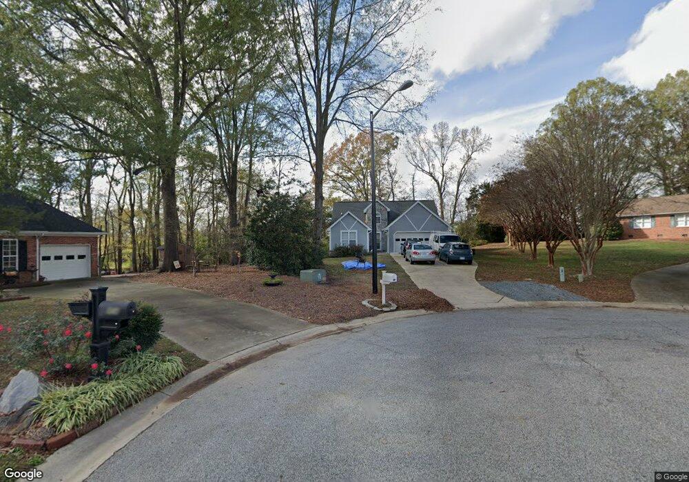
900 Cameron Ct Monroe, NC 28112
Estimated Value: $299,000 - $327,000
3
Beds
2
Baths
1,134
Sq Ft
$275/Sq Ft
Est. Value
About This Home
This home is located at 900 Cameron Ct, Monroe, NC 28112 and is currently estimated at $311,608, approximately $274 per square foot. 900 Cameron Ct is a home located in Union County with nearby schools including Walter Bickett Elementary School, Monroe Middle School, and Monroe High School.
Ownership History
Date
Name
Owned For
Owner Type
Purchase Details
Closed on
Nov 3, 2021
Sold by
Mull Adrian S
Bought by
Bradley Jeffrey M
Current Estimated Value
Purchase Details
Closed on
Nov 27, 2000
Sold by
Mull Walter S and Mull Sheila
Bought by
Mull Adrian S
Home Financials for this Owner
Home Financials are based on the most recent Mortgage that was taken out on this home.
Original Mortgage
$79,000
Interest Rate
6.12%
Mortgage Type
Balloon
Purchase Details
Closed on
Sep 20, 1996
Sold by
Mull Walters S and Wife Adrian S
Bought by
Mull Walters S and Wife Adrian S
Create a Home Valuation Report for This Property
The Home Valuation Report is an in-depth analysis detailing your home's value as well as a comparison with similar homes in the area
Purchase History
| Date | Buyer | Sale Price | Title Company |
|---|---|---|---|
| Bradley Jeffrey M | $280,000 | None Available | |
| Mull Adrian S | -- | -- | |
| Mull Walters S | $93,000 | -- |
Source: Public Records
Mortgage History
| Date | Status | Borrower | Loan Amount |
|---|---|---|---|
| Previous Owner | Mull Adrian S | $79,000 |
Source: Public Records
Tax History
| Year | Tax Paid | Tax Assessment Tax Assessment Total Assessment is a certain percentage of the fair market value that is determined by local assessors to be the total taxable value of land and additions on the property. | Land | Improvement |
|---|---|---|---|---|
| 2025 | $2,462 | $281,600 | $0 | $0 |
| 2024 | $2,107 | $193,200 | $36,600 | $156,600 |
| 2023 | $2,049 | $187,900 | $36,600 | $151,300 |
| 2022 | $2,049 | $187,900 | $36,600 | $151,300 |
| 2021 | $2,049 | $187,900 | $36,600 | $151,300 |
| 2020 | $1,594 | $118,270 | $18,970 | $99,300 |
| 2019 | $1,594 | $118,270 | $18,970 | $99,300 |
| 2018 | $729 | $118,270 | $18,970 | $99,300 |
| 2017 | $1,618 | $118,300 | $19,000 | $99,300 |
| 2016 | $1,600 | $118,270 | $18,970 | $99,300 |
| 2015 | $919 | $118,270 | $18,970 | $99,300 |
| 2014 | $1,320 | $108,190 | $21,220 | $86,970 |
Source: Public Records
Map
Nearby Homes
- 00 Lancaster Ave
- 0 Lancaster Hwy
- 0 Avery Parker Rd
- 2503 Lancaster Hwy
- 1464 Honey Trail
- 1460 Honey Trail Unit 78
- 1460 Honey Trail
- 1420 Honey Trail
- 1424 Honey Trail
- 1450 Honey Trail
- 1438 Honey Trail
- 1412 Honey Trail
- 1006 Midwood Dr
- 1421 Honey Trail
- 1427 Honey Trail
- 1427 Honey Trail Unit 242
- 1401 Honey Trail
- 0 White Oaks Cir Unit 41-44 CAR4254996
- 2502 Waverly Dr
- 1343 Honey Trail
Your Personal Tour Guide
Ask me questions while you tour the home.