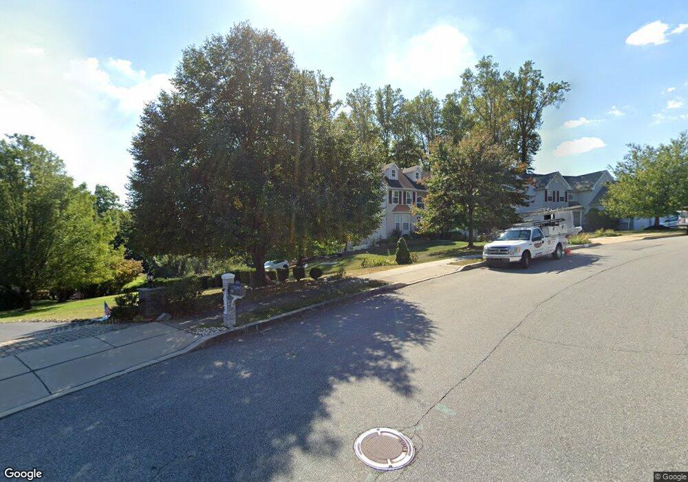
900 Cherry Tree Rd Upper Chichester, PA 19014
Upper Chichester Township NeighborhoodEstimated Value: $281,000 - $402,000
2
Beds
3
Baths
1,353
Sq Ft
$251/Sq Ft
Est. Value
About This Home
This home is located at 900 Cherry Tree Rd, Upper Chichester, PA 19014 and is currently estimated at $339,045, approximately $250 per square foot. 900 Cherry Tree Rd is a home located in Delaware County with nearby schools including Chichester Senior High School and Chester Charter School for the Arts.
Ownership History
Date
Name
Owned For
Owner Type
Purchase Details
Closed on
Apr 20, 2017
Sold by
Kaczynski Antoinette M and Estate Of George J Amato
Bought by
Kaczynski Anthony David
Current Estimated Value
Purchase Details
Closed on
Aug 13, 1970
Bought by
Amato Geo J and Amato Barbara
Create a Home Valuation Report for This Property
The Home Valuation Report is an in-depth analysis detailing your home's value as well as a comparison with similar homes in the area
Home Values in the Area
Average Home Value in this Area
Purchase History
| Date | Buyer | Sale Price | Title Company |
|---|---|---|---|
| Kaczynski Anthony David | $72,200 | None Available | |
| Amato Geo J | -- | -- |
Source: Public Records
Tax History
| Year | Tax Paid | Tax Assessment Tax Assessment Total Assessment is a certain percentage of the fair market value that is determined by local assessors to be the total taxable value of land and additions on the property. | Land | Improvement |
|---|---|---|---|---|
| 2025 | $6,628 | $199,500 | $75,370 | $124,130 |
| 2024 | $6,628 | $199,500 | $75,370 | $124,130 |
| 2023 | $6,416 | $199,500 | $75,370 | $124,130 |
| 2022 | $6,259 | $199,500 | $75,370 | $124,130 |
| 2021 | $9,334 | $199,500 | $75,370 | $124,130 |
| 2020 | $4,621 | $91,650 | $42,190 | $49,460 |
| 2019 | $4,621 | $91,650 | $42,190 | $49,460 |
| 2018 | $4,633 | $91,650 | $0 | $0 |
| 2017 | $6,500 | $129,590 | $0 | $0 |
| 2016 | $726 | $129,590 | $0 | $0 |
| 2015 | $726 | $129,590 | $0 | $0 |
| 2014 | $726 | $129,590 | $0 | $0 |
Source: Public Records
Map
Nearby Homes
- 565 Applewood Ct
- 708 Heather Ln
- 414 Dogwood Cir Unit 30
- 4104 Kates Glen
- 43 Morgan Rd
- 4423 Somerset Ln
- 70 Weathervane Rd
- 0 Apple St Unit PADE2107070
- 921 Flora Ln
- 3921 Concord Rd
- 8 Eusden Dr
- 4701 Pennell Rd Unit A12
- 4701 Pennell Rd Unit J11
- 4701 Pennell Rd Unit F7
- 4701 Pennell Rd Unit H3
- 4138 Sophia Ln
- 1335 Apple St
- 4301 Aston Mills Rd
- 112 Butt Ln
- 468 Garnet Mine Rd
- 701 Carriage Cir
- 703 Carriage Cir
- 705 Carriage Cir
- 908 Cherry Tree Rd
- 817 Cherry Tree Rd
- 707 Carriage Cir
- 504 Weir Rd
- 813 Cherry Tree Rd
- 912 Cherry Tree Rd
- 912 Cherry Tree Rd
- 709 Carriage Cir
- 904 Cherry Tree Rd
- 809 Cherry Tree Rd
- 901 Cherry Tree Rd
- 700 Carriage Cir
- 702 Carriage Cir
- 503 Weir Rd
- 704 Carriage Cir
- 916 Cherry Tree Rd
- 711 Carriage Cir
Your Personal Tour Guide
Ask me questions while you tour the home.