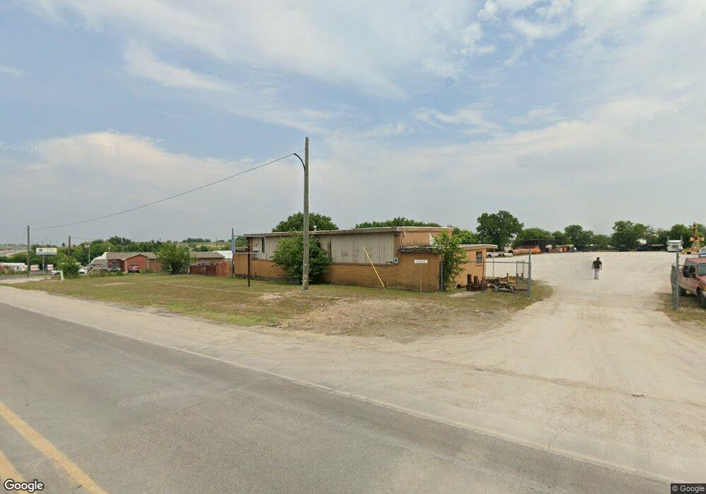
900 E Us 380 Decatur, TX 76234
Estimated Value: $371,160
--
Bed
2
Baths
2,310
Sq Ft
$161/Sq Ft
Est. Value
About This Home
This home is located at 900 E Us 380, Decatur, TX 76234 and is currently estimated at $371,160, approximately $160 per square foot. 900 E Us 380 is a home located in Wise County with nearby schools including Decatur High School and Victory Christian Academy.
Ownership History
Date
Name
Owned For
Owner Type
Purchase Details
Closed on
Dec 1, 2023
Sold by
Maxon Holdings Llc
Bought by
Maxon Properties Llc
Current Estimated Value
Home Financials for this Owner
Home Financials are based on the most recent Mortgage that was taken out on this home.
Original Mortgage
$450,000
Interest Rate
7.04%
Mortgage Type
Construction
Purchase Details
Closed on
Jul 12, 2021
Sold by
Cruz Santiago and Cruz Ninfa Edith
Bought by
Maxon Holdings Llc
Home Financials for this Owner
Home Financials are based on the most recent Mortgage that was taken out on this home.
Original Mortgage
$252,000
Interest Rate
2.9%
Mortgage Type
Credit Line Revolving
Purchase Details
Closed on
Apr 15, 2008
Sold by
Herring Charles M and Herring Nna L
Bought by
Cruz Santiago and Cruz Ninfa Edith
Purchase Details
Closed on
Mar 5, 1993
Bought by
Cruz Santiago and Cruz Ninfa
Purchase Details
Closed on
Jan 1, 1901
Bought by
Cruz Santiago and Cruz Ninfa
Create a Home Valuation Report for This Property
The Home Valuation Report is an in-depth analysis detailing your home's value as well as a comparison with similar homes in the area
Home Values in the Area
Average Home Value in this Area
Purchase History
| Date | Buyer | Sale Price | Title Company |
|---|---|---|---|
| Maxon Properties Llc | -- | Wise County Title | |
| Maxon Holdings Llc | -- | None Listed On Document | |
| Cruz Santiago | -- | -- | |
| Cruz Santiago | -- | -- | |
| Cruz Santiago | -- | -- |
Source: Public Records
Mortgage History
| Date | Status | Borrower | Loan Amount |
|---|---|---|---|
| Previous Owner | Maxon Properties Llc | $450,000 | |
| Previous Owner | Maxon Holdings Llc | $252,000 |
Source: Public Records
Tax History Compared to Growth
Tax History
| Year | Tax Paid | Tax Assessment Tax Assessment Total Assessment is a certain percentage of the fair market value that is determined by local assessors to be the total taxable value of land and additions on the property. | Land | Improvement |
|---|---|---|---|---|
| 2025 | $5,756 | $331,337 | $318,031 | $13,306 |
| 2024 | $5,756 | $316,217 | $272,598 | $43,619 |
| 2023 | $5,736 | $316,217 | $272,598 | $43,619 |
| 2022 | $6,760 | $308,688 | $272,598 | $36,090 |
| 2021 | $5,397 | $236,510 | $182,080 | $54,430 |
| 2020 | $5,547 | $236,510 | $182,080 | $54,430 |
| 2019 | $3,605 | $145,470 | $91,040 | $54,430 |
| 2018 | $2,968 | $114,800 | $62,700 | $52,100 |
| 2017 | $2,876 | $110,820 | $62,700 | $48,120 |
| 2016 | $2,876 | $110,820 | $62,700 | $48,120 |
| 2015 | -- | $110,820 | $62,700 | $48,120 |
| 2014 | -- | $111,660 | $62,700 | $48,960 |
Source: Public Records
Map
Nearby Homes
- 602 N Cates St
- TBD E Hwy 380 Hwy
- 307 E Vernon St
- 506 E Main St
- 114 Sondra Lin Blvd
- 903 N Miller St
- TBD Farm To Market 51
- 802 N Church St
- 700 N Church St
- 305 E Shoemaker St
- 1 S Martin Extension
- 604 E Collins St
- 304 Cyndilu Ln
- 407 N Lane St
- 805 Hollyn Dr
- 809 Hollyn Dr
- 813 Hollyn Dr
- 709 S Church St
- 401 S Holman St
- 502 E Collom St
- 705 N Arthur St
- 801 N Fm 51
- 704 N Arthur St
- 901 N Newark St
- 604 N Arthur St
- 1103 N Fm 51
- 608 N Newark St
- 503 N Arthur St
- 502 N Newark St
- 701 N Newark St
- 502 N Arthur St
- 404 N Newark St
- 402 N Newark St
- 403 N Newark St
- 400 N Newark St
- 400 N Newark St
- 605 N Arthur St
- 500 N Newark St
- 770 County Road 3001
- 231 Sondra Lin Blvd