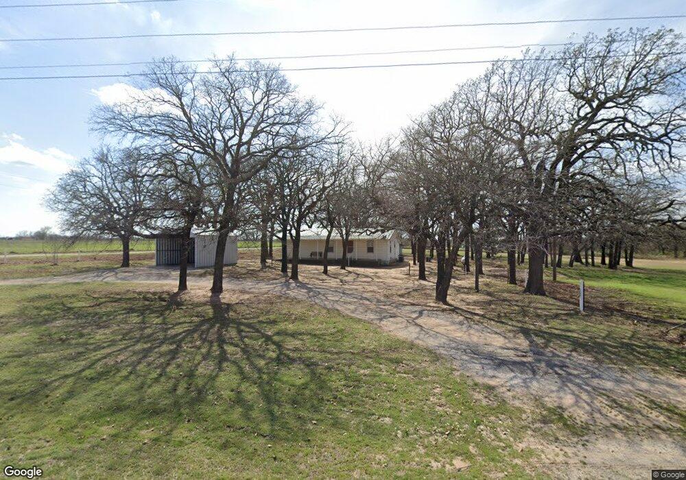
900 Fm 1189 Millsap, TX 76066
Estimated Value: $315,000 - $431,000
--
Bed
--
Bath
1,080
Sq Ft
$346/Sq Ft
Est. Value
About This Home
This home is located at 900 Fm 1189, Millsap, TX 76066 and is currently estimated at $373,486, approximately $345 per square foot. 900 Fm 1189 is a home located in Parker County with nearby schools including Brock Intermediate School, Brock Junior High School, and Brock High School.
Ownership History
Date
Name
Owned For
Owner Type
Purchase Details
Closed on
May 6, 2024
Sold by
Hudson Lula Mae and Neely Lula Mae
Bought by
Cunningham Michael Lee and Cunningham Denice Chandler
Current Estimated Value
Home Financials for this Owner
Home Financials are based on the most recent Mortgage that was taken out on this home.
Original Mortgage
$250,000
Outstanding Balance
$246,434
Interest Rate
6.79%
Mortgage Type
New Conventional
Estimated Equity
$127,052
Purchase Details
Closed on
Apr 12, 2019
Sold by
Neely Lula Mae
Bought by
Neely Douglas Leo and Ranspot Barbara Sue Neely
Purchase Details
Closed on
Mar 12, 1955
Bought by
Neely R C
Create a Home Valuation Report for This Property
The Home Valuation Report is an in-depth analysis detailing your home's value as well as a comparison with similar homes in the area
Home Values in the Area
Average Home Value in this Area
Purchase History
| Date | Buyer | Sale Price | Title Company |
|---|---|---|---|
| Cunningham Michael Lee | -- | Providence Title Company | |
| Neely Douglas Leo | -- | None Available | |
| Neely R C | -- | -- |
Source: Public Records
Mortgage History
| Date | Status | Borrower | Loan Amount |
|---|---|---|---|
| Open | Cunningham Michael Lee | $250,000 |
Source: Public Records
Tax History Compared to Growth
Tax History
| Year | Tax Paid | Tax Assessment Tax Assessment Total Assessment is a certain percentage of the fair market value that is determined by local assessors to be the total taxable value of land and additions on the property. | Land | Improvement |
|---|---|---|---|---|
| 2025 | $651 | $236,940 | $156,000 | $80,940 |
| 2024 | $651 | $190,322 | -- | -- |
| 2023 | $651 | $173,020 | $0 | $0 |
| 2022 | $3,193 | $178,140 | $114,980 | $63,160 |
| 2021 | $3,053 | $178,140 | $114,980 | $63,160 |
| 2020 | $2,814 | $132,050 | $74,990 | $57,060 |
| 2019 | $2,754 | $132,050 | $74,990 | $57,060 |
| 2018 | $2,515 | $123,260 | $53,990 | $69,270 |
| 2017 | $2,247 | $123,260 | $53,990 | $69,270 |
| 2016 | $2,043 | $88,790 | $42,750 | $46,040 |
| 2015 | $442 | $88,790 | $42,750 | $46,040 |
| 2014 | $450 | $83,460 | $41,250 | $42,210 |
Source: Public Records
Map
Nearby Homes
- 401 Brock Spur
- 169 Savannah Dr
- 181 Savannah Dr
- XXXX Wolf Hollow
- 1700 Fm 1189
- 7530 W Interstate 20
- TBD Wolf Hollow
- 4000 Luciano Dr
- 3036 Palermo Dr
- 102 Eagle Pass Ln
- TBD Grindstone Rd
- 734 Young Bend Rd
- 2007 Verona Dr
- 2004 Verona Dr
- 2041 Verona Dr
- 2026 Verona Dr
- 606 Grindstone Rd
- 2030 Verona Dr
- 2053 Verona Dr
- 2042 Verona Dr
- 740 Fm 1189
- 925 Fm 1189
- 801 Fm 1189
- 109 Savannah Dr
- 105 Savannah Dr
- 924 Fm 1189
- 113 Savannah Dr
- 101 Savannah Dr
- 117 Savannah Dr
- 771 Olive Branch Rd
- 121 Savannah Dr
- 38 Savannah Dr
- 35 Savannah Dr
- 110 Savannah Dr
- 106 Savannah Dr
- 125 Savannah Dr
- 114 Savannah Dr
- 100 Savannah Dr
- 118 Savannah Dr
- 129 Savannah Dr