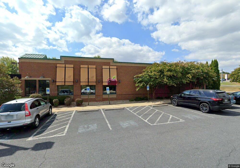
900 Lew Dewitt Blvd Waynesboro, VA 22980
Estimated Value: $1,896,113
--
Bed
--
Bath
4,799
Sq Ft
$395/Sq Ft
Est. Value
About This Home
This home is located at 900 Lew Dewitt Blvd, Waynesboro, VA 22980 and is currently estimated at $1,896,113, approximately $395 per square foot. 900 Lew Dewitt Blvd is a home located in Waynesboro City with nearby schools including Westwood Hills Elementary School, Kate Collins Middle School, and Waynesboro High School.
Ownership History
Date
Name
Owned For
Owner Type
Purchase Details
Closed on
Jul 17, 2024
Sold by
Lph Properties Llc
Bought by
Whitman-Merkle Llc
Current Estimated Value
Purchase Details
Closed on
Sep 10, 2009
Sold by
Dbapplef Llc
Bought by
Lph Properties Llc
Purchase Details
Closed on
Jun 9, 2008
Sold by
Applesbees Restaurants Mid Alt
Bought by
Dbapplef Llc
Home Financials for this Owner
Home Financials are based on the most recent Mortgage that was taken out on this home.
Original Mortgage
$230,500,000
Interest Rate
6.11%
Mortgage Type
Commercial
Create a Home Valuation Report for This Property
The Home Valuation Report is an in-depth analysis detailing your home's value as well as a comparison with similar homes in the area
Home Values in the Area
Average Home Value in this Area
Purchase History
| Date | Buyer | Sale Price | Title Company |
|---|---|---|---|
| Whitman-Merkle Llc | $1,800,000 | Chicago Title | |
| Lph Properties Llc | $2,190,000 | -- | |
| Dbapplef Llc | $2,181,403 | -- |
Source: Public Records
Mortgage History
| Date | Status | Borrower | Loan Amount |
|---|---|---|---|
| Previous Owner | Dbapplef Llc | $230,500,000 |
Source: Public Records
Tax History Compared to Growth
Tax History
| Year | Tax Paid | Tax Assessment Tax Assessment Total Assessment is a certain percentage of the fair market value that is determined by local assessors to be the total taxable value of land and additions on the property. | Land | Improvement |
|---|---|---|---|---|
| 2025 | $15,371 | $1,874,500 | $1,252,500 | $622,000 |
| 2024 | $15,218 | $1,976,300 | $1,289,700 | $686,600 |
| 2023 | $15,218 | $1,976,300 | $1,289,700 | $686,600 |
| 2022 | $17,515 | $1,946,100 | $1,252,300 | $693,800 |
| 2021 | $17,515 | $1,946,100 | $1,252,300 | $693,800 |
| 2020 | $17,699 | $966,600 | $253,200 | $713,400 |
| 2019 | $17,699 | $966,600 | $253,200 | $713,400 |
| 2018 | $17,699 | $1,966,600 | $1,253,200 | $713,400 |
| 2017 | $17,109 | $1,966,600 | $1,253,200 | $713,400 |
| 2016 | $15,748 | $1,968,500 | $1,253,200 | $715,300 |
| 2015 | $15,748 | $1,968,500 | $1,253,200 | $715,300 |
| 2014 | -- | $2,006,800 | $1,253,200 | $753,600 |
| 2013 | -- | $0 | $0 | $0 |
Source: Public Records
Map
Nearby Homes
- 141 Lucy Ln
- 79 Springdale Rd
- 71 Sunbird Ln
- 225 Springdale Rd
- 209 Springdale Rd
- 129 Springdale Rd
- 128 Springdale Rd
- 127 Springdale Rd
- 94A Sunbird Ln
- 144 Sunbird Ln
- 73A Sunbird Ln
- 58 Sunbird Ln
- 131 Springdale Rd
- 77A Springdale Rd
- 64D Springdale Rd
- 64C Springdale Rd
- 64B Springdale Rd
- 64A Springdale Rd
- 62 Springdale Rd
- 2015 Rosser Ave
- 157 Lucy Ln
- 2007 Rosser Ave
- 2001 Rosser Ave
- 901 Lew Dewitt Blvd
- 1101 Red Top Orchard Rd
- 115 Lucy Ln Unit Coyner Park
- 156 Lucy Ln
- 125 Lucy Ln Unit Coyner Park
- 125 Lucy Ln
- 851 Lew Dewitt Blvd
- 2045 Rosser Ave
- 1941 Rosser Ave
- 109 Lucy Ln
- 101 Lucy Ln
- 1935 Rosser Ave
- 831 Lew Dewitt Blvd
- 2030 Rosser Ave
- 140 Lucy Ln
- 2000 Rosser Ave