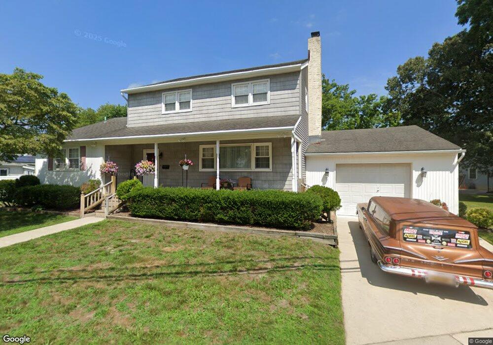
900 Maple Ave Linwood, NJ 08221
Estimated Value: $557,870 - $717,000
Studio
--
Bath
2,638
Sq Ft
$241/Sq Ft
Est. Value
About This Home
This home is located at 900 Maple Ave, Linwood, NJ 08221 and is currently estimated at $636,218, approximately $241 per square foot. 900 Maple Ave is a home located in Atlantic County with nearby schools including Seaview Elementary School, Belhaven Middle School, and Mainland Regional High School.
Ownership History
Date
Name
Owned For
Owner Type
Purchase Details
Closed on
Apr 1, 2019
Sold by
Trama Joseph M
Bought by
Trama Janice
Current Estimated Value
Purchase Details
Closed on
Nov 13, 1998
Sold by
Capille Rosemarie T
Bought by
Capille Rosemarie T and Trama Joseph M
Home Financials for this Owner
Home Financials are based on the most recent Mortgage that was taken out on this home.
Original Mortgage
$48,200
Interest Rate
6.49%
Mortgage Type
Purchase Money Mortgage
Create a Home Valuation Report for This Property
The Home Valuation Report is an in-depth analysis detailing your home's value as well as a comparison with similar homes in the area
Home Values in the Area
Average Home Value in this Area
Purchase History
| Date | Buyer | Sale Price | Title Company |
|---|---|---|---|
| Trama Janice | -- | None Available | |
| Capille Rosemarie T | -- | The Title Company |
Source: Public Records
Mortgage History
| Date | Status | Borrower | Loan Amount |
|---|---|---|---|
| Closed | Capille Rosemarie T | $48,200 |
Source: Public Records
Tax History
| Year | Tax Paid | Tax Assessment Tax Assessment Total Assessment is a certain percentage of the fair market value that is determined by local assessors to be the total taxable value of land and additions on the property. | Land | Improvement |
|---|---|---|---|---|
| 2025 | $11,353 | $297,600 | $124,600 | $173,000 |
| 2024 | $11,353 | $297,600 | $124,600 | $173,000 |
Source: Public Records
Map
Nearby Homes
- 921 Oak Grove Ave
- 105 W Edgewood Ave
- 1050 Shore Rd
- 2 E Poplar Ave
- 2 E Monroe Ave
- 605 Shore Rd
- 204 Barr Ave
- 1201 Woodlynne Blvd
- 116 Country Club Dr
- 1011 New Rd
- 1017 New Rd
- 1009 Richard Dr
- 500 Davis Ave
- 7 Crossing Dr
- 209 Berkshire Ave
- 550 Central Ave Unit E8
- 550 Central Ave Unit B-7
- 550 Central Ave Unit H-15
- 550 Central Ave Unit M-14
- 550 Central Ave Unit H-12
Your Personal Tour Guide
Ask me questions while you tour the home.