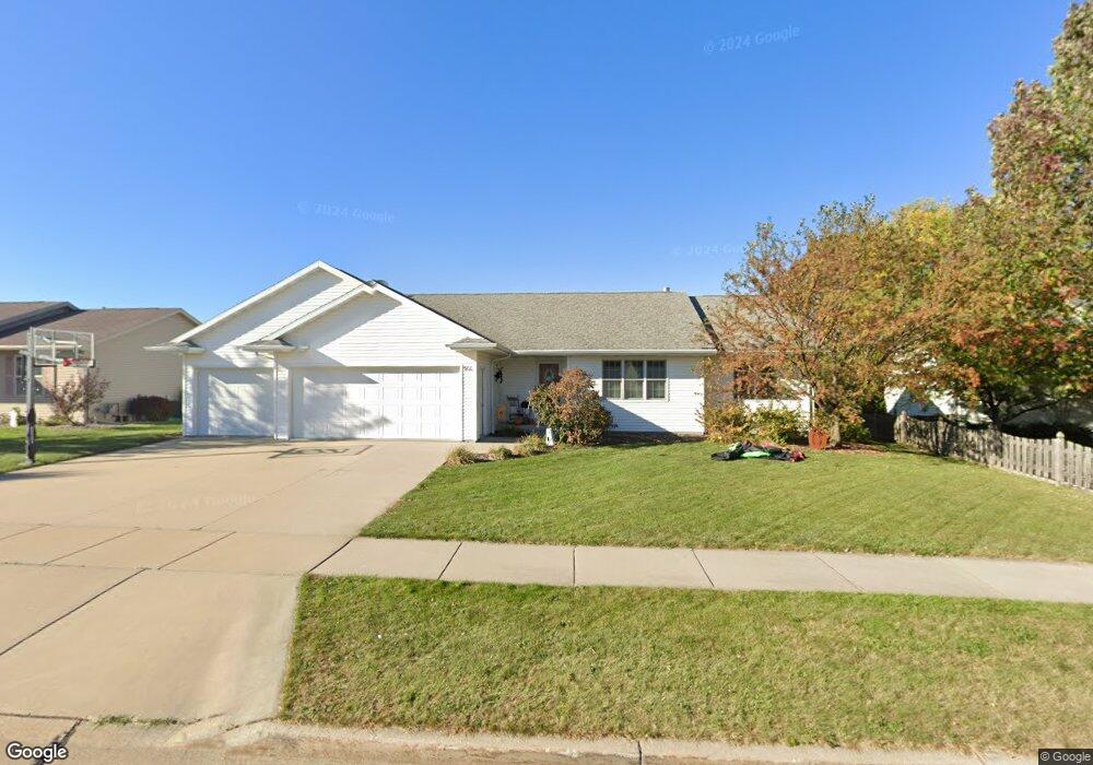
900 Matthew Ln Kaukauna, WI 54130
Estimated Value: $359,000 - $390,492
3
Beds
2
Baths
1,479
Sq Ft
$257/Sq Ft
Est. Value
About This Home
This home is located at 900 Matthew Ln, Kaukauna, WI 54130 and is currently estimated at $379,873, approximately $256 per square foot. 900 Matthew Ln is a home located in Outagamie County with nearby schools including River View School, Kaukauna High School, and New Directions Learning Community.
Ownership History
Date
Name
Owned For
Owner Type
Purchase Details
Closed on
Jun 29, 2017
Sold by
Vanschyndel Nathan and Van Schyndel Jessica J
Bought by
Vanthull Cody J and Van Thull Allison B
Current Estimated Value
Purchase Details
Closed on
Feb 20, 2009
Sold by
Federal National Mortgage Association
Bought by
Butteris Jessica J
Purchase Details
Closed on
Oct 29, 2008
Sold by
Sanderfoot Brian L
Bought by
Federal National Mortgage Association
Create a Home Valuation Report for This Property
The Home Valuation Report is an in-depth analysis detailing your home's value as well as a comparison with similar homes in the area
Home Values in the Area
Average Home Value in this Area
Purchase History
| Date | Buyer | Sale Price | Title Company |
|---|---|---|---|
| Vanthull Cody J | $239,900 | -- | |
| Butteris Jessica J | $135,000 | -- | |
| Federal National Mortgage Association | $169,900 | -- |
Source: Public Records
Mortgage History
| Date | Status | Borrower | Loan Amount |
|---|---|---|---|
| Open | Van Thull Allison B | $212,000 | |
| Previous Owner | Butteris Jessica J | $55,000 |
Source: Public Records
Tax History Compared to Growth
Tax History
| Year | Tax Paid | Tax Assessment Tax Assessment Total Assessment is a certain percentage of the fair market value that is determined by local assessors to be the total taxable value of land and additions on the property. | Land | Improvement |
|---|---|---|---|---|
| 2024 | $5,238 | $250,000 | $37,000 | $213,000 |
| 2023 | $4,803 | $250,000 | $37,000 | $213,000 |
| 2022 | $4,487 | $250,000 | $37,000 | $213,000 |
| 2021 | $4,266 | $250,000 | $37,000 | $213,000 |
| 2020 | $3,641 | $164,300 | $31,700 | $132,600 |
| 2019 | $3,636 | $164,300 | $31,700 | $132,600 |
| 2018 | $3,664 | $164,300 | $31,700 | $132,600 |
| 2017 | $3,664 | $164,300 | $31,700 | $132,600 |
| 2016 | $3,490 | $164,300 | $31,700 | $132,600 |
| 2015 | $3,506 | $164,300 | $31,700 | $132,600 |
| 2014 | $3,492 | $164,300 | $31,700 | $132,600 |
| 2013 | $3,518 | $164,300 | $31,700 | $132,600 |
Source: Public Records
Map
Nearby Homes
- 1207 Saunders Rd
- 708 Westfield St
- 580 W Henry St
- 412 Buchanan Rd
- 607 Debruin Rd
- 3005 Crooks Ave
- 107 Lamine Ln
- 2205 Welhouse Dr
- 592 Cornrow Ln
- 435 Roger St
- 1601 Main Ave
- W2286 Valleywood Ln
- 216 E 17th St
- 304 E 17th St
- 123 W 10th St
- W2313 Saint Germaine Ct
- 227 E 10th St
- 387 Riverview Ridge Place
- 445 Riverview Ridge Place
- 393 Farmhouse Ln