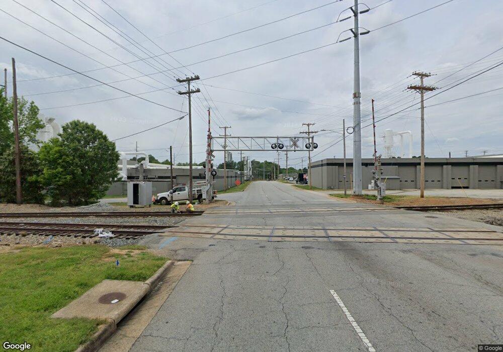
900 N College Dr High Point, NC 27262
Greater High Point NeighborhoodEstimated Value: $216,248 - $277,000
2
Beds
2
Baths
1,421
Sq Ft
$172/Sq Ft
Est. Value
About This Home
This home is located at 900 N College Dr, High Point, NC 27262 and is currently estimated at $244,062, approximately $171 per square foot. 900 N College Dr is a home located in Guilford County with nearby schools including Kirkman Park Elementary School, Penn-Griffin School for the Arts, and T.W. Andrews High School.
Ownership History
Date
Name
Owned For
Owner Type
Purchase Details
Closed on
Oct 31, 2019
Sold by
Corn William L and Corn Kimberly S
Bought by
Lily Pad Investors Llc
Current Estimated Value
Purchase Details
Closed on
Jun 28, 2001
Sold by
Meinhart Paul J and Meinhart Patricia Ann
Bought by
Corn William L and Corn Kimberly J
Create a Home Valuation Report for This Property
The Home Valuation Report is an in-depth analysis detailing your home's value as well as a comparison with similar homes in the area
Home Values in the Area
Average Home Value in this Area
Purchase History
| Date | Buyer | Sale Price | Title Company |
|---|---|---|---|
| Lily Pad Investors Llc | $175,000 | None Available | |
| Corn William L | $79,000 | -- |
Source: Public Records
Tax History Compared to Growth
Tax History
| Year | Tax Paid | Tax Assessment Tax Assessment Total Assessment is a certain percentage of the fair market value that is determined by local assessors to be the total taxable value of land and additions on the property. | Land | Improvement |
|---|---|---|---|---|
| 2025 | $1,787 | $129,700 | $25,300 | $104,400 |
| 2024 | $1,787 | $129,700 | $25,300 | $104,400 |
| 2023 | $1,787 | $129,700 | $25,300 | $104,400 |
| 2022 | $1,748 | $129,700 | $25,300 | $104,400 |
| 2021 | $1,345 | $97,600 | $11,500 | $86,100 |
| 2020 | $995 | $72,200 | $11,500 | $60,700 |
| 2019 | $995 | $72,200 | $0 | $0 |
| 2018 | $990 | $72,200 | $0 | $0 |
| 2017 | $995 | $72,200 | $0 | $0 |
| 2016 | $1,004 | $71,600 | $0 | $0 |
| 2015 | $1,010 | $71,600 | $0 | $0 |
| 2014 | $1,027 | $71,600 | $0 | $0 |
Source: Public Records
Map
Nearby Homes
- 901 Circle Dr
- 1515 Graves Ave
- 1528 Graves Ave
- 1508 Boundary Ave
- 2406 Waverly Ct
- 1602 Boundary Ave
- 1604 Boundary Ave
- 1408 Wiltshire St
- 1606 Boundary Ave
- 910 E Dayton Ave
- 916 Forrest St
- 934 Forrest St
- 828 Willow Place
- 509 Woodrow Ave
- 2410 Dallas Ave
- 907 E Dayton Ave
- 1202 Dartmouth Ave
- 2430 E Lexington Ave
- 905 Mint Ave
- 719 Forrest St
- 810 N College Dr
- 1201 Mcguinn Dr
- 1103 Guyer St
- 1107 Mcguinn Dr
- 1105 Mcguinn Dr
- 1205 Mcguinn Dr
- 821 Circle Dr
- 819 Circle Dr
- 1106 Guyer St
- 1207 Mcguinn Dr
- 1107 Guyer St
- 817 Circle Dr
- 823 Circle Dr
- 815 Circle Dr
- 1108 Guyer St
- 1002 N College Dr Unit 1004
- 1109 Guyer St
- 1107 Delk Dr
- 813 Circle Dr
- 829 Circle Dr
