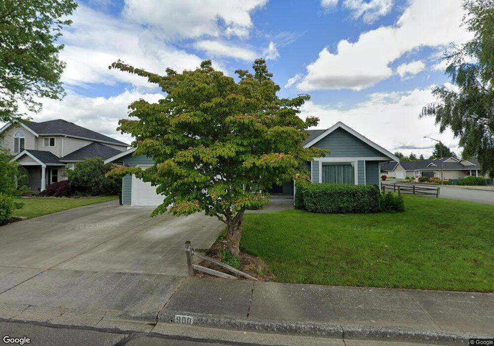
900 N Pine Ct Lynden, WA 98264
Estimated Value: $530,000 - $647,000
3
Beds
2
Baths
1,801
Sq Ft
$326/Sq Ft
Est. Value
About This Home
This home is located at 900 N Pine Ct, Lynden, WA 98264 and is currently estimated at $587,734, approximately $326 per square foot. 900 N Pine Ct is a home located in Whatcom County with nearby schools including Lynden High School, Lynden Christian School, and Lynden Christian Schools: Administration.
Ownership History
Date
Name
Owned For
Owner Type
Purchase Details
Closed on
Apr 28, 2020
Sold by
Clark Julie and Likkel Berk J
Bought by
Likkel Jeffrey B and Likkel Leslie A
Current Estimated Value
Home Financials for this Owner
Home Financials are based on the most recent Mortgage that was taken out on this home.
Original Mortgage
$40,000
Outstanding Balance
$35,643
Interest Rate
3.6%
Mortgage Type
Unknown
Estimated Equity
$552,091
Purchase Details
Closed on
Jul 23, 2013
Sold by
Likkel Berk J and Likkel Mary A
Bought by
Likkel Berk J and Likkel Mary A
Create a Home Valuation Report for This Property
The Home Valuation Report is an in-depth analysis detailing your home's value as well as a comparison with similar homes in the area
Home Values in the Area
Average Home Value in this Area
Purchase History
| Date | Buyer | Sale Price | Title Company |
|---|---|---|---|
| Likkel Jeffrey B | $302,531 | Chicago Title Company Of Wa | |
| Likkel Berk J | -- | None Available |
Source: Public Records
Mortgage History
| Date | Status | Borrower | Loan Amount |
|---|---|---|---|
| Open | Likkel Jeffrey B | $40,000 |
Source: Public Records
Tax History Compared to Growth
Tax History
| Year | Tax Paid | Tax Assessment Tax Assessment Total Assessment is a certain percentage of the fair market value that is determined by local assessors to be the total taxable value of land and additions on the property. | Land | Improvement |
|---|---|---|---|---|
| 2024 | $4,023 | $564,982 | $242,500 | $322,482 |
| 2023 | $4,023 | $560,079 | $250,000 | $310,079 |
| 2022 | $3,403 | $447,048 | $127,711 | $319,337 |
| 2021 | $3,338 | $369,456 | $105,545 | $263,911 |
| 2020 | $2,924 | $329,880 | $94,239 | $235,641 |
| 2019 | $2,601 | $302,532 | $86,527 | $216,005 |
| 2018 | $2,843 | $275,916 | $78,823 | $197,093 |
| 2017 | $2,579 | $247,658 | $70,750 | $176,908 |
| 2016 | $2,432 | $238,975 | $66,000 | $172,975 |
| 2015 | $2,155 | $224,116 | $63,480 | $160,636 |
| 2014 | -- | $216,524 | $61,320 | $155,204 |
| 2013 | -- | $215,204 | $60,000 | $155,204 |
Source: Public Records
Map
Nearby Homes
- 605 N Forest Ct
- 8374 W Meadow Ln
- 515 17th St
- 801 19th St
- 2 Guide Meridian Rd
- 1584 Main St
- 403 17th St
- 1882 Front St Unit B208
- 1882 Front St Unit B111
- 106 Fairside Dr Unit D
- 2010 Front St Unit 33
- 210 Stremler Dr
- 1717 E St
- 805 Cedar Dr
- 410 10th St
- 1510 E St
- 885 Sunrise Dr
- 735 Ivy St
- 872 Sunrise Dr
- 1739 Emerald Way