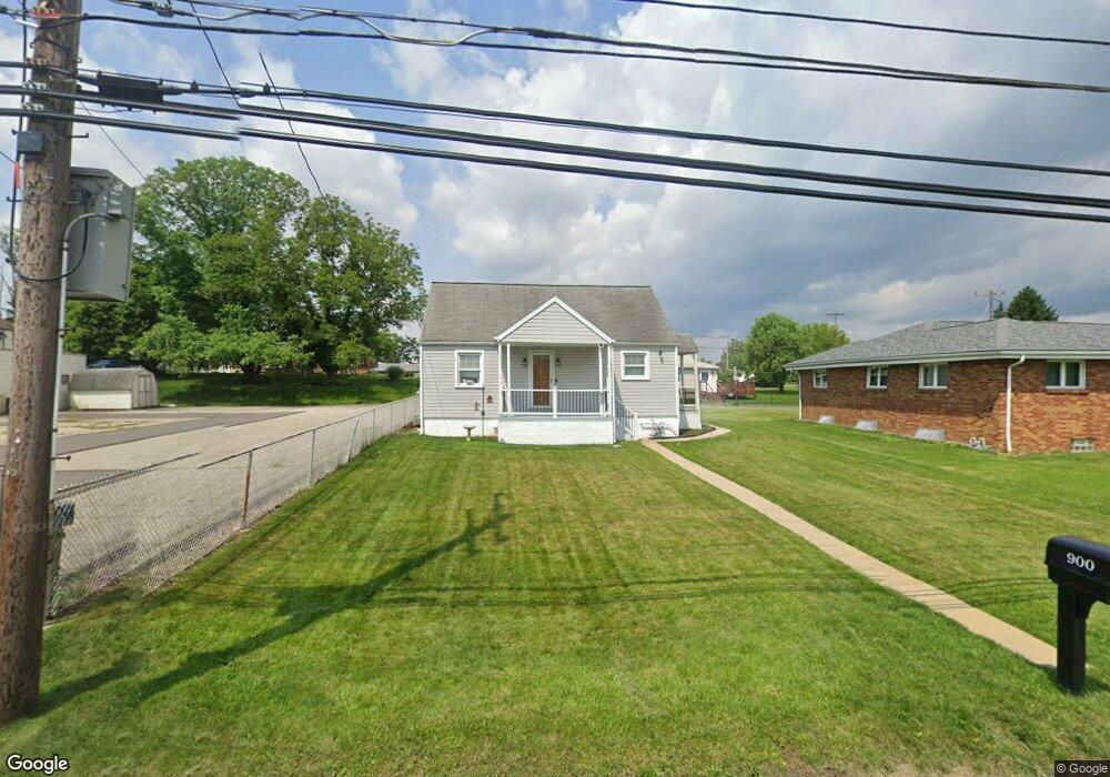
900 Russellton Rd Cheswick, PA 15024
Harmar Township NeighborhoodEstimated Value: $161,000 - $197,777
2
Beds
1
Bath
824
Sq Ft
$214/Sq Ft
Est. Value
About This Home
This home is located at 900 Russellton Rd, Cheswick, PA 15024 and is currently estimated at $176,444, approximately $214 per square foot. 900 Russellton Rd is a home located in Allegheny County with nearby schools including Acmetonia Primary School, Springdale Junior-Senior High School, and Cheswick Christian Academy.
Ownership History
Date
Name
Owned For
Owner Type
Purchase Details
Closed on
Oct 1, 2020
Sold by
Armstrong Jennifer
Bought by
Kuhlman Kevin H
Current Estimated Value
Home Financials for this Owner
Home Financials are based on the most recent Mortgage that was taken out on this home.
Original Mortgage
$122,735
Outstanding Balance
$109,166
Interest Rate
2.9%
Mortgage Type
New Conventional
Estimated Equity
$67,278
Purchase Details
Closed on
Jun 10, 2020
Sold by
Armstrong Jennifer and Bernhardt Robert A
Bought by
Armstrong Jennifer
Purchase Details
Closed on
Feb 28, 2003
Sold by
Glamp Andrew F and Glamp Michelle D
Bought by
Bernhardt Robert A
Purchase Details
Closed on
May 14, 1997
Sold by
Glamp Karen Leora
Bought by
Glamp Andrew F and Glamp Michelle D
Create a Home Valuation Report for This Property
The Home Valuation Report is an in-depth analysis detailing your home's value as well as a comparison with similar homes in the area
Home Values in the Area
Average Home Value in this Area
Purchase History
| Date | Buyer | Sale Price | Title Company |
|---|---|---|---|
| Kuhlman Kevin H | $125,000 | Attorney | |
| Armstrong Jennifer | -- | None Available | |
| Bernhardt Robert A | $78,000 | -- | |
| Glamp Andrew F | $25,000 | -- |
Source: Public Records
Mortgage History
| Date | Status | Borrower | Loan Amount |
|---|---|---|---|
| Open | Kuhlman Kevin H | $122,735 |
Source: Public Records
Tax History Compared to Growth
Tax History
| Year | Tax Paid | Tax Assessment Tax Assessment Total Assessment is a certain percentage of the fair market value that is determined by local assessors to be the total taxable value of land and additions on the property. | Land | Improvement |
|---|---|---|---|---|
| 2025 | $2,929 | $102,000 | $65,100 | $36,900 |
| 2024 | $2,929 | $102,000 | $65,100 | $36,900 |
| 2023 | $2,929 | $102,000 | $65,100 | $36,900 |
| 2022 | $2,929 | $102,000 | $65,100 | $36,900 |
| 2021 | $417 | $109,400 | $65,100 | $44,300 |
| 2020 | $2,037 | $88,200 | $65,100 | $23,100 |
| 2019 | $2,037 | $70,200 | $65,100 | $5,100 |
| 2018 | $232 | $70,200 | $65,100 | $5,100 |
| 2017 | $2,003 | $70,200 | $65,100 | $5,100 |
| 2016 | $332 | $70,200 | $65,100 | $5,100 |
| 2015 | $332 | $70,200 | $65,100 | $5,100 |
| 2014 | $2,020 | $70,200 | $65,100 | $5,100 |
Source: Public Records
Map
Nearby Homes
- 820 Jacoby Rd
- 737 Maple St
- 104 Rivermont Ct
- 0 Jacoby Rd
- 112 Rivermont Ct
- 209 Cambridge Dr Unit 209
- 221-227 Spring St
- 915 Thompson Run Rd
- 1307 Fairmont St
- 108 Hill Ave
- 14 Werner Camp Rd
- 1027 Shawnee Ridge Dr
- 111 S Atlantic Ave
- 543 Shrader St
- 211 Shady Ave
- 217 Sycamore Ridge Dr
- 129 Bucknell St
- 369 Lefever Hill Rd
- 107 Cove Run Rd
- 170 Lincoln Dr