900 S Durkin Dr Unit 47 Springfield, IL 62704
Pasfield Park Place NeighborhoodEstimated Value: $81,000 - $137,000
--
Bed
--
Bath
--
Sq Ft
--
Built
About This Home
This home is located at 900 S Durkin Dr Unit 47, Springfield, IL 62704 and is currently estimated at $101,819. 900 S Durkin Dr Unit 47 is a home located in Sangamon County with nearby schools including Dubois Elementary School, U.S. Grant Middle School, and Springfield High School.
Ownership History
Date
Name
Owned For
Owner Type
Purchase Details
Closed on
Jul 23, 2015
Current Estimated Value
Purchase Details
Closed on
Nov 14, 2014
Purchase Details
Closed on
Apr 16, 2014
Purchase Details
Closed on
Jun 30, 2008
Purchase Details
Closed on
Jan 11, 2008
Purchase Details
Closed on
Aug 14, 2007
Purchase Details
Closed on
Apr 17, 2007
Purchase Details
Closed on
Oct 27, 2006
Purchase Details
Closed on
Mar 15, 2005
Purchase Details
Closed on
Oct 24, 2003
Purchase Details
Closed on
Apr 5, 1995
Create a Home Valuation Report for This Property
The Home Valuation Report is an in-depth analysis detailing your home's value as well as a comparison with similar homes in the area
Home Values in the Area
Average Home Value in this Area
Purchase History
| Date | Buyer | Sale Price | Title Company |
|---|---|---|---|
| -- | -- | -- | |
| -- | -- | -- | |
| -- | -- | -- | |
| -- | $57,000 | -- | |
| -- | $44,000 | -- | |
| -- | -- | -- | |
| -- | -- | -- | |
| -- | -- | -- | |
| -- | $63,900 | -- | |
| -- | $57,000 | -- | |
| -- | $21,900 | -- |
Source: Public Records
Tax History Compared to Growth
Tax History
| Year | Tax Paid | Tax Assessment Tax Assessment Total Assessment is a certain percentage of the fair market value that is determined by local assessors to be the total taxable value of land and additions on the property. | Land | Improvement |
|---|---|---|---|---|
| 2024 | $1,244 | $25,810 | $2,000 | $23,810 |
| 2023 | $918 | $23,575 | $1,827 | $21,748 |
| 2022 | $930 | $22,363 | $1,733 | $20,630 |
| 2021 | $934 | $21,526 | $1,668 | $19,858 |
| 2020 | $914 | $21,559 | $1,671 | $19,888 |
| 2019 | $910 | $21,484 | $1,665 | $19,819 |
| 2018 | $1,114 | $24,187 | $1,875 | $22,312 |
| 2017 | $1,286 | $23,874 | $1,851 | $22,023 |
| 2016 | $928 | $11,133 | $1,824 | $9,309 |
| 2015 | $1,401 | $22,757 | $1,801 | $20,956 |
| 2014 | $1,376 | $22,610 | $1,789 | $20,821 |
| 2013 | $1,346 | $22,610 | $1,789 | $20,821 |
Source: Public Records
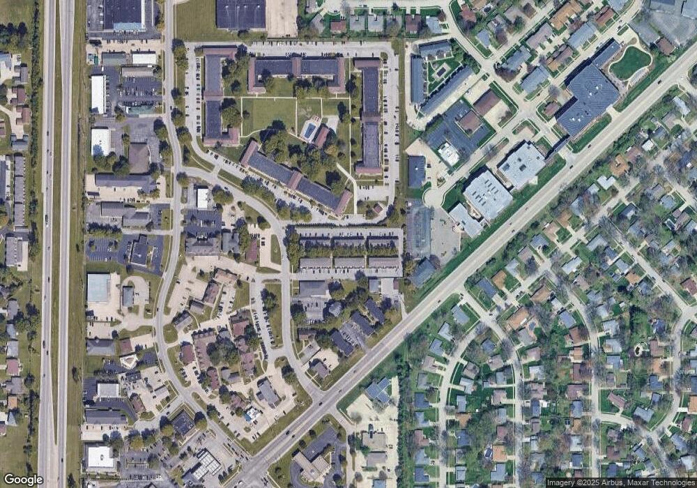
Map
Nearby Homes
- 1109 Larchmont Dr
- 2523 Gaylord Ave
- 308 S Oxford Rd
- 313 S Durkin Dr Unit 313
- 19 Bellerive Rd
- 2309 W Lawrence Ave
- 160 S Durkin Dr Unit 4
- 2134 W Lawrence Ave
- 55 Trailridge Ln
- 3116 Victoria Dr
- 2491 W Washington St
- 200 N Durkin Dr
- 325 Cartwright Dr
- 1621 Seton Dr
- 169 Bellerive Rd
- 3229 W Point Dr
- 612 Rock River Rd
- 2553 Chapel Hill Dr
- 604 Rock River Rd
- 608 Rock River Rd
- 900 S Durkin Dr Unit 1
- 900 S Durkin Dr Unit 48
- 900 S Durkin Dr Unit 42
- 900 S Durkin Dr Unit 33
- 900 S Durkin Dr Unit 28
- 900 S Durkin Dr Unit 18
- 900 S Durkin Dr Unit 23
- 900 S Durkin Dr Unit 17
- 900 S Durkin Dr Unit 2
- 900 S Durkin Dr Unit 13
- 900 S Durkin Dr Unit 47
- 900 S Durkin Dr Unit 46
- 900 S Durkin Dr Unit 44
- 900 S Durkin Dr Unit 40
- 900 S Durkin Dr Unit 36
- 900 S Durkin Dr Unit 34
- 900 S Durkin Dr Unit 43
- 900 S Durkin Dr Unit 37
- 900 S Durkin Dr Unit 35
- 900 S Durkin Dr Unit 32