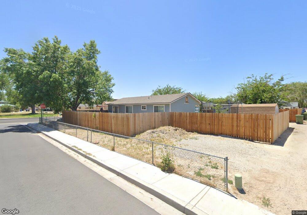
900 W 5th St Fallon, NV 89406
Estimated Value: $277,601 - $294,000
4
Beds
2
Baths
1,152
Sq Ft
$248/Sq Ft
Est. Value
About This Home
This home is located at 900 W 5th St, Fallon, NV 89406 and is currently estimated at $286,150, approximately $248 per square foot. 900 W 5th St is a home located in Churchill County with nearby schools including Lahontan Elementary School, E.C. Best Elementary School, and Numa Elementary School.
Ownership History
Date
Name
Owned For
Owner Type
Purchase Details
Closed on
Aug 9, 2011
Sold by
Koeckes Elizabeth A
Bought by
Koeckes Elizabeth A and Sharp Deborah A
Current Estimated Value
Purchase Details
Closed on
Nov 3, 2008
Sold by
Stevenson Curt and Sharp Lori
Bought by
Koeckes Elizabeth A
Home Financials for this Owner
Home Financials are based on the most recent Mortgage that was taken out on this home.
Original Mortgage
$102,400
Outstanding Balance
$66,180
Interest Rate
5.77%
Mortgage Type
Purchase Money Mortgage
Estimated Equity
$219,970
Create a Home Valuation Report for This Property
The Home Valuation Report is an in-depth analysis detailing your home's value as well as a comparison with similar homes in the area
Home Values in the Area
Average Home Value in this Area
Purchase History
| Date | Buyer | Sale Price | Title Company |
|---|---|---|---|
| Koeckes Elizabeth A | -- | None Available | |
| Koeckes Elizabeth A | $128,000 | Western Nevada Title Company |
Source: Public Records
Mortgage History
| Date | Status | Borrower | Loan Amount |
|---|---|---|---|
| Open | Koeckes Elizabeth A | $102,400 |
Source: Public Records
Tax History
| Year | Tax Paid | Tax Assessment Tax Assessment Total Assessment is a certain percentage of the fair market value that is determined by local assessors to be the total taxable value of land and additions on the property. | Land | Improvement |
|---|---|---|---|---|
| 2025 | $833 | $30,778 | $13,650 | $17,128 |
| 2024 | $833 | $29,903 | $12,950 | $16,953 |
| 2023 | $833 | $27,728 | $12,250 | $15,478 |
| 2022 | $784 | $21,190 | $8,050 | $13,140 |
| 2021 | $786 | $21,239 | $8,050 | $13,189 |
| 2020 | $809 | $21,928 | $8,050 | $13,878 |
| 2019 | $793 | $21,989 | $8,050 | $13,939 |
| 2018 | $770 | $22,006 | $8,050 | $13,956 |
| 2017 | $747 | $21,322 | $7,000 | $14,322 |
| 2016 | $728 | $20,183 | $7,000 | $13,183 |
| 2015 | $714 | $18,750 | $7,000 | $11,750 |
| 2014 | -- | $17,979 | $7,000 | $10,979 |
Source: Public Records
Map
Nearby Homes
- 521 Whitaker Ln
- 861 W Center St
- 841 W Center St
- 65 S Bailey St
- 1009 Deena Way
- 250 S Taylor St
- 360 & 360 1/2 W Virginia St
- 345 Lincoln St
- 1291 S Taylor St
- 1.55 Acres on S Maine St
- 1091 Tiffany Dr
- 12017 Power Line Rd
- 635 Churchill St
- 009-291-74 00929174
- 1044 Allen Rd
- 1205 S Maine St Unit 20
- 1205 S Maine St Unit 21
- 1205 S Maine St Unit 18
- 628 Humboldt St
- 301 Tolas Place Unit 8
Your Personal Tour Guide
Ask me questions while you tour the home.