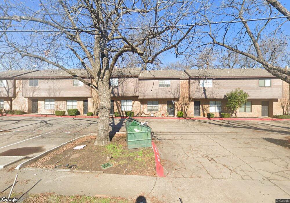
900 W Mulberry St Unit 8 Denton, TX 76201
Downtown Denton NeighborhoodEstimated Value: $191,886 - $250,000
--
Bed
--
Bath
1,048
Sq Ft
$204/Sq Ft
Est. Value
About This Home
This home is located at 900 W Mulberry St Unit 8, Denton, TX 76201 and is currently estimated at $213,472, approximately $203 per square foot. 900 W Mulberry St Unit 8 is a home located in Denton County with nearby schools including Borman Elementary School, Calhoun Middle School, and Denton High School.
Ownership History
Date
Name
Owned For
Owner Type
Purchase Details
Closed on
Sep 10, 2024
Sold by
Layne Michael Douglas
Bought by
Woodbrook Ii Llc
Current Estimated Value
Purchase Details
Closed on
Feb 4, 2021
Sold by
Boydston Rodney and Estate Of Douglas K Layne
Bought by
Layne Michael Douglas
Purchase Details
Closed on
Sep 10, 2004
Sold by
Layne Douglas K
Bought by
Layne Douglas K
Create a Home Valuation Report for This Property
The Home Valuation Report is an in-depth analysis detailing your home's value as well as a comparison with similar homes in the area
Home Values in the Area
Average Home Value in this Area
Purchase History
| Date | Buyer | Sale Price | Title Company |
|---|---|---|---|
| Woodbrook Ii Llc | -- | None Listed On Document | |
| Layne Michael Douglas | -- | None Available | |
| Layne Douglas K | -- | -- |
Source: Public Records
Tax History Compared to Growth
Tax History
| Year | Tax Paid | Tax Assessment Tax Assessment Total Assessment is a certain percentage of the fair market value that is determined by local assessors to be the total taxable value of land and additions on the property. | Land | Improvement |
|---|---|---|---|---|
| 2025 | $3,378 | $181,096 | $28,043 | $153,053 |
| 2024 | $3,378 | $175,000 | $17,137 | $157,863 |
| 2023 | $3,360 | $176,000 | $11,597 | $164,403 |
| 2022 | $2,066 | $97,308 | $20,625 | $76,683 |
| 2021 | $2,044 | $91,964 | $20,625 | $71,339 |
| 2020 | $2,204 | $96,422 | $20,625 | $75,797 |
| 2019 | $2,277 | $95,429 | $20,625 | $74,804 |
| 2018 | $2,160 | $89,424 | $20,625 | $68,799 |
| 2017 | $2,234 | $90,393 | $20,625 | $69,768 |
| 2016 | $1,964 | $79,471 | $10,000 | $69,471 |
| 2015 | -- | $76,004 | $10,000 | $66,004 |
| 2014 | -- | $67,459 | $10,000 | $57,459 |
| 2013 | -- | $61,338 | $10,000 | $51,338 |
Source: Public Records
Map
Nearby Homes
- 215 Bernard St
- 330 Ponder St
- 406 Fry St
- 321 Fry St
- 522 Denton St
- 415 Pierce St
- 304 W Prairie St
- 528 Pierce St
- 1115 Egan St
- 918 Egan St
- 605 Panhandle St
- 922 Fannin St Unit 102
- 1509 Egan St
- 1303 Fannin St
- 808 W Collins St
- 724 W Collins St
- 606 Wainwright St
- 708 W Collins St
- 700 W Collins St
- 618 W Collins St
- 900 W Mulberry St Unit 6
- 900 W Mulberry St Unit 5
- 900 W Mulberry St Unit 4
- 900 W Mulberry St Unit 2
- 900 W Mulberry St Unit 1
- 900 W Mulberry St Unit 3
- 900 W Mulberry St
- 118 Bernard St
- 916 W Mulberry St Unit 20
- 114 Bernard St
- 206 Bernard St
- 911 W Hickory St
- 919 W Hickory St
- 907 W Hickory St
- 918 W Mulberry St Unit 20
- 921 W Hickory St
- 113 Bernard St
- 113 Bernard St Unit C
- 113 Bernard St Unit A
- 201 Bernard St