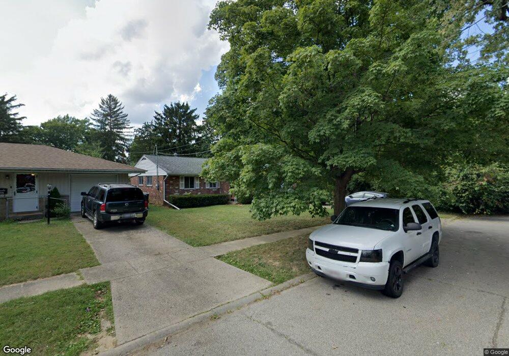
9000 Daly Rd Cincinnati, OH 45231
Finneytown NeighborhoodEstimated Value: $183,000 - $276,000
About This Home
This home is located at 9000 Daly Rd, Cincinnati, OH 45231 and is currently estimated at $218,285, approximately $158 per square foot. 9000 Daly Rd is a home located in Hamilton County with nearby schools including Mt Healthy High School and John Paul II Catholic School.
Ownership History
We collect this data history from publicly available records. To have your information removed, we recommend requesting removal directly through your county’s website.
Purchase Details
Home Financials for this Owner
Home Financials are based on the most recent Mortgage that was taken out on this home.Purchase Details
Home Values in the Area
Average Home Value in this Area
Purchase History
We collect this data history from publicly available records. To have your information removed, we recommend requesting removal directly through your county’s website.
| Date | Buyer | Sale Price | Title Company |
|---|---|---|---|
| $78,000 | Attorney | ||
| -- | -- |
Mortgage History
We collect this data history from publicly available records. To have your information removed, we recommend requesting removal directly through your county’s website.
| Date | Status | Borrower | Loan Amount |
|---|---|---|---|
| Open | $78,000 | ||
| Previous Owner | $2,107 |
Tax History
We collect this data history from publicly available records. To have your information removed, we recommend requesting removal directly through your county’s website.
| Year | Tax Paid | Tax Assessment Tax Assessment Total Assessment is a certain percentage of the fair market value that is determined by local assessors to be the total taxable value of land and additions on the property. | Land | Improvement |
|---|---|---|---|---|
| 2025 | $2,671 | $45,893 | $10,994 | $34,899 |
| 2023 | $2,515 | $45,893 | $10,994 | $34,899 |
| 2022 | $1,773 | $23,251 | $9,272 | $13,979 |
| 2021 | $1,729 | $23,251 | $9,272 | $13,979 |
| 2020 | $1,751 | $23,251 | $9,272 | $13,979 |
| 2019 | $1,590 | $19,706 | $7,858 | $11,848 |
| 2018 | $1,598 | $19,706 | $7,858 | $11,848 |
| 2017 | $1,519 | $19,706 | $7,858 | $11,848 |
| 2016 | $1,397 | $17,840 | $8,498 | $9,342 |
| 2015 | $1,405 | $17,840 | $8,498 | $9,342 |
| 2014 | $1,399 | $17,840 | $8,498 | $9,342 |
| 2013 | $1,343 | $17,490 | $8,330 | $9,160 |
Map
- 1176 Madeleine Cir
- 8877 Balboa Dr
- 1107 Compton Rd
- 1149 Madeleine Cir
- 8779 Daly Rd
- 8796 Balboa Dr
- 8868 Ebro Ct
- 8754 Monsanto Dr
- 8819 Grenada Dr
- 8811 Grenada Dr
- 1116 Madeleine Cir
- 8845 Ebro Ct
- 8847 Mockingbird Ln
- 8785 Mockingbird Ln
- 8829 Mockingbird Ln
- 8710 Mockingbird Ln
- 1051 Flintlock Dr
- 8760 Grenada Dr
- 1290 Aldrich Ave
- 8844 Mockingbird Ln
- 1186 Sugartree Ct
- 8987 Monsanto Dr
- 9002 Daly Rd
- 8996 Daly Rd
- 1194 Sugartree Ct
- 1182 Sugartree Ct
- 8990 Daly Rd
- 8982 Daly Rd
- 1195 Sugartree Ct
- 8974 Daly Rd
- 8998 Monsanto Dr
- 8988 Monsanto Dr
- 1191 Sugartree Ct
- 1183 Sugartree Ct
- 8966 Daly Rd
- 8980 Monsanto Dr
- 1187 Sugartree Ct
- 8972 Monsanto Dr
- 8951 Monsanto Dr
- 8958 Daly Rd
Ask me questions while you tour the home.