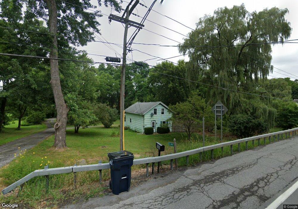
9000 Route 5 and 20 West Bloomfield, NY 14585
Estimated Value: $164,000 - $173,000
3
Beds
2
Baths
1,098
Sq Ft
$154/Sq Ft
Est. Value
About This Home
This home is located at 9000 Route 5 and 20, West Bloomfield, NY 14585 and is currently estimated at $168,976, approximately $153 per square foot. 9000 Route 5 and 20 is a home located in Ontario County with nearby schools including Bloomfield Elementary School, Bloomfield Middle School, and Bloomfield High School.
Ownership History
Date
Name
Owned For
Owner Type
Purchase Details
Closed on
Jun 3, 2025
Sold by
Coon Matthew H
Bought by
Benzakein Corrigan K and Benzakein Samuel D
Current Estimated Value
Home Financials for this Owner
Home Financials are based on the most recent Mortgage that was taken out on this home.
Original Mortgage
$161,500
Outstanding Balance
$161,081
Interest Rate
6.76%
Mortgage Type
New Conventional
Estimated Equity
$7,895
Purchase Details
Closed on
Mar 14, 2019
Sold by
Darling Donald C
Bought by
Coon Matthew H
Home Financials for this Owner
Home Financials are based on the most recent Mortgage that was taken out on this home.
Original Mortgage
$78,100
Interest Rate
4.4%
Mortgage Type
Purchase Money Mortgage
Purchase Details
Closed on
Apr 4, 2001
Sold by
Brayer Judith
Bought by
Darling Donald
Create a Home Valuation Report for This Property
The Home Valuation Report is an in-depth analysis detailing your home's value as well as a comparison with similar homes in the area
Home Values in the Area
Average Home Value in this Area
Purchase History
| Date | Buyer | Sale Price | Title Company |
|---|---|---|---|
| Benzakein Corrigan K | $170,000 | None Available | |
| Benzakein Corrigan K | $170,000 | None Available | |
| Coon Matthew H | $82,000 | -- | |
| Darling Donald | $65,500 | Robert S Blazak | |
| Darling Donald | $65,500 | Robert S Blazak |
Source: Public Records
Mortgage History
| Date | Status | Borrower | Loan Amount |
|---|---|---|---|
| Open | Benzakein Corrigan K | $161,500 | |
| Previous Owner | Coon Matthew H | $78,100 | |
| Previous Owner | Coon Matthew H | $8,000 |
Source: Public Records
Tax History Compared to Growth
Tax History
| Year | Tax Paid | Tax Assessment Tax Assessment Total Assessment is a certain percentage of the fair market value that is determined by local assessors to be the total taxable value of land and additions on the property. | Land | Improvement |
|---|---|---|---|---|
| 2024 | $1,786 | $90,000 | $28,800 | $61,200 |
| 2023 | $2,591 | $90,000 | $28,800 | $61,200 |
| 2022 | $2,619 | $90,000 | $28,800 | $61,200 |
| 2021 | $2,837 | $85,100 | $26,400 | $58,700 |
| 2020 | $2,727 | $85,100 | $26,400 | $58,700 |
| 2019 | $0 | $85,100 | $26,400 | $58,700 |
| 2018 | $502 | $85,100 | $26,400 | $58,700 |
| 2017 | $0 | $85,100 | $28,500 | $56,600 |
| 2016 | $533 | $85,100 | $28,500 | $56,600 |
| 2015 | -- | $85,100 | $28,500 | $56,600 |
| 2014 | -- | $85,100 | $28,500 | $56,600 |
Source: Public Records
Map
Nearby Homes
- 58 Bloomdale Mobile Home Park Unit 58
- 21 Picture Book Park
- 48 Picture Book Park
- 2275 Olmstead Rd
- 8632 State Route 5 and 20
- 0 County Road 35
- 2890 Conn Rd
- 1621 Bragg St
- 8812 County Road 14
- VL County Road 14
- 3055 Sand Rd
- 1925 Factors Walk
- 1939 New York 65
- 1892 Quaker Meeting House Rd
- 0 Wesley Rd
- 7786 State Route 5 and 20
- 1775 Elm St
- 7367 Evergreen St
- 7626 Bromley Rd
- 12 Creekside Dr
- 9000 New York 5
- 9010 State Route 5 and 20
- 8992 State Route 5 and 20
- 9016 State Route 5&20
- 9016 State Route 5 and 20
- 8985 State Route 5 and 20
- 9007 State Route 5 and 20
- 8978 State Route 5 and 20
- 9018 State Route 5 and 20
- 9013 State Route 5 and 20
- 9020 State Route 5 and 20
- 9020 State Route 5 and 20
- 8981 State Route 5 and 20
- 9020 New York 5
- 8992 New York 5
- 9024 State Route 5 and 20
- 9024 State Route 5 and 20
- 9021 State Route 5 and 20
- 9023 New York 5
- 9030 State Route 5 and 20