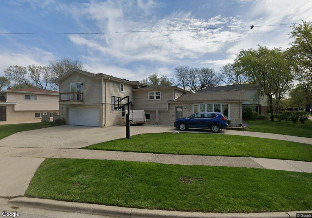
9001 Harms Rd Morton Grove, IL 60053
Estimated Value: $462,000 - $587,000
3
Beds
2
Baths
1,709
Sq Ft
$313/Sq Ft
Est. Value
About This Home
This home is located at 9001 Harms Rd, Morton Grove, IL 60053 and is currently estimated at $535,415, approximately $313 per square foot. 9001 Harms Rd is a home located in Cook County with nearby schools including Park View Elementary School, Niles West High School, and Arie Crown Hebrew Day School.
Create a Home Valuation Report for This Property
The Home Valuation Report is an in-depth analysis detailing your home's value as well as a comparison with similar homes in the area
Home Values in the Area
Average Home Value in this Area
Tax History Compared to Growth
Tax History
| Year | Tax Paid | Tax Assessment Tax Assessment Total Assessment is a certain percentage of the fair market value that is determined by local assessors to be the total taxable value of land and additions on the property. | Land | Improvement |
|---|---|---|---|---|
| 2024 | $10,696 | $43,000 | $8,368 | $34,632 |
| 2023 | $10,139 | $43,000 | $8,368 | $34,632 |
| 2022 | $10,139 | $43,000 | $8,368 | $34,632 |
| 2021 | $9,743 | $33,705 | $5,149 | $28,556 |
| 2020 | $9,555 | $33,705 | $5,149 | $28,556 |
| 2019 | $9,643 | $37,871 | $5,149 | $32,722 |
| 2018 | $9,194 | $32,574 | $4,666 | $27,908 |
| 2017 | $9,282 | $32,574 | $4,666 | $27,908 |
| 2016 | $9,013 | $32,574 | $4,666 | $27,908 |
| 2015 | $8,377 | $28,620 | $4,023 | $24,597 |
| 2014 | $8,386 | $28,620 | $4,023 | $24,597 |
| 2013 | $8,175 | $28,620 | $4,023 | $24,597 |
Source: Public Records
Map
Nearby Homes
- 5536 Greenwood St
- 5459 Suffield Ct
- 8918 Parkside Ave
- 5449 Arcadia St
- 5346 Suffield Terrace
- 5352 Greenwood St
- 5317 Suffield Ct
- 9234 Central Ave
- 8841 Menard Ave
- 5247 Suffield Ct
- 8708 Central Ave
- 9224 Menard Ave
- 5644 Lyons St
- 8836 Mansfield Ave
- 8655 Harms Rd
- 9314 Menard Ave
- 9320 Menard Ave
- 5309 Crain St
- 5128 Suffield Ct
- 8717 Gross Point Rd