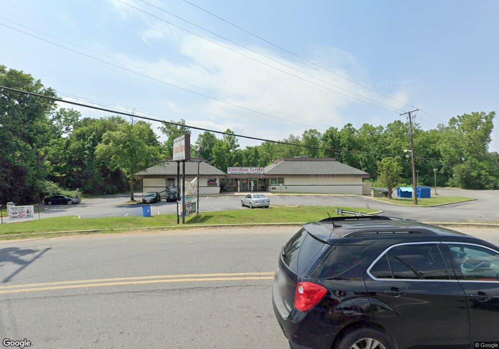
9001 Livingston Rd Fort Washington, MD 20744
Estimated Value: $2,332,692
--
Bed
--
Bath
8,613
Sq Ft
$271/Sq Ft
Est. Value
About This Home
This home is located at 9001 Livingston Rd, Fort Washington, MD 20744 and is currently estimated at $2,332,692, approximately $270 per square foot. 9001 Livingston Rd is a home located in Prince George's County with nearby schools including Indian Queen Elementary School, Oxon Hill Middle School, and Oxon Hill High School.
Ownership History
Date
Name
Owned For
Owner Type
Purchase Details
Closed on
Aug 23, 2021
Sold by
Mac Jim Inc
Bought by
Narmada Krupa Llc
Current Estimated Value
Home Financials for this Owner
Home Financials are based on the most recent Mortgage that was taken out on this home.
Original Mortgage
$1,700,000
Interest Rate
2.8%
Mortgage Type
Commercial
Purchase Details
Closed on
Aug 8, 1966
Bought by
Mac Jim Inc
Create a Home Valuation Report for This Property
The Home Valuation Report is an in-depth analysis detailing your home's value as well as a comparison with similar homes in the area
Home Values in the Area
Average Home Value in this Area
Purchase History
| Date | Buyer | Sale Price | Title Company |
|---|---|---|---|
| Narmada Krupa Llc | $2,015,000 | None Available | |
| Mac Jim Inc | $80,000 | -- |
Source: Public Records
Mortgage History
| Date | Status | Borrower | Loan Amount |
|---|---|---|---|
| Previous Owner | Narmada Krupa Llc | $1,700,000 |
Source: Public Records
Tax History Compared to Growth
Tax History
| Year | Tax Paid | Tax Assessment Tax Assessment Total Assessment is a certain percentage of the fair market value that is determined by local assessors to be the total taxable value of land and additions on the property. | Land | Improvement |
|---|---|---|---|---|
| 2025 | $30,605 | $1,994,233 | -- | -- |
| 2024 | $30,605 | $1,991,000 | $851,500 | $1,139,500 |
| 2023 | $30,579 | $1,991,000 | $851,500 | $1,139,500 |
| 2022 | $30,579 | $1,991,000 | $851,500 | $1,139,500 |
| 2021 | $30,922 | $2,014,100 | $851,500 | $1,162,600 |
| 2020 | $29,316 | $1,906,000 | $0 | $0 |
| 2019 | $25,746 | $1,797,900 | $0 | $0 |
| 2018 | $26,719 | $1,689,800 | $851,500 | $838,300 |
| 2017 | $25,241 | $1,640,067 | $0 | $0 |
| 2016 | -- | $1,590,333 | $0 | $0 |
| 2015 | $23,014 | $1,540,600 | $0 | $0 |
| 2014 | $23,014 | $1,535,433 | $0 | $0 |
Source: Public Records
Map
Nearby Homes
- 921 Palmer Rd
- 8768 Grasmere Ct
- 8707 Grasmere Ct
- 8644 Devon Hills Dr
- 1152 Windemere Ct
- 1498 Potomac Heights Dr Unit 140
- 8706 Devon Hills Dr Unit D
- 1456 Potomac Heights Dr Unit 145
- 1532 Potomac Heights Dr Unit 204
- 1470 Potomac Heights Dr Unit 126
- 1270 Palmer Rd Unit 92
- 8901 Oxon Hill Rd
- 8809 Oxon Hill Rd
- 9004 Mill Ct
- 210 Potomac Ridge Dr
- 9714 Old Fort Rd
- 8910 Palmer St
- 8308 Founders Terrace
- 0 Old Palmer Rd Unit MDPG2181376
- 8349 Founders Woods Way
- 9011 Livingston Rd
- 9100 Livingston Rd
- 9117 Livingston Rd
- 915 Palmer Rd
- 9116 Livingston Rd
- 9119 Livingston Rd
- 9121 Livingston Rd
- 909 Palmer Rd
- 9120 Livingston Rd
- 9200 Livingston Rd
- 9201 Livingston Rd
- 905 Palmer Rd
- 8808 Branchview Dr
- 8810 Branchview Dr
- 8812 Branchview Dr
- 8814 Branchview Dr
- 8900 Branchview Dr
- 933 Palmer Rd
- 8902 Branchview Dr
- 9208 Livingston Rd