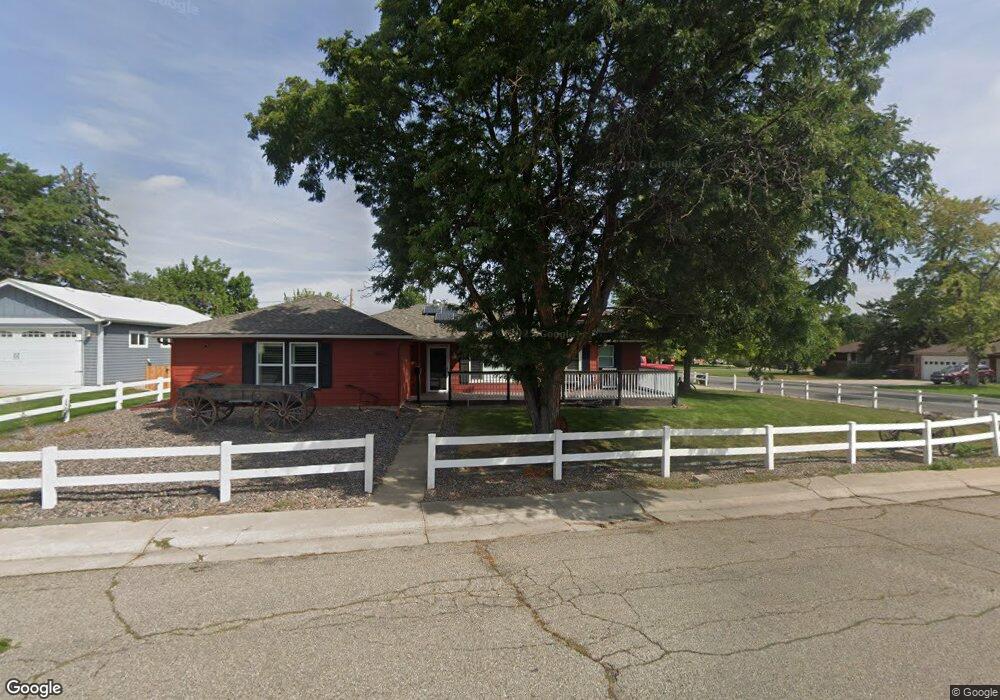
9001 W 55th Ave Arvada, CO 80002
Arvada Plaza Area NeighborhoodEstimated Value: $712,000 - $765,158
3
Beds
5
Baths
1,812
Sq Ft
$411/Sq Ft
Est. Value
About This Home
This home is located at 9001 W 55th Ave, Arvada, CO 80002 and is currently estimated at $745,290, approximately $411 per square foot. 9001 W 55th Ave is a home located in Jefferson County with nearby schools including Lawrence Elementary School, North Arvada Middle School, and Arvada High School.
Ownership History
Date
Name
Owned For
Owner Type
Purchase Details
Closed on
Nov 10, 2025
Sold by
Jefferson County Treasurer
Bought by
Perry Randy
Current Estimated Value
Purchase Details
Closed on
Dec 13, 2002
Sold by
Flohr Lillian L
Bought by
Berdahl Timothy B
Home Financials for this Owner
Home Financials are based on the most recent Mortgage that was taken out on this home.
Original Mortgage
$208,724
Interest Rate
6.05%
Mortgage Type
FHA
Create a Home Valuation Report for This Property
The Home Valuation Report is an in-depth analysis detailing your home's value as well as a comparison with similar homes in the area
Home Values in the Area
Average Home Value in this Area
Purchase History
| Date | Buyer | Sale Price | Title Company |
|---|---|---|---|
| Perry Randy | -- | None Listed On Document | |
| Berdahl Timothy B | -- | -- | |
| Berdahl Timothy B | $212,000 | -- |
Source: Public Records
Mortgage History
| Date | Status | Borrower | Loan Amount |
|---|---|---|---|
| Previous Owner | Berdahl Timothy B | $208,724 |
Source: Public Records
Tax History
| Year | Tax Paid | Tax Assessment Tax Assessment Total Assessment is a certain percentage of the fair market value that is determined by local assessors to be the total taxable value of land and additions on the property. | Land | Improvement |
|---|---|---|---|---|
| 2024 | $3,386 | $49,350 | $23,823 | $25,527 |
| 2023 | $3,386 | $34,912 | $23,823 | $11,089 |
| 2022 | $2,655 | $27,107 | $13,450 | $13,657 |
| 2021 | $2,699 | $27,887 | $13,837 | $14,050 |
| 2020 | $2,367 | $24,525 | $11,915 | $12,610 |
| 2019 | $2,335 | $24,525 | $11,915 | $12,610 |
| 2018 | $1,938 | $19,796 | $8,075 | $11,721 |
| 2017 | $1,774 | $19,796 | $8,075 | $11,721 |
| 2016 | $1,834 | $19,274 | $9,101 | $10,173 |
| 2015 | $1,403 | $19,274 | $9,101 | $10,173 |
| 2014 | $1,403 | $13,858 | $6,877 | $6,981 |
Source: Public Records
Map
Nearby Homes
- 8967 W 54th Place
- 5420 Garland St
- 8735 W 54th Place
- 5600 Dover St
- 9539 Grandview Ave
- 8500 Clara Belle Dr
- 9309 Highland Place
- 9300 W 53rd Place
- 5257 Estes Cir
- 9609 W 57th Ave
- 6455 Orn Ville Aly
- 9546 W 58th Ave Unit B
- 5890 Holland Ct Unit B
- 9457 W 58th Ave Unit B
- 9487 W 58th Ave Unit B
- 9487 W 58th Ave Unit A
- 5211 Dover St
- 8237 W 54th Ave Unit 2
- 5182 Estes Cir
- 5380 Johnson St
- 9011 W 55th Ave
- 5595 Field St
- 5500 Field St
- 9000 W 55th Ave
- 5550 Flower St
- 9090 Grandview Ave
- 9010 W 55th Ave
- 5490 Field St
- 8955 W 55th Ave
- 9005 Grandview Ave
- 8950 Grandview Ave
- 5445 Field Ct
- 9020 W 55th Ave
- 9009 Grandview Ave
- 8940 W 55th Ave
- 8920 Grandview Ave
- 5450 Field St
- 9011 Grandview Ave
- 5555 Flower St
- 9035 W 55th Ave
Your Personal Tour Guide
Ask me questions while you tour the home.