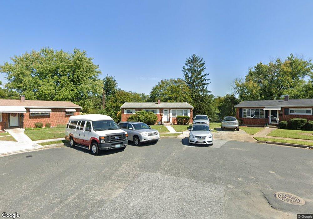
9002 Hamor Rd Randallstown, MD 21133
Estimated Value: $300,410 - $336,000
--
Bed
2
Baths
1,120
Sq Ft
$290/Sq Ft
Est. Value
About This Home
This home is located at 9002 Hamor Rd, Randallstown, MD 21133 and is currently estimated at $325,353, approximately $290 per square foot. 9002 Hamor Rd is a home located in Baltimore County with nearby schools including Randallstown Elementary School, Deer Park Middle Magnet School, and Randallstown High School.
Ownership History
Date
Name
Owned For
Owner Type
Purchase Details
Closed on
Jan 4, 1999
Sold by
Saxon Paul L
Bought by
Saxon Paul L and Saxon Annie S
Current Estimated Value
Purchase Details
Closed on
Sep 6, 1996
Sold by
Routhenstein Lawrence
Bought by
Saxon Paul L and Whiten Annie S
Purchase Details
Closed on
Jun 21, 1989
Sold by
Brenner Mark A
Bought by
Routhenstein Lawrence
Create a Home Valuation Report for This Property
The Home Valuation Report is an in-depth analysis detailing your home's value as well as a comparison with similar homes in the area
Home Values in the Area
Average Home Value in this Area
Purchase History
| Date | Buyer | Sale Price | Title Company |
|---|---|---|---|
| Saxon Paul L | -- | -- | |
| Saxon Paul L | $95,000 | -- | |
| Routhenstein Lawrence | $83,100 | -- |
Source: Public Records
Tax History Compared to Growth
Tax History
| Year | Tax Paid | Tax Assessment Tax Assessment Total Assessment is a certain percentage of the fair market value that is determined by local assessors to be the total taxable value of land and additions on the property. | Land | Improvement |
|---|---|---|---|---|
| 2025 | $3,391 | $228,467 | -- | -- |
| 2024 | $3,391 | $205,700 | $75,000 | $130,700 |
| 2023 | $1,642 | $194,933 | $0 | $0 |
| 2022 | $3,015 | $184,167 | $0 | $0 |
| 2021 | $2,893 | $173,400 | $57,000 | $116,400 |
| 2020 | $2,893 | $169,367 | $0 | $0 |
| 2019 | $2,699 | $165,333 | $0 | $0 |
| 2018 | $2,670 | $161,300 | $57,000 | $104,300 |
| 2017 | $2,526 | $154,933 | $0 | $0 |
| 2016 | $2,140 | $148,567 | $0 | $0 |
| 2015 | $2,140 | $142,200 | $0 | $0 |
| 2014 | $2,140 | $142,200 | $0 | $0 |
Source: Public Records
Map
Nearby Homes
- 9044 Allenswood Rd
- 3805 Terka Cir
- 3709 Fieldstone Rd
- 3714 Stoneybrook Rd
- 3510 Tali Dr
- 3816 Cassandra Rd
- 9202 Samoset Rd
- 3907 Roxanne Rd
- 3822 Cassandra Rd
- 3823 Cassandra Rd
- 3618 Briarstone Rd
- 9112 Meadow Heights Rd
- 3506 Bayer Ave
- 8829 Falcon Ridge Dr
- 9303 Samoset Rd
- 28 Sunrise Ct
- 3659 Brenbrook Dr
- 1205/99 Winands Rd
- 8808 Church Ln
- 9101 Amber Oaks Way
- 9000 Hamor Rd
- 9004 Hamor Rd
- 9001 Hamor Rd
- 9006 Hamor Rd
- 9003 Hamor Rd
- 9008 Hamor Rd
- 9005 Hamor Rd
- 9028 Allenswood Rd
- 9030 Allenswood Rd
- 9026 Allenswood Rd
- 9032 Allenswood Rd
- 3806 Brentford Rd
- 3808 Brentford Rd
- 4 Brentgate Ct
- 3804 Brentford Rd
- 3810 Brentford Rd
- 9013 Meadow Heights Rd
- 9011 Meadow Heights Rd
- 3802 Brentford Rd
- 9034 Allenswood Rd