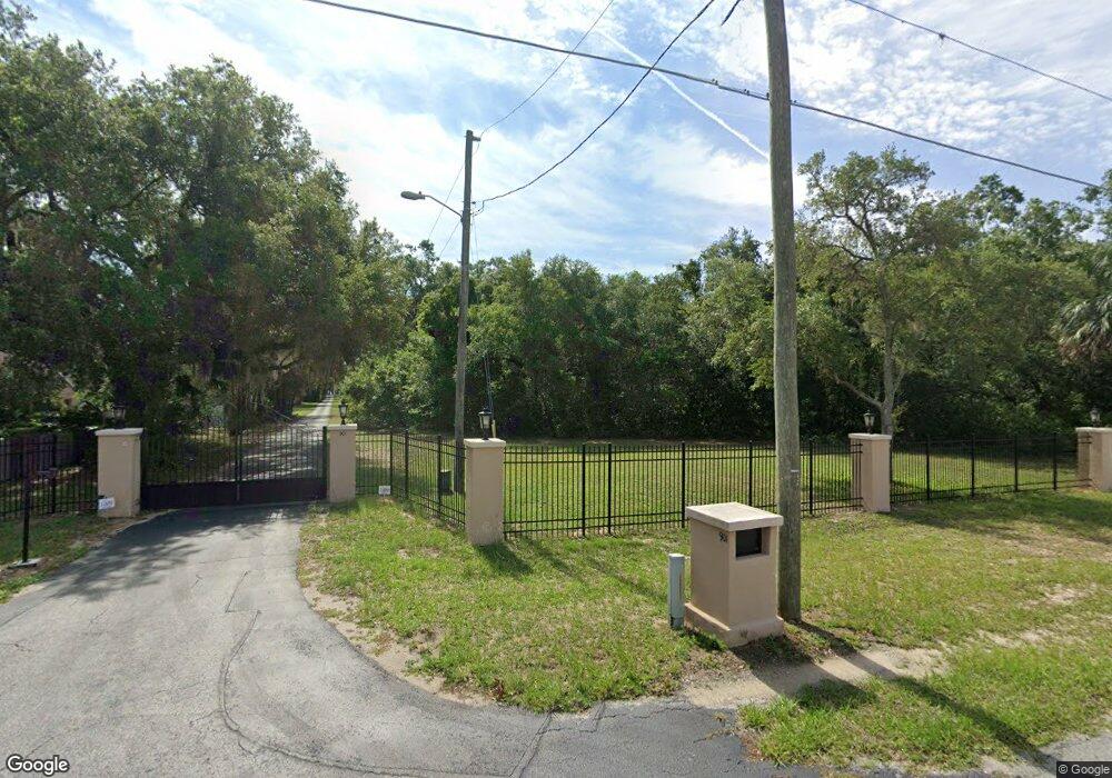
901 Abrams Rd Eustis, FL 32726
Estimated Value: $1,197,560 - $1,392,000
About This Home
This home is located at 901 Abrams Rd, Eustis, FL 32726 and is currently estimated at $1,303,520, approximately $186 per square foot. 901 Abrams Rd is a home located in Lake County with nearby schools including Triangle Elementary School, Eustis Middle School, and Eustis High School.
Ownership History
We collect this data history from publicly available records. To have your information removed, we recommend requesting removal directly through your county’s website.
Purchase Details
Home Financials for this Owner
Home Financials are based on the most recent Mortgage that was taken out on this home.Purchase Details
Home Financials for this Owner
Home Financials are based on the most recent Mortgage that was taken out on this home.Home Values in the Area
Average Home Value in this Area
Purchase History
We collect this data history from publicly available records. To have your information removed, we recommend requesting removal directly through your county’s website.
| Date | Buyer | Sale Price | Title Company |
|---|---|---|---|
| $570,000 | Dependable Title Svcs Fl Inc | ||
| $900,000 | -- |
Mortgage History
We collect this data history from publicly available records. To have your information removed, we recommend requesting removal directly through your county’s website.
| Date | Status | Borrower | Loan Amount |
|---|---|---|---|
| Open | $670,000 | ||
| Previous Owner | $630,000 |
Tax History
We collect this data history from publicly available records. To have your information removed, we recommend requesting removal directly through your county’s website.
| Year | Tax Paid | Tax Assessment Tax Assessment Total Assessment is a certain percentage of the fair market value that is determined by local assessors to be the total taxable value of land and additions on the property. | Land | Improvement |
|---|---|---|---|---|
| 2026 | $11,561 | $883,610 | -- | -- |
| 2025 | $10,935 | $859,540 | -- | -- |
| 2024 | $10,935 | $859,540 | -- | -- |
| 2023 | $10,935 | $810,210 | $0 | $0 |
| 2022 | $10,765 | $786,620 | $0 | $0 |
| 2021 | $10,376 | $763,710 | $0 | $0 |
| 2020 | $19,961 | $753,166 | $0 | $0 |
| 2019 | $10,897 | $736,233 | $0 | $0 |
| 2018 | $10,474 | $722,506 | $0 | $0 |
| 2017 | $10,267 | $707,646 | $0 | $0 |
| 2016 | $10,274 | $694,956 | $0 | $0 |
| 2015 | $11,064 | $684,580 | $0 | $0 |
| 2014 | $10,399 | $674,390 | $0 | $0 |
Map
- 710 Twin Oaks Ln
- 2825 Hardenbergh Ln
- 3101 Northwind Dr
- 1200 Marshall Ct
- 2936 Lake Joanna Dr
- 700 Kenmoore Ct
- 601 Arlington Ct
- 314 Woodland Dr
- 2681 Washington Ave Unit 18
- 34449 Parkview Ave
- 0 State Road 44 Unit MFRL4950491
- 0 Gables Dr Unit MFRO6380272
- 2201 E Washington Ave
- 2505 Carmel Ln
- 512 Highland Dr
- 201 W Blue Water Edge Dr
- 2209 Jennah Cir
- 60 Lakeshore Breeze Ct
- 303 W Blue Water Edge Dr
- 888 Marietta Ln
- 3017 Hardenbergh Ln
- 3015 Hardenbergh Ln
- 3021 Hardenbergh Ln
- 3011 Hardenbergh Ln
- 3124 Southwind Dr
- 3228 Southwind Dr
- 755 Sunrise Dr
- 3200 Parker Dr
- 747 Sunrise Dr
- 720 Twin Oaks Ln
- 2865 Hardenbergh Ln
- 733 Sunrise Dr
- 955 Abrams Rd
- 2857 Hardenbergh Ln
- 723 Sunrise Dr
- 2849 Hardenbergh Ln
- 3180 Parker Dr
- 2841 Hardenbergh Ln
- 702 Twin Oaks Ln
- 705 Twin Oaks Ln
Ask me questions while you tour the home.