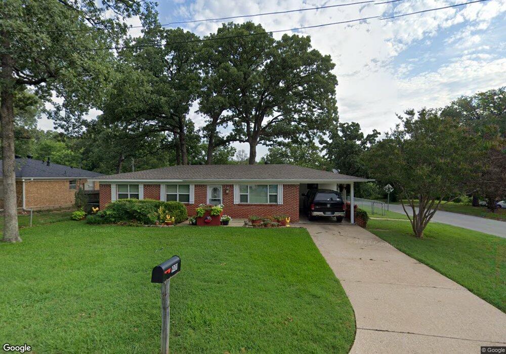
901 Amsden St Denison, TX 75020
Estimated Value: $179,078 - $208,000
--
Bed
--
Bath
1,092
Sq Ft
$177/Sq Ft
Est. Value
About This Home
This home is located at 901 Amsden St, Denison, TX 75020 and is currently estimated at $193,539, approximately $177 per square foot. 901 Amsden St is a home located in Grayson County with nearby schools including Scott Middle School, Denison High School, and St. Luke's Parish Day School.
Ownership History
Date
Name
Owned For
Owner Type
Purchase Details
Closed on
Mar 23, 2007
Sold by
Hunter Josh C and Hunter Sarah C
Bought by
Hunter Richad and Hunter Janet L
Current Estimated Value
Home Financials for this Owner
Home Financials are based on the most recent Mortgage that was taken out on this home.
Original Mortgage
$64,600
Interest Rate
6.26%
Mortgage Type
Purchase Money Mortgage
Purchase Details
Closed on
Nov 18, 2005
Sold by
Ausmus Martha
Bought by
Hunter Josh C and Hunter Sarah C
Home Financials for this Owner
Home Financials are based on the most recent Mortgage that was taken out on this home.
Original Mortgage
$68,000
Interest Rate
6.04%
Mortgage Type
Fannie Mae Freddie Mac
Create a Home Valuation Report for This Property
The Home Valuation Report is an in-depth analysis detailing your home's value as well as a comparison with similar homes in the area
Home Values in the Area
Average Home Value in this Area
Purchase History
| Date | Buyer | Sale Price | Title Company |
|---|---|---|---|
| Hunter Richad | -- | Grayson County Title | |
| Hunter Josh C | -- | -- |
Source: Public Records
Mortgage History
| Date | Status | Borrower | Loan Amount |
|---|---|---|---|
| Previous Owner | Hunter Richad | $64,600 | |
| Previous Owner | Hunter Josh C | $68,000 |
Source: Public Records
Tax History Compared to Growth
Tax History
| Year | Tax Paid | Tax Assessment Tax Assessment Total Assessment is a certain percentage of the fair market value that is determined by local assessors to be the total taxable value of land and additions on the property. | Land | Improvement |
|---|---|---|---|---|
| 2025 | $1,050 | $177,492 | -- | -- |
| 2024 | $3,749 | $161,356 | $0 | $0 |
| 2023 | $1,050 | $146,687 | $0 | $0 |
| 2022 | $3,168 | $133,352 | $0 | $0 |
| 2021 | $3,058 | $151,690 | $16,826 | $134,864 |
| 2020 | $2,617 | $137,301 | $12,812 | $124,489 |
| 2019 | $2,482 | $141,605 | $12,812 | $128,793 |
| 2018 | $2,275 | $117,367 | $10,847 | $106,520 |
| 2017 | $2,086 | $74,554 | $6,235 | $68,319 |
| 2016 | $2,075 | $74,174 | $6,235 | $67,939 |
| 2015 | $1,671 | $59,159 | $6,235 | $52,924 |
| 2014 | $1,582 | $56,007 | $6,235 | $49,772 |
Source: Public Records
Map
Nearby Homes
- 903 Seymore Cir
- 905 Seymore Cir
- 938 Amsden St
- 923 Dubois St
- 603 W Star St
- 3101 S College Blvd
- 700 Dubois St
- 711 Dubois St
- 701 W Star St
- 916 W Collins St
- 601 Dubois St
- 923 W Collins St
- 921 W Collins St
- 1130 Amsden Cir
- 919 W Collins St
- 608 W Baker St
- 611 W Baker St
- 607 W Baker St
- 614 W Collins St
- 3312 Vine Ln