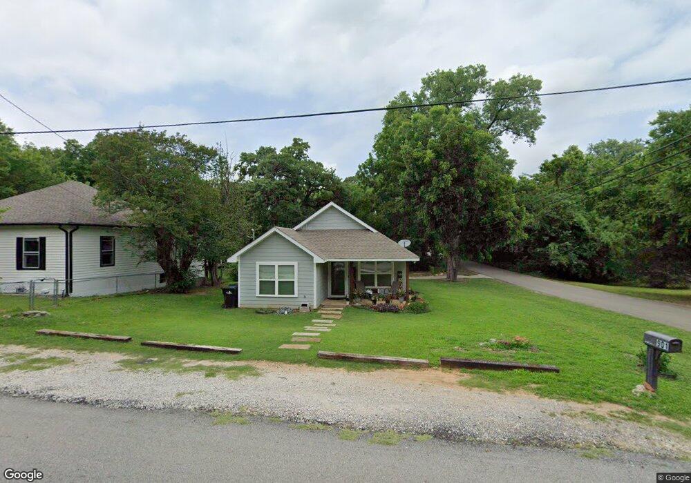
901 Baker St Denison, TX 75020
Estimated Value: $214,000 - $217,906
3
Beds
2
Baths
1,299
Sq Ft
$166/Sq Ft
Est. Value
About This Home
This home is located at 901 Baker St, Denison, TX 75020 and is currently estimated at $215,953, approximately $166 per square foot. 901 Baker St is a home located in Grayson County with nearby schools including Scott Middle School, Denison High School, and St. Luke's Parish Day School.
Ownership History
Date
Name
Owned For
Owner Type
Purchase Details
Closed on
Jun 29, 2023
Sold by
Power House Equity Partners Llc and Legend Contracting Inc
Bought by
Ic Investments Llc
Current Estimated Value
Purchase Details
Closed on
Dec 27, 2016
Sold by
Texan Platinum Homes Llc
Bought by
Hunt Eric Dwayne and Hunt Dawn Jamille
Home Financials for this Owner
Home Financials are based on the most recent Mortgage that was taken out on this home.
Original Mortgage
$112,917
Interest Rate
4.25%
Mortgage Type
FHA
Create a Home Valuation Report for This Property
The Home Valuation Report is an in-depth analysis detailing your home's value as well as a comparison with similar homes in the area
Home Values in the Area
Average Home Value in this Area
Purchase History
| Date | Buyer | Sale Price | Title Company |
|---|---|---|---|
| Ic Investments Llc | -- | Grayson County Title | |
| Hunt Eric Dwayne | -- | Red River Title Co |
Source: Public Records
Mortgage History
| Date | Status | Borrower | Loan Amount |
|---|---|---|---|
| Previous Owner | Hunt Eric Dwayne | $112,917 |
Source: Public Records
Tax History
| Year | Tax Paid | Tax Assessment Tax Assessment Total Assessment is a certain percentage of the fair market value that is determined by local assessors to be the total taxable value of land and additions on the property. | Land | Improvement |
|---|---|---|---|---|
| 2025 | $3,106 | $208,265 | -- | -- |
| 2024 | $4,399 | $189,332 | $0 | $0 |
| 2023 | $2,600 | $172,120 | $0 | $0 |
| 2022 | $3,718 | $156,473 | $0 | $0 |
| 2021 | $3,588 | $142,248 | $13,852 | $128,396 |
| 2020 | $3,739 | $141,736 | $10,389 | $131,347 |
| 2019 | $3,643 | $132,385 | $10,389 | $121,996 |
| 2018 | $3,343 | $120,514 | $5,956 | $114,558 |
| 2017 | $3,079 | $110,058 | $3,255 | $106,803 |
Source: Public Records
Map
Nearby Homes
- 916 W Collins St
- 603 W Star St
- 929 W Collins St
- 901 Dubois St
- 701 W Star St
- 711 Dubois St
- 1020 Rice St
- 611 W Baker St
- 618 Star St
- 614 Rice St
- 2931 S Barrett Ave
- 905 Seymore Cir
- 501 W Collins St
- 3101 S College Blvd
- 513 W Coffin St
- 1901 Woodlawn Blvd
- 509 W Coffin St
- 2526 S Fannin Ave Unit 2600
- 2000 S Fannin Ave
- 516 Forrest Ln
- 903 Baker St
- 903 W Baker St
- 905 W Baker St
- 905 Baker St
- 2628 S Scullin Ave
- TBD (923) W Baker St
- 000 W Baker St
- TBD W Baker St
- 913 W Baker St
- 2601 S Scullin Ave
- 917 Baker St
- 827 Baker St
- 900 Baker St
- 910 W Baker St
- 2700 S Scullin Ave
- 912 W Baker St
- 919 Baker St
- 914 W Baker St
- TBD W Collins St
- 920 W Collins St
Your Personal Tour Guide
Ask me questions while you tour the home.