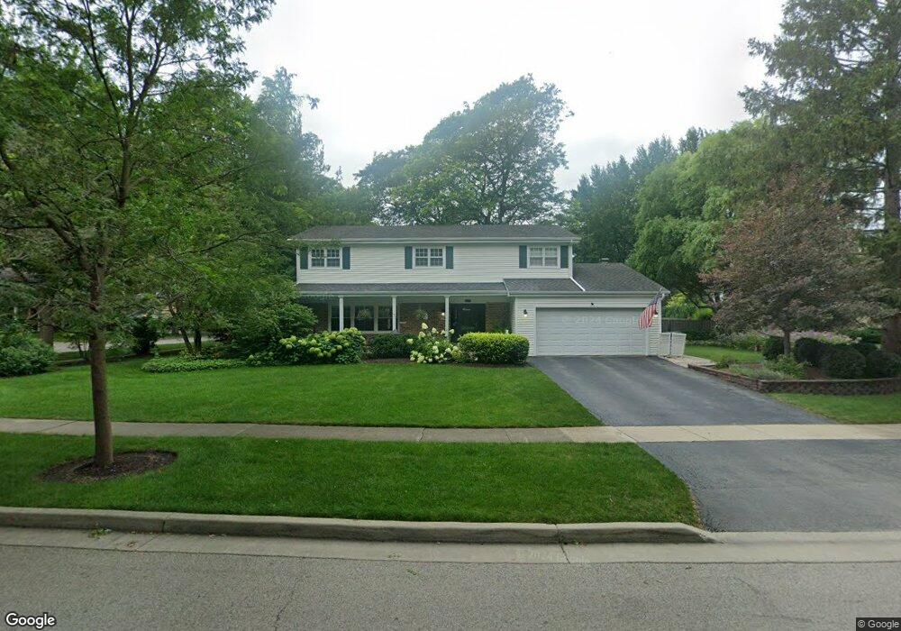
901 Crestfield Ave Libertyville, IL 60048
South Libertyville NeighborhoodEstimated Value: $641,000 - $664,000
--
Bed
3
Baths
2,475
Sq Ft
$265/Sq Ft
Est. Value
About This Home
This home is located at 901 Crestfield Ave, Libertyville, IL 60048 and is currently estimated at $654,967, approximately $264 per square foot. 901 Crestfield Ave is a home located in Lake County with nearby schools including Rockland Elementary School, Highland Middle School, and Libertyville High School.
Ownership History
Date
Name
Owned For
Owner Type
Purchase Details
Closed on
Mar 15, 1999
Sold by
Cole Taylor Bank
Bought by
Copeland Alan L and Copeland Marilyn M
Current Estimated Value
Home Financials for this Owner
Home Financials are based on the most recent Mortgage that was taken out on this home.
Original Mortgage
$200,000
Interest Rate
7.04%
Create a Home Valuation Report for This Property
The Home Valuation Report is an in-depth analysis detailing your home's value as well as a comparison with similar homes in the area
Home Values in the Area
Average Home Value in this Area
Purchase History
| Date | Buyer | Sale Price | Title Company |
|---|---|---|---|
| Copeland Alan L | $250,000 | -- |
Source: Public Records
Mortgage History
| Date | Status | Borrower | Loan Amount |
|---|---|---|---|
| Previous Owner | Copeland Alan L | $200,000 |
Source: Public Records
Tax History Compared to Growth
Tax History
| Year | Tax Paid | Tax Assessment Tax Assessment Total Assessment is a certain percentage of the fair market value that is determined by local assessors to be the total taxable value of land and additions on the property. | Land | Improvement |
|---|---|---|---|---|
| 2024 | $13,166 | $206,900 | $66,439 | $140,461 |
| 2023 | $13,166 | $190,832 | $61,279 | $129,553 |
| 2022 | $12,117 | $162,503 | $58,900 | $103,603 |
| 2021 | $11,656 | $159,005 | $57,632 | $101,373 |
| 2020 | $11,211 | $156,332 | $56,663 | $99,669 |
| 2019 | $10,934 | $154,845 | $56,124 | $98,721 |
| 2018 | $10,450 | $148,275 | $54,799 | $93,476 |
| 2017 | $10,304 | $143,594 | $53,069 | $90,525 |
| 2016 | $9,960 | $136,147 | $50,317 | $85,830 |
| 2015 | $9,867 | $127,252 | $47,030 | $80,222 |
| 2014 | $9,669 | $122,376 | $44,190 | $78,186 |
| 2012 | $9,338 | $123,437 | $44,573 | $78,864 |
Source: Public Records
Map
Nearby Homes
- 777 Garfield Ave Unit A
- 533 Drake St
- 747 Garfield Ave Unit C
- 1017 Juniper Pkwy
- 0 Ames St
- 851 Garfield Ave Unit C
- 323 W Golf Rd
- 423 Ames St
- 501 Hemlock Ln
- 2245 Hazeltime Dr
- 1137 Pine Tree Ln
- 1330 W Park Ave
- 551 W Park Ave Unit E
- 164 W Golf Rd Unit A
- 20924 & 20902 W Park Ave
- 422 Shadow Creek Dr
- 308 Mckinley Ave
- 1754 Glenmore Rd
- 223 Kenloch Ave
- 1969 Royal Birkdale Dr
- 904 Fairlawn Ave Unit 3
- 905 Crestfield Ave
- 820 Crestfield Ave
- 910 Fairlawn Ave
- 903 Fairlawn Ave
- 833 Fairlawn Ave
- 911 Crestfield Ave
- 916 Fairlawn Ave
- 827 Fairlawn Ave
- 909 Fairlawn Ave
- 828 Crestfield Ave
- 917 Crestfield Ave Unit 3
- 629 Dawes St
- 627 Dawes St
- 821 Fairlawn Ave
- 915 Fairlawn Ave
- 900 Crestfield Ave
- 824 Pembrooke Rd
- 922 Fairlawn Ave
- 625 Dawes St