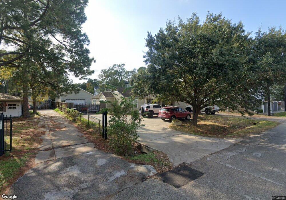
901 Curtin St Houston, TX 77018
Oak Forest-Garden Oaks NeighborhoodEstimated Value: $460,000 - $862,000
3
Beds
2
Baths
1,626
Sq Ft
$439/Sq Ft
Est. Value
About This Home
This home is located at 901 Curtin St, Houston, TX 77018 and is currently estimated at $714,553, approximately $439 per square foot. 901 Curtin St is a home located in Harris County with nearby schools including Durham Elementary School, Frank Black Middle School, and Waltrip High School.
Ownership History
Date
Name
Owned For
Owner Type
Purchase Details
Closed on
Jan 20, 2011
Sold by
Johnson Beatrice
Bought by
Ryan Gerald A
Current Estimated Value
Home Financials for this Owner
Home Financials are based on the most recent Mortgage that was taken out on this home.
Original Mortgage
$132,000
Outstanding Balance
$90,251
Interest Rate
4.84%
Mortgage Type
Purchase Money Mortgage
Estimated Equity
$624,302
Create a Home Valuation Report for This Property
The Home Valuation Report is an in-depth analysis detailing your home's value as well as a comparison with similar homes in the area
Home Values in the Area
Average Home Value in this Area
Purchase History
| Date | Buyer | Sale Price | Title Company |
|---|---|---|---|
| Ryan Gerald A | -- | Startex Title Company |
Source: Public Records
Mortgage History
| Date | Status | Borrower | Loan Amount |
|---|---|---|---|
| Open | Ryan Gerald A | $132,000 |
Source: Public Records
Tax History Compared to Growth
Tax History
| Year | Tax Paid | Tax Assessment Tax Assessment Total Assessment is a certain percentage of the fair market value that is determined by local assessors to be the total taxable value of land and additions on the property. | Land | Improvement |
|---|---|---|---|---|
| 2025 | $18,831 | $998,459 | $871,416 | $127,043 |
| 2024 | $18,831 | $900,000 | $767,676 | $132,324 |
| 2023 | $18,831 | $769,858 | $663,936 | $105,922 |
| 2022 | $15,850 | $719,853 | $622,440 | $97,413 |
| 2021 | $15,273 | $655,325 | $580,944 | $74,381 |
| 2020 | $14,300 | $590,506 | $477,204 | $113,302 |
| 2019 | $12,260 | $484,518 | $352,716 | $131,802 |
| 2018 | $11,648 | $460,318 | $248,976 | $211,342 |
| 2017 | $9,305 | $368,000 | $124,488 | $243,512 |
| 2016 | $9,305 | $368,000 | $124,488 | $243,512 |
| 2015 | $8,489 | $392,218 | $124,488 | $267,730 |
| 2014 | $8,489 | $330,212 | $124,488 | $205,724 |
Source: Public Records
Map
Nearby Homes
- 4510 Curtin Park Ct
- 535 Azaleadell Dr
- 817 Thornton Rd Unit G
- 814 Azalea St
- 739 Azaleadell Dr
- 9388 Plan at Thornton Oaks
- 9384 Plan at Thornton Oaks
- 812 Thornton Rd Unit B
- 811 Thornton Rd Unit B
- 830 Azalea St
- 752 Curtin St
- 750 Curtin St
- 748 Curtin St
- 744 Curtin St
- 742 Curtin St
- 702 Azaleadell Dr
- 991 Curtin St
- 719 Thornton Rd Unit B
- 719 Thornton Rd Unit E
- 719 Thornton Rd Unit A
- 4526 Curtin Park Ct
- 4524 Curtin Park Ct
- 4528 Curtin Park Ct
- 4522 Curtin Park Ct
- 4530 Curtin Park Ct
- 4520 Curtin Park Ct
- 4518 Curtin Park Ct
- 4516 Curtin Park Ct
- 831 Curtin St
- 831 N Curtin St
- 4514 Curtin Park Ct
- 4512 Curtin Park Ct
- 912 Curtin Ave
- 921 Curtin St
- 825 Curtin St
- 832 Curtin St
- 4506 Curtin Park Ct
- 920 Curtin St
- 4504 Curtin Park Ct
- 826 Curtin St