901 Devries Rd Oak Harbor, WA 98277
Estimated Value: $894,000 - $1,131,453
3
Beds
4
Baths
3,574
Sq Ft
$281/Sq Ft
Est. Value
About This Home
This home is located at 901 Devries Rd, Oak Harbor, WA 98277 and is currently estimated at $1,004,363, approximately $281 per square foot. 901 Devries Rd is a home located in Island County with nearby schools including Crescent Harbor Elementary School, North Whidbey Middle School, and Oak Harbor High School.
Ownership History
Date
Name
Owned For
Owner Type
Purchase Details
Closed on
Jun 1, 2004
Sold by
Alford A J
Bought by
Bressler Harold and Bressler Christine
Current Estimated Value
Home Financials for this Owner
Home Financials are based on the most recent Mortgage that was taken out on this home.
Original Mortgage
$300,000
Outstanding Balance
$156,117
Interest Rate
5.99%
Mortgage Type
Purchase Money Mortgage
Estimated Equity
$848,246
Purchase Details
Closed on
Dec 22, 2003
Sold by
Nienhuis Duane H and Nienhuis Eva M
Bought by
Bressler Harold and Bressler Christine
Create a Home Valuation Report for This Property
The Home Valuation Report is an in-depth analysis detailing your home's value as well as a comparison with similar homes in the area
Purchase History
| Date | Buyer | Sale Price | Title Company |
|---|---|---|---|
| Bressler Harold | -- | Chicago Title Co Island Div | |
| Bressler Harold | $107,500 | First Amer Title Island Cnty |
Source: Public Records
Mortgage History
| Date | Status | Borrower | Loan Amount |
|---|---|---|---|
| Open | Bressler Harold | $300,000 |
Source: Public Records
Tax History
| Year | Tax Paid | Tax Assessment Tax Assessment Total Assessment is a certain percentage of the fair market value that is determined by local assessors to be the total taxable value of land and additions on the property. | Land | Improvement |
|---|---|---|---|---|
| 2025 | $7,796 | $1,141,683 | $340,000 | $801,683 |
| 2024 | $7,677 | $1,110,977 | $300,000 | $810,977 |
| 2023 | $7,677 | $1,100,272 | $280,000 | $820,272 |
| 2022 | $8,774 | $1,004,350 | $270,000 | $734,350 |
| 2021 | $8,527 | $855,888 | $210,000 | $645,888 |
| 2020 | $7,744 | $830,129 | $200,000 | $630,129 |
| 2019 | $6,819 | $759,897 | $250,000 | $509,897 |
| 2018 | $7,535 | $731,310 | $220,000 | $511,310 |
| 2017 | $6,697 | $714,133 | $200,000 | $514,133 |
| 2016 | $6,789 | $679,095 | $170,000 | $509,095 |
| 2015 | -- | $664,095 | $155,000 | $509,095 |
| 2013 | -- | $679,095 | $170,000 | $509,095 |
Source: Public Records
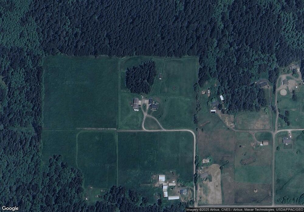
Map
Nearby Homes
- 744 Spitfire Ln
- 3812 Emory Trail
- 3360 Green Rd
- 710 E Bay Front Ln
- 985 Lyndean Ln
- 3100 Taylor Rd Unit 1-5
- 4 E Maplewood Loop
- 546 Birch St
- 539 Birch St
- 1419 Blackberry Ln
- 0 W Frostad Rd
- 2579 Green Acres Ln
- 0 XXX Seahorse Ln
- 2725 Hunt Rd
- 453 E Jackrabbit Ln
- 0 Old Polnell Rd
- 3234 Whitney Dr
- 222 Moonstone Place
- 4486 Villarreal Ln
- 120 W Crescent Harbor Rd
- 925 Doyle Ln
- 905 Devries Rd
- 907 Devries Rd
- 903 Devries Rd
- 949 Doyle Ln
- 950 Doyle Ln
- 847 Nida Dr
- 889 Nida Dr
- 833 Nida Dr
- 955 Doyle Ln
- 0 Devries St Unit 671447
- 887 Frontier Ln
- 954 E Doyle Ln
- 0 De Vries Rd Unit 65768
- 9 Devries Rd
- 3350 N Altair Place
- 3390 Altair Place
- 987 Devries Rd
- 888 Frontier Ln
- 854 Devries Rd
Your Personal Tour Guide
Ask me questions while you tour the home.