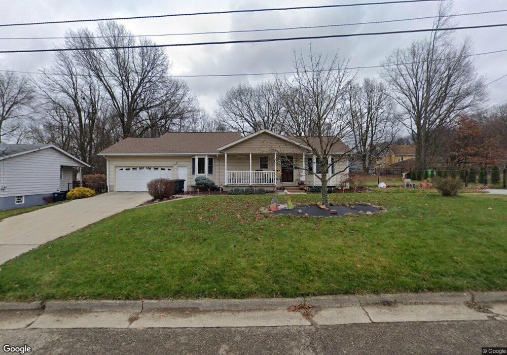
901 Diana Ave Akron, OH 44307
Sherbondy Hill NeighborhoodEstimated Value: $130,000 - $230,000
4
Beds
3
Baths
2,546
Sq Ft
$68/Sq Ft
Est. Value
About This Home
This home is located at 901 Diana Ave, Akron, OH 44307 and is currently estimated at $172,656, approximately $67 per square foot. 901 Diana Ave is a home located in Summit County with nearby schools including Emmanuel Christian Academy.
Ownership History
Date
Name
Owned For
Owner Type
Purchase Details
Closed on
Mar 14, 2019
Sold by
Summit County Land Reutilization Corp
Bought by
Williams Flora M and Spidell Nathan E
Current Estimated Value
Purchase Details
Closed on
Jul 11, 2017
Sold by
Gamble Flora M and Williams Flora M
Bought by
Williams Flora and Spidell Nathan E
Purchase Details
Closed on
Feb 16, 2011
Sold by
Gamble Bernice M
Bought by
Gamble Flora M
Purchase Details
Closed on
May 7, 2001
Sold by
Gamble Bernice M
Bought by
Gamble Bernice M and Gamble Flora M
Create a Home Valuation Report for This Property
The Home Valuation Report is an in-depth analysis detailing your home's value as well as a comparison with similar homes in the area
Home Values in the Area
Average Home Value in this Area
Purchase History
| Date | Buyer | Sale Price | Title Company |
|---|---|---|---|
| Williams Flora M | -- | None Available | |
| Williams Flora | -- | None Available | |
| Gamble Flora M | -- | None Available | |
| Gamble Bernice M | -- | -- |
Source: Public Records
Tax History
| Year | Tax Paid | Tax Assessment Tax Assessment Total Assessment is a certain percentage of the fair market value that is determined by local assessors to be the total taxable value of land and additions on the property. | Land | Improvement |
|---|---|---|---|---|
| 2024 | $2,021 | $34,776 | $7,910 | $26,866 |
| 2023 | $2,021 | $34,776 | $7,910 | $26,866 |
| 2022 | $1,598 | $20,839 | $4,655 | $16,184 |
| 2021 | $1,599 | $20,839 | $4,655 | $16,184 |
| 2020 | $1,578 | $20,840 | $4,660 | $16,180 |
| 2019 | $1,971 | $24,490 | $7,360 | $17,130 |
| 2018 | $1,846 | $24,130 | $7,000 | $17,130 |
| 2017 | $1,900 | $24,130 | $7,000 | $17,130 |
| 2016 | $1,901 | $24,500 | $7,000 | $17,500 |
| 2015 | $1,900 | $24,500 | $7,000 | $17,500 |
| 2014 | $1,885 | $24,500 | $7,000 | $17,500 |
| 2013 | $2,037 | $27,230 | $7,000 | $20,230 |
Source: Public Records
Map
Nearby Homes
- 1225 Belleflower Rd
- 985 Diana Ave
- 776 Krause Ct
- VL Mercer Ave
- 732 Vernon Odom Blvd
- 777 Ruth Ave
- 1296 Harmon Ave
- 1088 Packard Dr
- 628 Bellevue Ave
- 849 East Ave
- 892-894 Storer Ave
- 692 W Thornton St
- 1021 La Croix Ave
- 615 Noah Ave
- 934 Packard Dr
- 1188 Hardesty Blvd
- 994 Moeller Ave
- 939 Lane St
- 1331 Sunrise Dr
- 942 Winton Ave
- 893 Diana Ave
- 887 Diana Ave
- 0
- 835 Bisson Ave Unit 837
- 835 837 Bisson Ave
- 883 Diana Ave
- 831 Bisson Ave
- 915 Diana Ave
- 1110 Belleflower Rd
- 823 Bisson Ave
- 819 Bisson Ave
- 1116 Belleflower Rd
- 861 Bisson Ave
- 834 Bellevue Ave
- 828 Bellevue Ave
- 842 Bellevue Ave
- 822 Bellevue Ave
- 1123 Belleflower Rd
- 1120 Belleflower Rd
- 844 Bellevue Ave
Your Personal Tour Guide
Ask me questions while you tour the home.