901 Driver Rd Marriottsville, MD 21104
Estimated Value: $695,000 - $865,000
--
Bed
3
Baths
2,377
Sq Ft
$325/Sq Ft
Est. Value
About This Home
This home is located at 901 Driver Rd, Marriottsville, MD 21104 and is currently estimated at $773,400, approximately $325 per square foot. 901 Driver Rd is a home located in Howard County with nearby schools including West Friendship Elementary School, Mount View Middle School, and Marriotts Ridge High School.
Ownership History
Date
Name
Owned For
Owner Type
Purchase Details
Closed on
Jan 17, 2016
Sold by
Ingram Willaim H
Bought by
Ingram William H and William H Ingtam Revocable Tru
Current Estimated Value
Purchase Details
Closed on
Feb 21, 1990
Sold by
Kelso Edward C
Bought by
Ingram William H
Home Financials for this Owner
Home Financials are based on the most recent Mortgage that was taken out on this home.
Original Mortgage
$176,000
Interest Rate
10.1%
Create a Home Valuation Report for This Property
The Home Valuation Report is an in-depth analysis detailing your home's value as well as a comparison with similar homes in the area
Home Values in the Area
Average Home Value in this Area
Purchase History
| Date | Buyer | Sale Price | Title Company |
|---|---|---|---|
| Ingram William H | -- | None Available | |
| Ingram William H | $220,000 | -- |
Source: Public Records
Mortgage History
| Date | Status | Borrower | Loan Amount |
|---|---|---|---|
| Closed | Ingram William H | $176,000 |
Source: Public Records
Tax History Compared to Growth
Tax History
| Year | Tax Paid | Tax Assessment Tax Assessment Total Assessment is a certain percentage of the fair market value that is determined by local assessors to be the total taxable value of land and additions on the property. | Land | Improvement |
|---|---|---|---|---|
| 2025 | $8,937 | $655,800 | $0 | $0 |
| 2024 | $8,937 | $610,000 | $258,900 | $351,100 |
| 2023 | $8,624 | $598,733 | $0 | $0 |
| 2022 | $8,432 | $587,467 | $0 | $0 |
| 2021 | $8,090 | $576,200 | $242,700 | $333,500 |
| 2020 | $8,090 | $562,300 | $0 | $0 |
| 2019 | $7,901 | $548,400 | $0 | $0 |
| 2018 | $7,319 | $534,500 | $216,200 | $318,300 |
| 2017 | $7,178 | $534,500 | $0 | $0 |
| 2016 | -- | $516,833 | $0 | $0 |
| 2015 | -- | $508,000 | $0 | $0 |
| 2014 | -- | $508,000 | $0 | $0 |
Source: Public Records
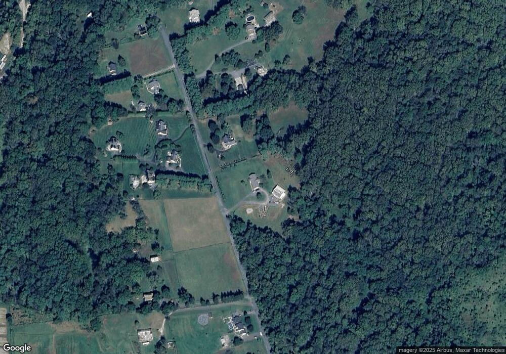
Map
Nearby Homes
- 1725 Marriottsville Rd
- 1800 Mount Denali Dr
- 1795 Marriottsville Rd
- 1060 Henryton Rd
- 10719 Old Court Rd
- 10628 Saint Paul Ave
- 11100 Chambers Ct Unit C
- 11100 Chambers Ct Unit F
- 11120 Chambers Ct Unit Q
- 11130 Chambers Ct Unit H
- 11150 Chambers Ct Unit H
- 11180 Chambers Ct Unit E
- 10645 Davis Ave
- 10313 Cavey Ln
- 2241 John Gravel Rd Unit M
- 2231 John Gravel Rd Unit L
- 1336 Crows Foot Rd
- 2218 Bromley Ct
- 3904 Wards Chapel Rd
- 2350 Adam David Way