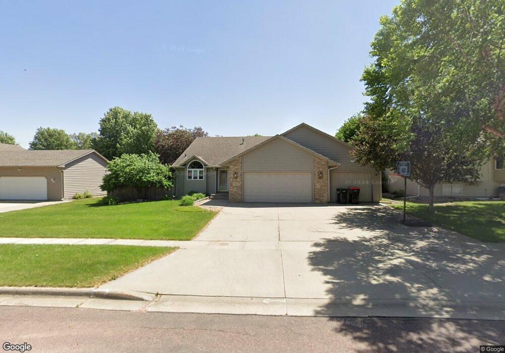
901 E Maywood St Brandon, SD 57005
Estimated Value: $374,000 - $388,000
4
Beds
3
Baths
2,014
Sq Ft
$190/Sq Ft
Est. Value
About This Home
This home is located at 901 E Maywood St, Brandon, SD 57005 and is currently estimated at $381,951, approximately $189 per square foot. 901 E Maywood St is a home located in Minnehaha County with nearby schools including Brandon Elementary School, Brandon Valley Middle School, and Brandon Valley Intermediate School.
Ownership History
Date
Name
Owned For
Owner Type
Purchase Details
Closed on
Oct 20, 2022
Sold by
Buri Mary A
Bought by
Urban Chad and Urban Robyn
Current Estimated Value
Home Financials for this Owner
Home Financials are based on the most recent Mortgage that was taken out on this home.
Original Mortgage
$284,925
Outstanding Balance
$275,379
Interest Rate
6.7%
Estimated Equity
$106,572
Create a Home Valuation Report for This Property
The Home Valuation Report is an in-depth analysis detailing your home's value as well as a comparison with similar homes in the area
Home Values in the Area
Average Home Value in this Area
Purchase History
| Date | Buyer | Sale Price | Title Company |
|---|---|---|---|
| Urban Chad | $380,000 | Getty Abstract & Title Co | |
| Urban Chad | $380,000 | Getty Abstract & Title Co |
Source: Public Records
Mortgage History
| Date | Status | Borrower | Loan Amount |
|---|---|---|---|
| Open | Urban Chad | $284,925 | |
| Closed | Urban Chad | $284,925 |
Source: Public Records
Tax History
| Year | Tax Paid | Tax Assessment Tax Assessment Total Assessment is a certain percentage of the fair market value that is determined by local assessors to be the total taxable value of land and additions on the property. | Land | Improvement |
|---|---|---|---|---|
| 2024 | $4,610 | $342,700 | $39,000 | $303,700 |
| 2023 | $4,565 | $322,000 | $30,300 | $291,700 |
| 2022 | $4,016 | $266,800 | $30,300 | $236,500 |
| 2021 | $3,674 | $235,000 | $0 | $0 |
| 2020 | $3,674 | $228,000 | $0 | $0 |
| 2019 | $3,638 | $221,202 | $0 | $0 |
| 2018 | $3,206 | $209,742 | $0 | $0 |
| 2017 | $3,211 | $193,464 | $26,880 | $166,584 |
| 2016 | $3,211 | $190,435 | $26,880 | $163,555 |
| 2015 | $3,205 | $182,458 | $24,960 | $157,498 |
| 2014 | $3,044 | $173,387 | $24,960 | $148,427 |
Source: Public Records
Map
Nearby Homes
- 913 Maywood St
- 716 Magnolia Dr
- 901 Pine St
- 412 9th Ave
- 410 9th Ave
- 501 Pasque Flower Trail
- 505 Pasque Flower Trail
- 416 E Cairos Place
- 412 E Cairos Place
- 412 Meadowlark Cir
- 109 S Peaceful Ave Ave
- 1216 W Rivulet St St
- 216 Tabor Ct
- 1212 W Rivulet St St
- 101 Pipestone St Unit 2
- 101 Pipestone St Unit 4
- 705 Sapphire Cir
- 1916 Sylvan Cir
- 600 N Yellowstone Dr
- 801 Sapphire Cir
- 901 Maywood St
- 905 Maywood St
- 817 Maywood St
- 813 Maywood St
- 909 Maywood St
- 900 Maywood St
- 904 Maywood St
- 900 E Maywood St
- 904 E Keystone Cir
- 820 Maywood St
- 904 E Maywood St
- 908 Keystone Cir
- 816 Heatherwood Cir
- 820 Heatherwood Cir
- 908 Maywood St
- 809 Maywood St
- 816 Maywood St
- 904 Keystone Cir
- 908 E Maywood St
- 912 Keystone Cir
Your Personal Tour Guide
Ask me questions while you tour the home.