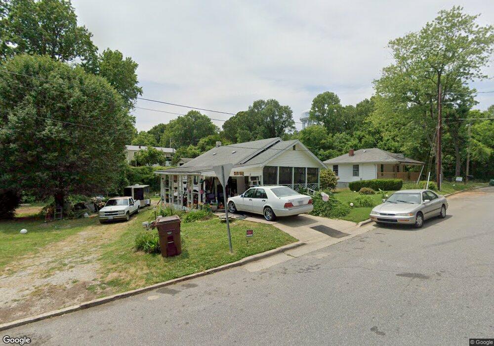
901 Forrest St High Point, NC 27262
Greater High Point NeighborhoodEstimated Value: $106,562 - $147,000
2
Beds
1
Bath
805
Sq Ft
$159/Sq Ft
Est. Value
About This Home
This home is located at 901 Forrest St, High Point, NC 27262 and is currently estimated at $127,891, approximately $158 per square foot. 901 Forrest St is a home located in Guilford County with nearby schools including Kirkman Park Elementary School, Penn-Griffin School for the Arts, and T.W. Andrews High School.
Ownership History
Date
Name
Owned For
Owner Type
Purchase Details
Closed on
Feb 24, 2006
Sold by
Duggan Sean Lawson and Duggan Dawn Michelle
Bought by
Pearson Martha
Current Estimated Value
Home Financials for this Owner
Home Financials are based on the most recent Mortgage that was taken out on this home.
Original Mortgage
$61,900
Outstanding Balance
$41,403
Interest Rate
9.5%
Mortgage Type
Fannie Mae Freddie Mac
Estimated Equity
$86,488
Purchase Details
Closed on
Jul 7, 2003
Sold by
Simmons Bruce and Simmons Kathleen H
Bought by
Duggan Sean L
Home Financials for this Owner
Home Financials are based on the most recent Mortgage that was taken out on this home.
Original Mortgage
$58,006
Interest Rate
5.29%
Mortgage Type
Purchase Money Mortgage
Create a Home Valuation Report for This Property
The Home Valuation Report is an in-depth analysis detailing your home's value as well as a comparison with similar homes in the area
Home Values in the Area
Average Home Value in this Area
Purchase History
| Date | Buyer | Sale Price | Title Company |
|---|---|---|---|
| Pearson Martha | $62,000 | None Available | |
| Duggan Sean L | $60,000 | -- |
Source: Public Records
Mortgage History
| Date | Status | Borrower | Loan Amount |
|---|---|---|---|
| Open | Pearson Martha | $61,900 | |
| Previous Owner | Duggan Sean L | $58,006 |
Source: Public Records
Tax History
| Year | Tax Paid | Tax Assessment Tax Assessment Total Assessment is a certain percentage of the fair market value that is determined by local assessors to be the total taxable value of land and additions on the property. | Land | Improvement |
|---|---|---|---|---|
| 2025 | $489 | $35,500 | $12,000 | $23,500 |
| 2024 | $489 | $35,500 | $12,000 | $23,500 |
| 2023 | $489 | $35,500 | $12,000 | $23,500 |
| 2022 | $479 | $35,500 | $12,000 | $23,500 |
| 2021 | $397 | $28,800 | $5,000 | $23,800 |
| 2020 | $397 | $28,800 | $5,000 | $23,800 |
| 2019 | $397 | $28,800 | $0 | $0 |
| 2018 | $395 | $28,800 | $0 | $0 |
| 2017 | $395 | $28,800 | $0 | $0 |
| 2016 | $515 | $36,700 | $0 | $0 |
| 2015 | $517 | $36,700 | $0 | $0 |
| 2014 | $526 | $36,700 | $0 | $0 |
Source: Public Records
Map
Nearby Homes
- 721 Forrest St
- 719 Forrest St
- 702 E Farriss Ave
- 916 Forrest St
- 511 E Farriss Ave
- 801 E Lexington Ave
- 910 E Dayton Ave
- 1108 Forrest St
- 1110 Forrest St
- 1310 Madison St
- 501 4th St
- 1102 Johnson St
- 1428 Futrelle Dr
- 837 Willow Place
- 613 Woodridge Ln
- 1203 N Main St Unit F
- 844 Willow Place
- 503 Richardson Ave
- 1129 Bridges Dr
- 1507 Larkin St
Your Personal Tour Guide
Ask me questions while you tour the home.