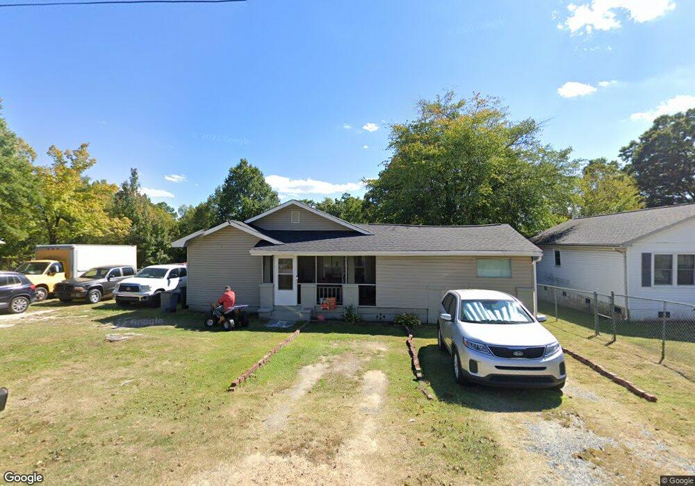
901 Franklin St Thomasville, NC 27360
Estimated Value: $110,000 - $214,000
3
Beds
1
Bath
1,903
Sq Ft
$86/Sq Ft
Est. Value
About This Home
This home is located at 901 Franklin St, Thomasville, NC 27360 and is currently estimated at $162,753, approximately $85 per square foot. 901 Franklin St is a home located in Davidson County with nearby schools including Thomasville Primary School, Liberty Drive Elementary School, and Thomasville Middle School.
Ownership History
Date
Name
Owned For
Owner Type
Purchase Details
Closed on
Jul 27, 2023
Sold by
Mcneil Otis and Mcneil Patricia
Bought by
Mcneil Otis
Current Estimated Value
Purchase Details
Closed on
Dec 4, 2018
Sold by
Johnson Harold and Johnson Sally A
Bought by
Mcneil Otis and Mcneil Patricia J
Purchase Details
Closed on
May 14, 2003
Sold by
Russell Maleita
Bought by
Johnson Harold
Purchase Details
Closed on
Sep 13, 2001
Sold by
Russell Hal Mrs
Bought by
Russell Maleita
Purchase Details
Closed on
Nov 1, 1998
Create a Home Valuation Report for This Property
The Home Valuation Report is an in-depth analysis detailing your home's value as well as a comparison with similar homes in the area
Home Values in the Area
Average Home Value in this Area
Purchase History
| Date | Buyer | Sale Price | Title Company |
|---|---|---|---|
| Mcneil Otis | -- | None Listed On Document | |
| Mcneil Otis | -- | None Listed On Document | |
| Mcneil Otis | $42,000 | None Available | |
| Johnson Harold | $42,000 | -- | |
| Russell Maleita | -- | -- | |
| -- | -- | -- |
Source: Public Records
Tax History
| Year | Tax Paid | Tax Assessment Tax Assessment Total Assessment is a certain percentage of the fair market value that is determined by local assessors to be the total taxable value of land and additions on the property. | Land | Improvement |
|---|---|---|---|---|
| 2025 | $1,114 | $83,480 | $0 | $0 |
| 2024 | $1,114 | $83,480 | $0 | $0 |
| 2023 | $1,114 | $83,480 | $0 | $0 |
| 2022 | $1,114 | $83,480 | $0 | $0 |
| 2021 | $1,118 | $83,480 | $0 | $0 |
| 2020 | $999 | $75,960 | $0 | $0 |
| 2019 | $1,018 | $75,960 | $0 | $0 |
| 2018 | $1,018 | $75,960 | $0 | $0 |
| 2017 | $1,003 | $75,960 | $0 | $0 |
| 2016 | $977 | $76,300 | $0 | $0 |
| 2015 | $977 | $76,300 | $0 | $0 |
| 2014 | $587 | $45,830 | $0 | $0 |
Source: Public Records
Map
Nearby Homes
- 911 Franklin St
- 909 Franklin St
- 606 Unity St
- 107 College St
- 15 College St
- 312 Culbreth Ave
- 106 College St
- 104 Cushwa Ct
- 408 Reid St
- 212 Emma St
- 125 Albertson Rd
- 707 Willowmoore Ave
- 304 Phillips St
- 204 Rockspring Dr
- 17 E Main St
- 305 Carter Dr
- 8 School St
- 6 Forsyth St
- 811 Carolina Ave
- 106 Carolina Ave
- 811 Franklin St
- 907 Franklin St
- 809 Franklin St
- 000 Franklin St
- 38-41 Franklin St
- 808 Culbreth Ave
- 808 Culbreth Ave Unit 79
- 904 Culbreth Ave
- 904 Franklin St
- 900 Franklin St
- 906 Franklin St
- 810 Franklin St
- 805 Franklin St
- 802 Culbreth Ave
- 908 Franklin St
- 800 Culbreth Ave
- 910 Culbreth Ave
- 219 White St
- 910 Franklin St
- 913 Franklin St
Your Personal Tour Guide
Ask me questions while you tour the home.