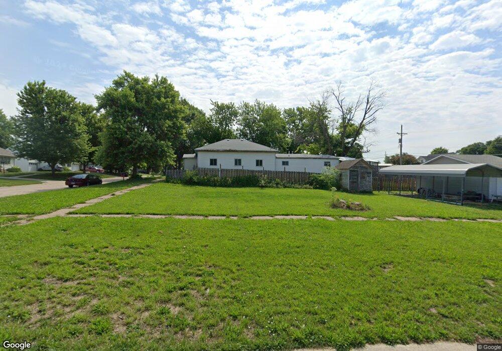
901 L St Auburn, NE 68305
Estimated Value: $68,000 - $146,000
2
Beds
1
Bath
584
Sq Ft
$162/Sq Ft
Est. Value
About This Home
This home is located at 901 L St, Auburn, NE 68305 and is currently estimated at $94,798, approximately $162 per square foot. 901 L St is a home located in Nemaha County with nearby schools including Calvert Elementary School, Auburn Middle School, and Auburn High School.
Ownership History
Date
Name
Owned For
Owner Type
Purchase Details
Closed on
Feb 27, 2025
Sold by
County Of Nemaha
Bought by
Mcneely Lynn E and Mcneely Chris
Current Estimated Value
Purchase Details
Closed on
Aug 16, 2024
Sold by
Nemaha Sheriff
Bought by
County Of Nemaha
Purchase Details
Closed on
Mar 14, 2008
Sold by
Wiles Bryan S and Wiles Amber L
Bought by
Munson Ronald R
Home Financials for this Owner
Home Financials are based on the most recent Mortgage that was taken out on this home.
Original Mortgage
$9,200
Interest Rate
5.72%
Mortgage Type
Unknown
Create a Home Valuation Report for This Property
The Home Valuation Report is an in-depth analysis detailing your home's value as well as a comparison with similar homes in the area
Home Values in the Area
Average Home Value in this Area
Purchase History
| Date | Buyer | Sale Price | Title Company |
|---|---|---|---|
| Mcneely Lynn E | -- | None Listed On Document | |
| County Of Nemaha | -- | None Listed On Document | |
| Munson Ronald R | $17,500 | -- |
Source: Public Records
Mortgage History
| Date | Status | Borrower | Loan Amount |
|---|---|---|---|
| Previous Owner | Munson Ronald R | $9,200 |
Source: Public Records
Tax History
| Year | Tax Paid | Tax Assessment Tax Assessment Total Assessment is a certain percentage of the fair market value that is determined by local assessors to be the total taxable value of land and additions on the property. | Land | Improvement |
|---|---|---|---|---|
| 2025 | -- | $0 | $0 | $0 |
| 2024 | $40 | $2,284 | $2,284 | $0 |
| 2023 | $329 | $28,681 | $4,568 | $24,113 |
| 2022 | $555 | $28,681 | $4,568 | $24,113 |
| 2021 | $549 | $28,681 | $4,568 | $24,113 |
| 2020 | $557 | $28,681 | $4,568 | $24,113 |
| 2019 | $336 | $16,925 | $2,540 | $14,385 |
| 2017 | $321 | $16,925 | $2,540 | $14,385 |
| 2016 | $321 | $16,925 | $2,540 | $14,385 |
| 2015 | $321 | $16,925 | $2,540 | $14,385 |
| 2014 | $330 | $16,925 | $2,540 | $14,385 |
Source: Public Records
Map
Nearby Homes
Your Personal Tour Guide
Ask me questions while you tour the home.