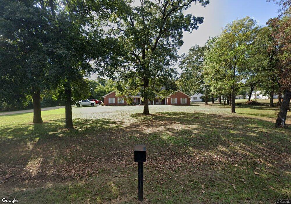
901 Louise Dr Poteau, OK 74953
Estimated Value: $213,479 - $401,000
4
Beds
2
Baths
3,434
Sq Ft
$90/Sq Ft
Est. Value
About This Home
This home is located at 901 Louise Dr, Poteau, OK 74953 and is currently estimated at $307,370, approximately $89 per square foot. 901 Louise Dr is a home located in Le Flore County with nearby schools including Poteau Primary Elementary School, Poteau Upper Elementary School, and Pansy Kidd Middle School.
Ownership History
Date
Name
Owned For
Owner Type
Purchase Details
Closed on
Oct 30, 2015
Sold by
Gateway Properties Llc
Bought by
Sommers Jay and Sommers Jennifer
Current Estimated Value
Home Financials for this Owner
Home Financials are based on the most recent Mortgage that was taken out on this home.
Original Mortgage
$233,826
Interest Rate
5.75%
Mortgage Type
Future Advance Clause Open End Mortgage
Purchase Details
Closed on
Jan 16, 2009
Sold by
Mobley Nancy and Mobley Nancy S
Bought by
Mobley Nancy N and Nancy N Mobley Revocable Trust
Create a Home Valuation Report for This Property
The Home Valuation Report is an in-depth analysis detailing your home's value as well as a comparison with similar homes in the area
Home Values in the Area
Average Home Value in this Area
Purchase History
| Date | Buyer | Sale Price | Title Company |
|---|---|---|---|
| Sommers Jay | $210,000 | None Available | |
| Mobley Nancy N | -- | -- |
Source: Public Records
Mortgage History
| Date | Status | Borrower | Loan Amount |
|---|---|---|---|
| Previous Owner | Sommers Jay | $233,826 |
Source: Public Records
Tax History Compared to Growth
Tax History
| Year | Tax Paid | Tax Assessment Tax Assessment Total Assessment is a certain percentage of the fair market value that is determined by local assessors to be the total taxable value of land and additions on the property. | Land | Improvement |
|---|---|---|---|---|
| 2025 | $1,763 | $21,340 | $1,360 | $19,980 |
| 2023 | $1,763 | $20,115 | $1,320 | $18,795 |
| 2022 | $1,658 | $19,529 | $1,320 | $18,209 |
| 2021 | $1,751 | $20,617 | $1,320 | $19,297 |
| 2020 | $1,785 | $20,919 | $1,320 | $19,599 |
| 2019 | $1,943 | $22,616 | $1,320 | $21,296 |
| 2018 | $1,853 | $22,725 | $1,320 | $21,405 |
| 2017 | $1,884 | $22,986 | $1,320 | $21,666 |
| 2016 | $1,877 | $23,100 | $1,320 | $21,780 |
| 2015 | $1,261 | $14,565 | $903 | $13,662 |
| 2014 | $1,211 | $13,871 | $860 | $13,011 |
Source: Public Records
Map
Nearby Homes
- 2104 N Broadway St Unit b
- TBD Mission Dr
- 204 Bowlin Dr
- 307 Mission Dr
- 205 Bowlin Dr
- 110 Witteville Rd
- 516 Beeler St
- 105 Witteville Rd
- 104 Craigway St
- 111 Witteville Rd
- TBD Tract #1 Coggins Ave
- TBD Tract #2 Coggins Ave
- 000 Coggins Ave
- 102 Dogwood Ave
- 104 Clark Ave
- 301 Turman St
- 2200 Redwood Ln
- 207 Thompson Ave
- 606 Torby Ave
- 107 Burkle Ave
- 304 Marguerite Ave
- 307 Orville Ave
- 900 Louise Dr
- 312 Marguerite Ave
- 302 Marguerite Ave
- 3041 Marguerite St
- 2000 N Broadway
- 306 Marguerite Ave
- 206 Orville Ave
- 112 Emmaline Ave
- 106 Mission Dr
- 211 Park Dr
- 2017 N Broadway St
- 204 Orville Ave
- 203 Park Dr
- 209 Park Dr
- 205 Mission Dr
- 2106 N Broadway St
- 1040 Mission Dr
- 115 Circle Dr