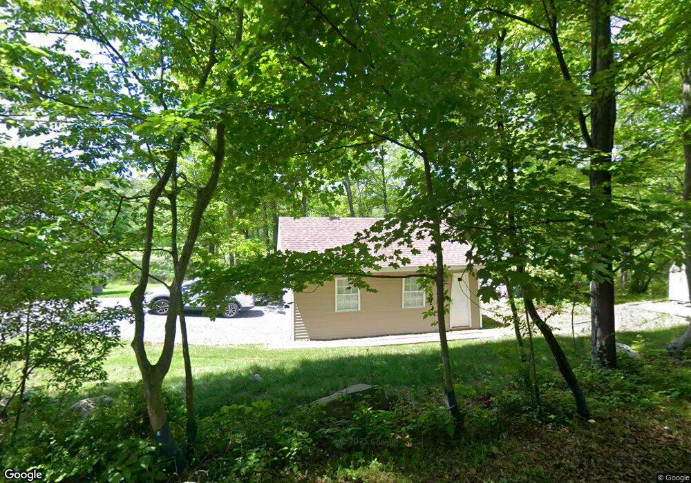
901 Lower Lake Rd E Newton, NJ 07860
Estimated Value: $280,000 - $367,012
--
Bed
--
Bath
770
Sq Ft
$419/Sq Ft
Est. Value
About This Home
This home is located at 901 Lower Lake Rd E, Newton, NJ 07860 and is currently estimated at $322,503, approximately $418 per square foot. 901 Lower Lake Rd E is a home located in Sussex County with nearby schools including Stillwater Township School and Kittatinny Regional High School.
Ownership History
Date
Name
Owned For
Owner Type
Purchase Details
Closed on
Feb 15, 2012
Sold by
Federal National Mortgage Association
Bought by
Morris Blake G
Current Estimated Value
Purchase Details
Closed on
Aug 20, 2011
Sold by
Armstrong Douglas R
Bought by
Federal National Mortgage Association
Purchase Details
Closed on
Nov 21, 2007
Sold by
Delane Gerald J
Bought by
Armstrong Douglas R
Home Financials for this Owner
Home Financials are based on the most recent Mortgage that was taken out on this home.
Original Mortgage
$225,000
Interest Rate
6.48%
Mortgage Type
Purchase Money Mortgage
Purchase Details
Closed on
Apr 12, 2005
Sold by
Rolleri Christopher V
Bought by
Delane Gerald J
Home Financials for this Owner
Home Financials are based on the most recent Mortgage that was taken out on this home.
Original Mortgage
$121,500
Interest Rate
5.78%
Mortgage Type
Purchase Money Mortgage
Create a Home Valuation Report for This Property
The Home Valuation Report is an in-depth analysis detailing your home's value as well as a comparison with similar homes in the area
Home Values in the Area
Average Home Value in this Area
Purchase History
| Date | Buyer | Sale Price | Title Company |
|---|---|---|---|
| Morris Blake G | $108,500 | Old Republic National Title | |
| Federal National Mortgage Association | -- | None Available | |
| Armstrong Douglas R | $250,000 | None Available | |
| Delane Gerald J | $135,000 | Colonial Title & Abstract Se |
Source: Public Records
Mortgage History
| Date | Status | Borrower | Loan Amount |
|---|---|---|---|
| Previous Owner | Armstrong Douglas R | $225,000 | |
| Previous Owner | Delane Gerald J | $121,500 |
Source: Public Records
Tax History Compared to Growth
Tax History
| Year | Tax Paid | Tax Assessment Tax Assessment Total Assessment is a certain percentage of the fair market value that is determined by local assessors to be the total taxable value of land and additions on the property. | Land | Improvement |
|---|---|---|---|---|
| 2025 | $6,882 | $189,700 | $111,600 | $78,100 |
| 2024 | $6,662 | $189,700 | $111,600 | $78,100 |
| 2023 | $6,662 | $189,700 | $111,600 | $78,100 |
| 2022 | $5,040 | $180,300 | $111,600 | $68,700 |
| 2021 | $5,040 | $151,400 | $82,700 | $68,700 |
| 2020 | $4,858 | $151,400 | $82,700 | $68,700 |
| 2019 | $4,663 | $151,400 | $82,700 | $68,700 |
| 2018 | $4,675 | $151,400 | $82,700 | $68,700 |
| 2017 | $4,601 | $151,400 | $82,700 | $68,700 |
| 2016 | $4,472 | $151,400 | $82,700 | $68,700 |
| 2015 | $4,445 | $151,400 | $82,700 | $68,700 |
| 2014 | $4,415 | $151,400 | $82,700 | $68,700 |
Source: Public Records
Map
Nearby Homes
- 908 Willow Dr
- 31 Kent Rd
- 10 Glenbrook Dr
- 903 Aspen Ct
- 921 Tulip Trail
- 000 Pepperidge Dr
- 17 Eastbrook Ln
- 8 Possaghi Rd
- 0 Mount Benevolence Rd
- 68 W Shore Dr
- 121 W Shore Dr
- 903 Twin Oaks Rd
- 90 Kemah Mecca Lake Rd
- 21 Lake Rd
- 00 Plymouth Lake Dr
- 947 Plymouth Lake Dr
- 17 17 West Owassa Tnpk
- 1071 County Road 521
- 25 County Road 521
- 1055-1057 Rt521
- 907 Lower Lake Rd E
- 944 Hampton Rd
- 942 Hampton Rd
- 949 Hampton Rd
- 940 Hampton Rd
- 903 Baldwin Gate
- 901 Lower Lake W
- 901 Baldwin Gate
- 909 Lower Lake Rd E
- 916 Lower Lake Rd E
- 902 Holly Path
- 900 Primrose Path
- 904 Curving Ln
- 918 Lower Lake Rd E
- 901 Iris Cir
- 911 Lower Lake Rd E
- 903 Iris Cir
- 902 Peony Ln
- 901 Curving Ln
- 903 S Beach Trail