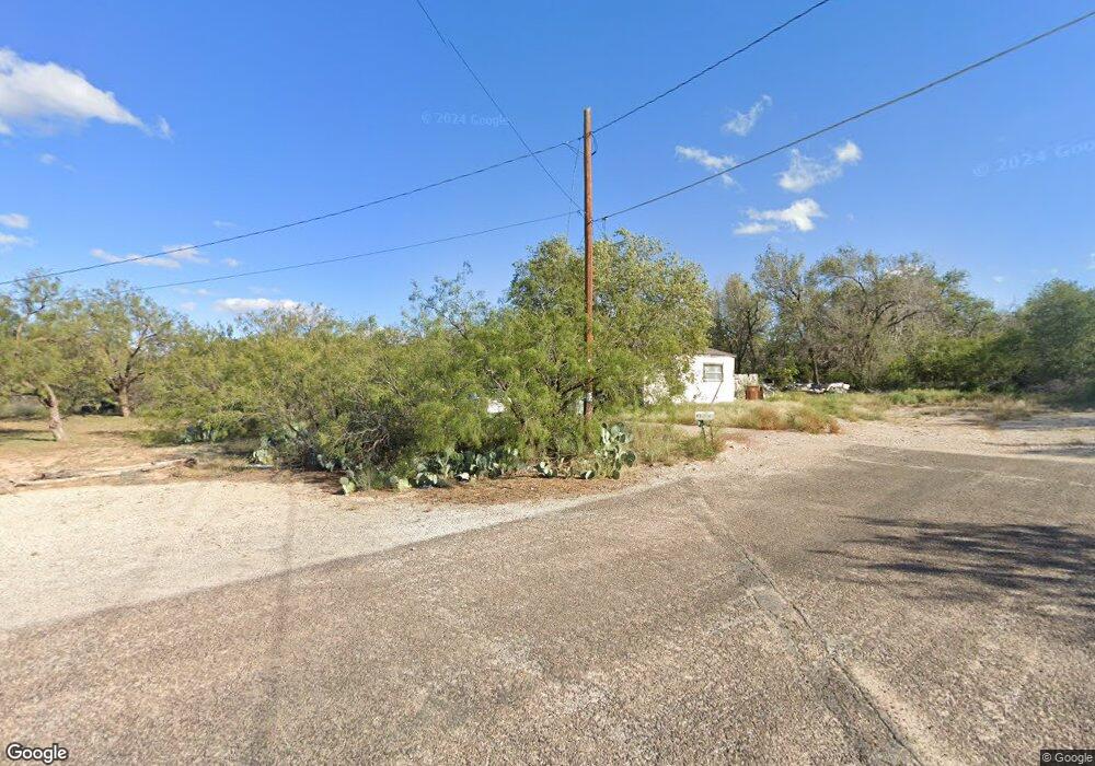
901 Magnolia Ave Big Spring, TX 79720
Estimated Value: $72,808 - $112,000
--
Bed
--
Bath
1,460
Sq Ft
$65/Sq Ft
Est. Value
About This Home
This home is located at 901 Magnolia Ave, Big Spring, TX 79720 and is currently estimated at $94,952, approximately $65 per square foot. 901 Magnolia Ave is a home located in Howard County with nearby schools including Big Spring High School, St. Mary's Episcopal School, and Nazarene Christian Academy Big Spring.
Ownership History
Date
Name
Owned For
Owner Type
Purchase Details
Closed on
Jul 14, 2014
Sold by
901 Magnolia Trust And Mile High Group I
Bought by
Wasl Inc
Current Estimated Value
Home Financials for this Owner
Home Financials are based on the most recent Mortgage that was taken out on this home.
Original Mortgage
$55,200
Outstanding Balance
$42,046
Interest Rate
4.16%
Mortgage Type
New Conventional
Estimated Equity
$52,906
Purchase Details
Closed on
Sep 26, 2012
Sold by
Mile High Group Inc
Bought by
901 Magonlia Trust
Create a Home Valuation Report for This Property
The Home Valuation Report is an in-depth analysis detailing your home's value as well as a comparison with similar homes in the area
Home Values in the Area
Average Home Value in this Area
Purchase History
| Date | Buyer | Sale Price | Title Company |
|---|---|---|---|
| Wasl Inc | -- | Reliant Title Agency | |
| 901 Magonlia Trust | -- | None Available |
Source: Public Records
Mortgage History
| Date | Status | Borrower | Loan Amount |
|---|---|---|---|
| Open | Wasl Inc | $55,200 |
Source: Public Records
Tax History Compared to Growth
Tax History
| Year | Tax Paid | Tax Assessment Tax Assessment Total Assessment is a certain percentage of the fair market value that is determined by local assessors to be the total taxable value of land and additions on the property. | Land | Improvement |
|---|---|---|---|---|
| 2024 | $642 | $37,494 | $20,212 | $17,282 |
| 2023 | $530 | $30,063 | $9,200 | $20,863 |
| 2022 | $456 | $22,323 | $7,360 | $14,963 |
| 2021 | $1,047 | $44,539 | $7,360 | $37,179 |
| 2020 | $941 | $39,589 | $7,360 | $32,229 |
| 2019 | $928 | $36,692 | $7,360 | $29,332 |
| 2018 | $1,128 | $37,639 | $7,360 | $30,279 |
| 2017 | $711 | $24,152 | $7,360 | $16,792 |
| 2016 | $732 | $24,883 | $7,360 | $17,523 |
| 2015 | -- | $25,613 | $7,360 | $18,253 |
| 2014 | -- | $5,274 | $2,760 | $2,514 |
Source: Public Records
Map
Nearby Homes
- 815 W 7th St
- 1204 Pennsylvania Ave
- 606 San Jacinto St
- 803 W 14th St
- 1305 Pennsylvania Ave
- 0 Interstate 20
- 0 Nix Rd
- 509 S Aylesford St
- 801 W 15th St
- 503 S Aylesford St
- 509 S Bell St
- 2300 W 3rd St
- 1600 Indian Hills Dr
- 1011 W 3rd St
- 203 Galveston St
- 702 W 18th St
- 1 Kiowa Cir
- 107 W 10th St
- 1308 Scurry St Unit A,B,C,D,E
- 911 Mountain Park Dr