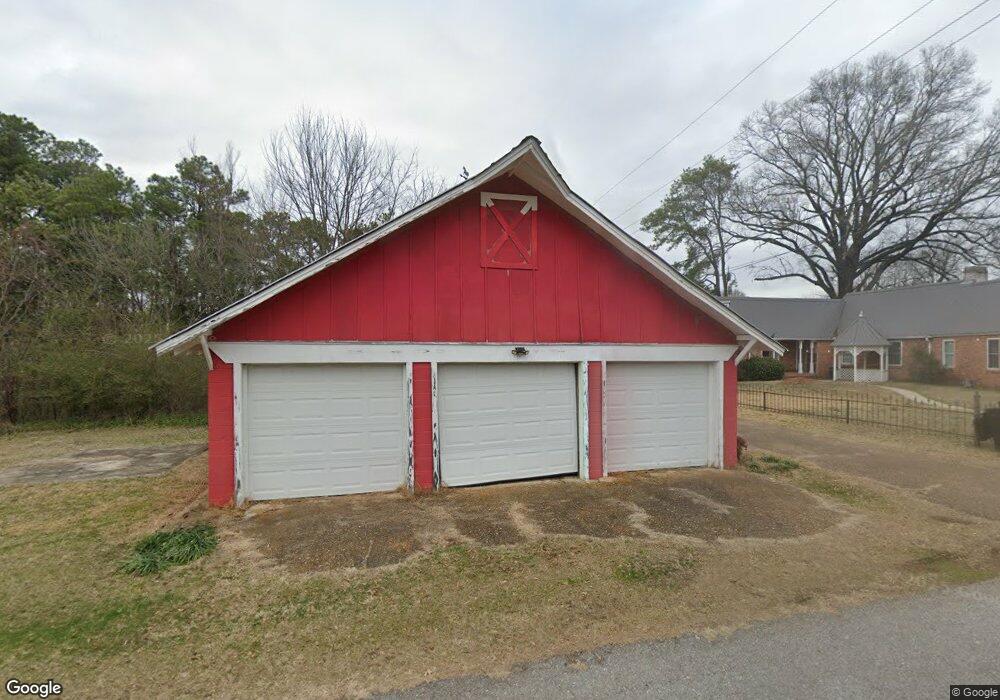
901 Main Ave Dierks, AR 71833
Estimated Value: $166,000 - $174,000
Studio
2
Baths
2,219
Sq Ft
$76/Sq Ft
Est. Value
About This Home
This home is located at 901 Main Ave, Dierks, AR 71833 and is currently estimated at $169,314, approximately $76 per square foot. 901 Main Ave is a home located in Howard County with nearby schools including Joann Walters Elementary School and Dierks High School.
Ownership History
Date
Name
Owned For
Owner Type
Purchase Details
Closed on
Jan 28, 2022
Sold by
Vance Lou A
Bought by
Tedford Cody L and Tedford Kara D
Current Estimated Value
Purchase Details
Closed on
Jan 12, 2022
Sold by
Vance Michael S
Bought by
Vance Lou A
Purchase Details
Closed on
Feb 10, 2017
Sold by
Hunter Erin and Sprick Stephen J
Bought by
Vance Michael S and Vance Lou A
Home Financials for this Owner
Home Financials are based on the most recent Mortgage that was taken out on this home.
Original Mortgage
$149,050
Interest Rate
4.32%
Mortgage Type
FHA
Purchase Details
Closed on
Sep 13, 2013
Sold by
Deere Rose Diane and Deere Leon
Bought by
Hunter Erin
Home Financials for this Owner
Home Financials are based on the most recent Mortgage that was taken out on this home.
Original Mortgage
$114,201
Interest Rate
4.41%
Mortgage Type
FHA
Purchase Details
Closed on
Jul 17, 1972
Bought by
Reese
Create a Home Valuation Report for This Property
The Home Valuation Report is an in-depth analysis detailing your home's value as well as a comparison with similar homes in the area
Purchase History
| Date | Buyer | Sale Price | Title Company |
|---|---|---|---|
| Tedford Cody L | $140,000 | Steel & Gunter | |
| Vance Lou A | -- | Steel And Gunter | |
| Vance Michael S | $151,800 | Cowling Title Company | |
| Hunter Erin | $117,000 | None Available | |
| Reese | -- | -- |
Source: Public Records
Mortgage History
| Date | Status | Borrower | Loan Amount |
|---|---|---|---|
| Previous Owner | Vance Michael S | $149,050 | |
| Previous Owner | Hunter Erin | $114,201 |
Source: Public Records
Tax History
| Year | Tax Paid | Tax Assessment Tax Assessment Total Assessment is a certain percentage of the fair market value that is determined by local assessors to be the total taxable value of land and additions on the property. | Land | Improvement |
|---|---|---|---|---|
| 2025 | $1,330 | $28,410 | $2,430 | $25,980 |
| 2024 | $1,267 | $24,090 | $1,940 | $22,150 |
| 2023 | $1,282 | $24,380 | $1,940 | $22,440 |
| 2022 | $1,282 | $24,380 | $1,940 | $22,440 |
| 2021 | $1,251 | $24,380 | $1,940 | $22,440 |
| 2020 | $1,251 | $24,380 | $1,940 | $22,440 |
| 2019 | $1,251 | $24,380 | $1,940 | $22,440 |
| 2018 | $1,175 | $22,910 | $1,940 | $20,970 |
| 2017 | $1,175 | $22,910 | $1,940 | $20,970 |
| 2016 | $825 | $22,910 | $1,940 | $20,970 |
| 2015 | $1,152 | $22,910 | $1,940 | $20,970 |
| 2014 | $1,152 | $22,910 | $1,940 | $20,970 |
| 2013 | $1,106 | $21,990 | $1,940 | $20,050 |
Source: Public Records
Map
Nearby Homes
- 211 Murray St
- 403 W 1st St
- 511 W 1st St
- 1480 Highway 70 W
- US 70 W
- 1479 Highway 369 N
- 2895 U S 70
- xx Shaw Rd
- xx Shawn
- 1001 Mount Carmel Rd
- TBD Bluegrass Rd
- 895 Faulkner Rd
- 115 J B Steel Rd
- TBD Tollett Rd
- 66 Arkansas 369
- 9 Lake View Ln
- 0 Pine Mountain Rd
- 138 Honey Island Rd
- TBD Gillham Lake Rd
- 138 Honey Island
Your Personal Tour Guide
Ask me questions while you tour the home.