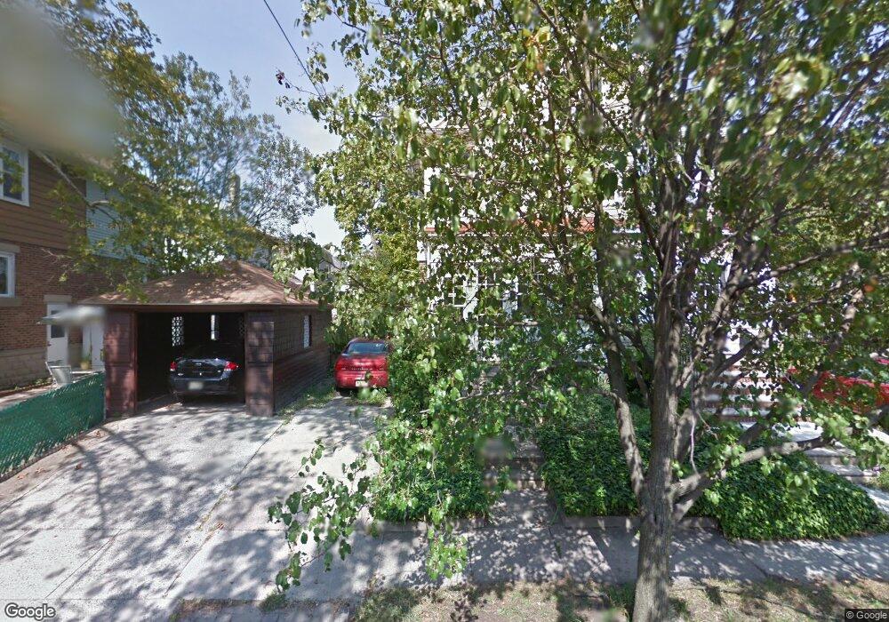
901 Maple Ave Collingswood, NJ 08108
Estimated Value: $285,469 - $436,000
--
Bed
--
Bath
1,260
Sq Ft
$287/Sq Ft
Est. Value
About This Home
This home is located at 901 Maple Ave, Collingswood, NJ 08108 and is currently estimated at $361,117, approximately $286 per square foot. 901 Maple Ave is a home located in Camden County with nearby schools including Zane North Elementary School, William P. Tatem Elementary School, and Collingswood Middle School.
Ownership History
Date
Name
Owned For
Owner Type
Purchase Details
Closed on
Aug 28, 2025
Sold by
Elite Home Buyers Llc
Bought by
Holden Hill Properties Llc
Current Estimated Value
Home Financials for this Owner
Home Financials are based on the most recent Mortgage that was taken out on this home.
Original Mortgage
$304,200
Outstanding Balance
$303,932
Interest Rate
6.63%
Mortgage Type
Construction
Estimated Equity
$57,185
Create a Home Valuation Report for This Property
The Home Valuation Report is an in-depth analysis detailing your home's value as well as a comparison with similar homes in the area
Home Values in the Area
Average Home Value in this Area
Purchase History
| Date | Buyer | Sale Price | Title Company |
|---|---|---|---|
| Holden Hill Properties Llc | $280,000 | Homestead Title | |
| Elite Home Buyers Llc | $187,500 | Homestead Title |
Source: Public Records
Mortgage History
| Date | Status | Borrower | Loan Amount |
|---|---|---|---|
| Open | Holden Hill Properties Llc | $304,200 |
Source: Public Records
Tax History Compared to Growth
Tax History
| Year | Tax Paid | Tax Assessment Tax Assessment Total Assessment is a certain percentage of the fair market value that is determined by local assessors to be the total taxable value of land and additions on the property. | Land | Improvement |
|---|---|---|---|---|
| 2025 | $6,955 | $321,200 | $168,500 | $152,700 |
| 2024 | $6,853 | $179,300 | $63,900 | $115,400 |
| 2023 | $6,853 | $179,300 | $63,900 | $115,400 |
| 2022 | $6,683 | $179,300 | $63,900 | $115,400 |
| 2021 | $6,505 | $179,300 | $63,900 | $115,400 |
| 2020 | $6,430 | $179,300 | $63,900 | $115,400 |
| 2019 | $6,290 | $179,300 | $63,900 | $115,400 |
| 2018 | $6,229 | $179,300 | $63,900 | $115,400 |
| 2017 | $6,146 | $179,300 | $63,900 | $115,400 |
| 2016 | $5,987 | $179,300 | $63,900 | $115,400 |
| 2015 | $5,809 | $179,300 | $63,900 | $115,400 |
| 2014 | $5,648 | $179,300 | $63,900 | $115,400 |
Source: Public Records
Map
Nearby Homes
- 915 Haddon Ave
- 869 Haddon Ave
- 4 W Homestead Ave
- 212 E Linden Ave
- 111 Cooper Ave
- 515 Lincoln Ave
- 264 New Jersey Ave
- 201 W Cuthbert Blvd Unit D51
- 30 Lincoln Ave
- 820 Stokes Ave
- 725 Stokes Ave
- 928 Linwood Ave
- 940 Linwood Ave
- 830 Linwood Ave
- 1108 Stokes Ave
- 35 Woodlawn Ave
- 605 N Atlantic Ave Unit 315
- 405 Lees Ave
- 919 Belmont Ave
- 606 N Atlantic Ave
- 903 Maple Ave
- 102 E Stiles Ave
- 104 E Stiles Ave
- 100 E Stiles Ave
- 106 E Stiles Ave
- 110 E Stiles Ave
- 114 E Stiles Ave Unit 116
- 107 E Homestead Ave
- 103 E Homestead Ave
- 30 E Stiles Ave
- 112 E Stiles Ave
- 109 E Homestead Ave
- 900 Maple Ave
- 902 Maple Ave
- 28 E Stiles Ave
- 29 E Homestead Ave
- 115 E Homestead Ave
- 26 E Stiles Ave
- 24 E Stiles Ave
- 25 E Homestead Ave